Back to the librarykm 8 · Aug 2026 · © tasmaniadevil / Mapillary, CC BY-SA km 32 · Jun 2019 · © zoegglmeyr / Mapillary, CC BY-SA km 41 · Sep 2026 · © tasmaniadevil / Mapillary, CC BY-SA km 72 · Oct 2026 · © tasmaniadevil / Mapillary, CC BY-SA km 1–13km 32–35km 55–63
Road bikeRouteCasterRound trip
Rondje Schloss Dautenstein en Hoher Geisberg
Distance
73 km
Ascent
1,293 m
Highest point
704 m
100% paved
Start from your location
Ride there from home: we find the shortest way to the loop and start the loop from there.
The ride
Roll out of Haslach im Kinzigtal for 73.1 km of paved riding and 1293 m of climbing. The route climbs into the Hoher Geisberg nature reserve, then drops to the Schutter river and past the Historische Mühle Glatz watermill. Next comes Schloss Dautenstein castle, before the Kinzig river leads you back to Haslach.
Along the way
Climbs
Climb 1Cat. 2
11.8 km at 3.5% · max 24%
Climb 2Cat. 4
2.7 km at 4.4% · max 16.6%
Climb 3Cat. 2
7.9 km at 6.2% · max 30.9%
Routes nearby
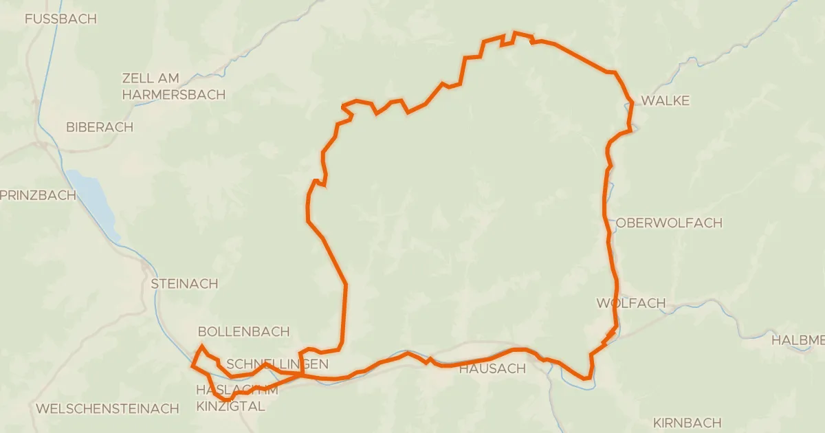
Road bike99% paved
MareileTour
47 km↑ 916 m7 km away
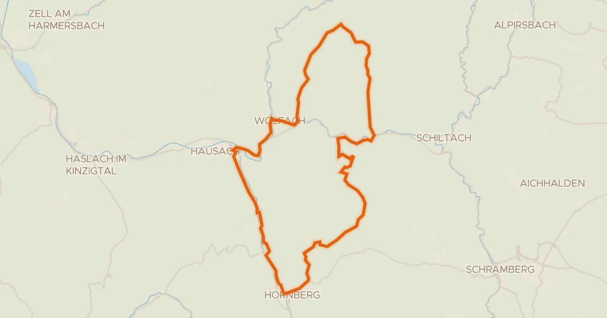
Road bike100% paved
TeufelsteinTour
49 km↑ 1,265 m12 km away
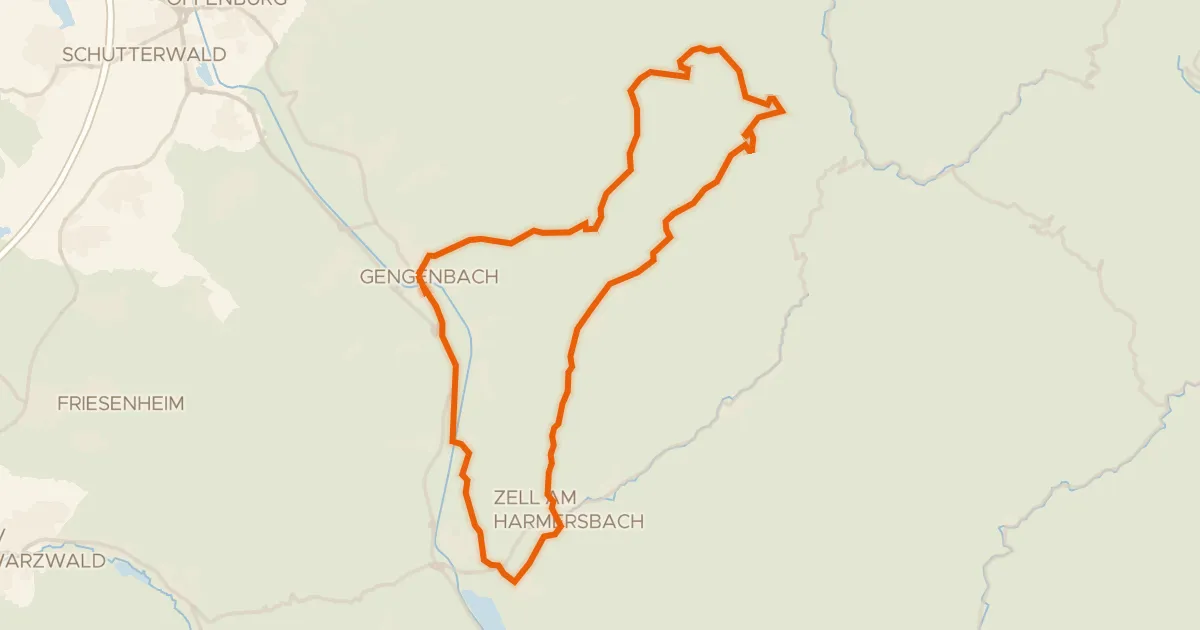
Gravel69% paved
MoospfaffTour
46 km↑ 818 m13 km away
Kornebene
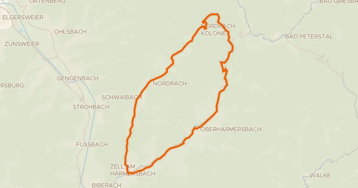
Road bike95% paved
Maria zu den Ketten-Tour
32 km↑ 732 m13 km away
Löcherbergwasen · Schäfersfeld
Gravel12% paved
Rondje Huberfelsen en Blindensee
62 km↑ 2,572 m13 km away
Road bike98% paved
ZierlegeistTour
41 km↑ 1,346 m15 km away
Freiersberg · Löcherbergwasen