Back to the librarykm 25 · Dec 2025 · © mfa / Mapillary, CC BY-SA km 34 · Sep 2023 · © VIA_DT / Mapillary, CC BY-SA km 0–1km 4–6km 55–56
GravelRouteCasterRound trip
Rondje Burg Landeck en Dreisam
Distance
57 km
Ascent
497 m
Highest point
411 m
30% paved
Start from your location
Ride there from home: we find the shortest way to the loop and start the loop from there.
The ride
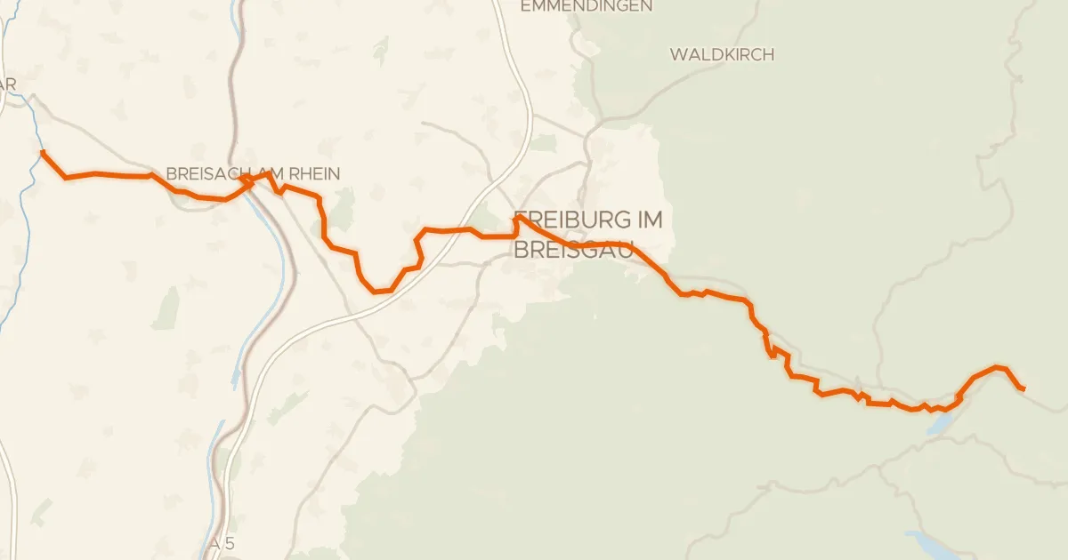
This ride rolls out of Landeck and back again, 56.8 km with 497 m of climbing. You pass Burg Landeck castle, then Teninger Allmend forest, before following the Dreisam and Elz rivers. Most of the route is unpaved, so expect a mix of surfaces. It ends past Bürgle castle, right back in Landeck.
Along the way
Climbs
Climb 1Cat. 4
0.9 km at 15.3% · max 29.7%
Climb 2Hill
1.7 km at 4% · max 6.6%
Climb 3Hill
0.9 km at 8.6% · max 11.2%
Routes nearby
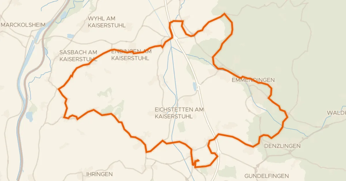
Road bike99% paved
Rondje Badberg en Teninger Allmend
75 km↑ 560 m7 km away
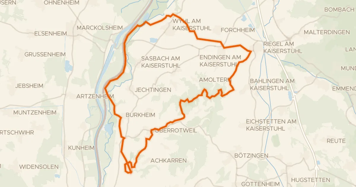
Gravel28% paved
Rondje Schloss Burkheim en Burg Sponeck
55 km↑ 620 m14 km away
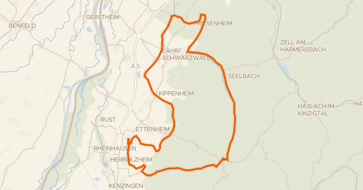
Road bike99% paved
Rondje Hammerschmiede en Hohbergsee
77 km↑ 772 m16 km away
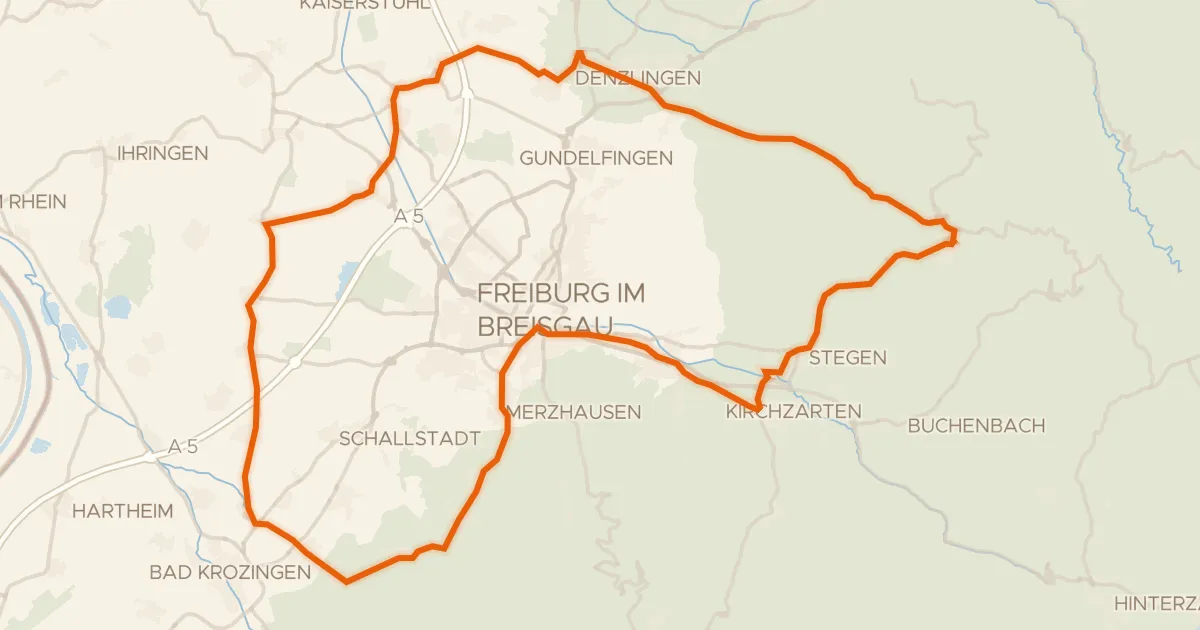
Road bike101% paved
Rondje langs de Dreisam en de Möhlin
81 km↑ 895 m17 km away
Touring89% paved
Grüne Straße - Route Verte
93 km↑ 660 m20 km away
Gravel12% paved
Rondje Huberfelsen en Blindensee
62 km↑ 2,572 m22 km away