Back to the librarykm 18 · Dec 2025 · © derlipper / Mapillary, CC BY-SA km 32 · Dec 2025 · © derlipper / Mapillary, CC BY-SA km 52 · Dec 2025 · © mfa / Mapillary, CC BY-SA km 76 · Aug 2023 · © VIA_DT / Mapillary, CC BY-SA km 22–27
Road bikeRouteCasterRound trip
Rondje langs de Dreisam en de Möhlin
Distance
81 km
Ascent
895 m
Highest point
762 m
101% paved
Start from your location
Ride there from home: we find the shortest way to the loop and start the loop from there.
The ride
Roll out of St. Peter and past Schloss Stegen-Weiler, then Schloss Bollschweil, castle after castle. The Ölberg Ehrenstetten nature reserve comes next, before the Möhlin and Dreisam rivers lead you toward the Teninger Allmend forest. With 80.6 km of paved riding and 895 m of climbing, it all loops back to St. Peter.
Along the way
Climbs
Climb 1Cat. 4
4.6 km at 3.1% · max 10.2%
Routes nearby
Touring88% paved
RP17 Hochtal-Route
23 km↑ 538 m16 km away
Passhöhe Escheck
Touring89% paved
Grüne Straße - Route Verte
93 km↑ 660 m17 km away
Gravel30% paved
Rondje Burg Landeck en Dreisam
57 km↑ 497 m18 km away
Gravel12% paved
Rondje Huberfelsen en Blindensee
62 km↑ 2,572 m18 km away
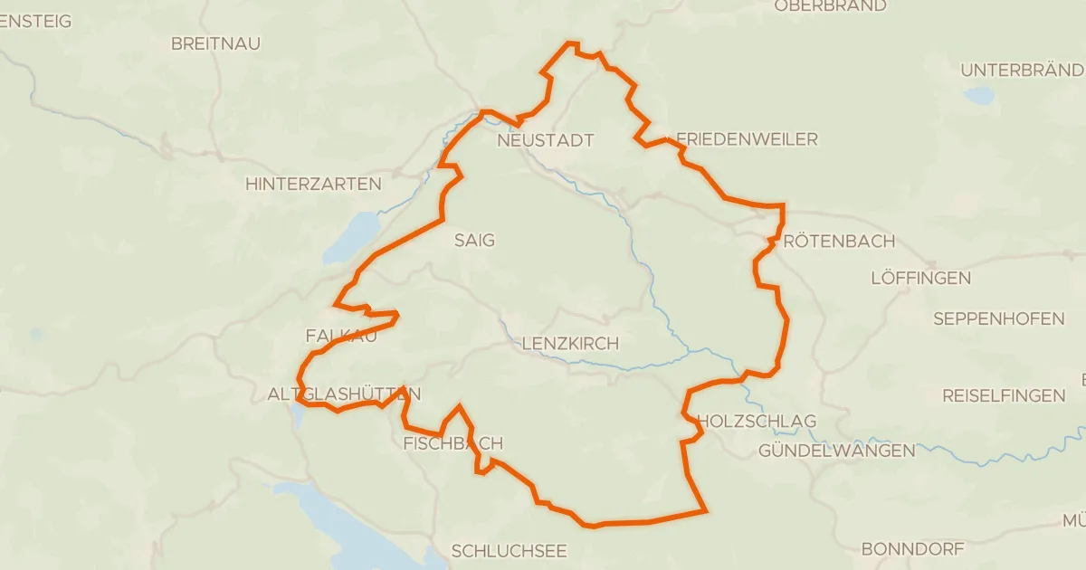
Gravel12% paved
Rondje Wutachschlucht en Feldberg-Schluchsee
61 km↑ 1,501 m20 km away
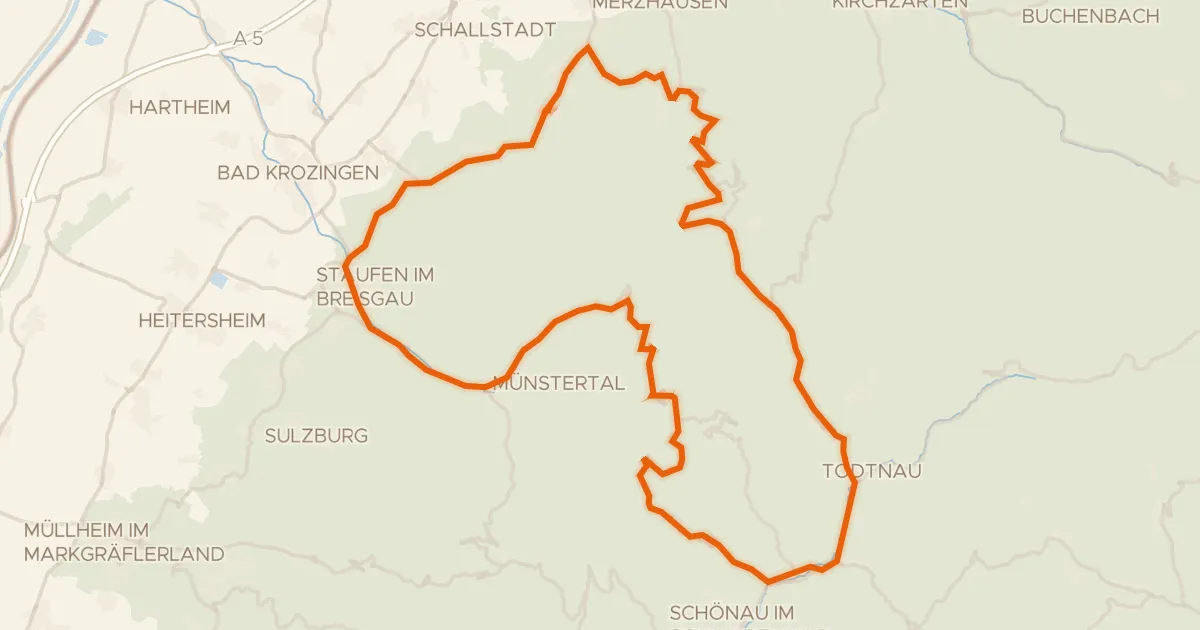
Road bike100% paved
Rondje Belchen en Gletscherkessel Präg
74 km↑ 1,989 m22 km away