Back to the librarykm 9–10km 12–13km 13–14km 17–18km 21–23km 23–25km 26–27km 31–32km 32–33km 36–38km 39–42
GravelMade by RouteCasterRound trip
Rondje Römerkastell Irgenhausen en Pfäffikersee
Distance
59 km
Ascent
1,334 m
Highest point
771 m
25% paved
Start from your location
Ride there from home: we find the shortest way to the loop and start the loop from there.
The ride
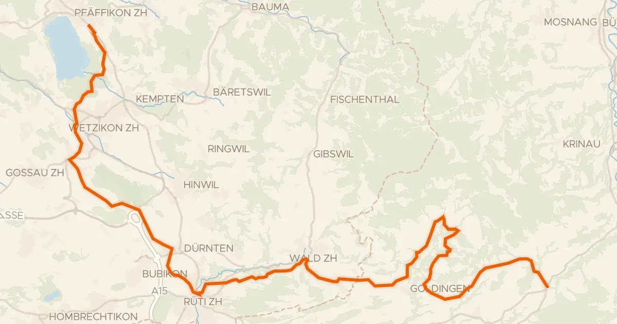
From Pfäffikon ZH you roll out past Pfäffikersee lake, then swing by the Römerkastell Irgenhausen castle before the route follows the Töss river onward. Along the way the Mattenbach and Kempt rivers keep you company as the climbing adds up to 1334 m over 58.8 km. Most of it runs unpaved, so expect a mixed day in the saddle before you loop back to where you started.
Climbs
Climb 1Cat. 4
0.7 km at 12.7% · max 21.6%
Climb 2Hill
1.4 km at 4% · max 16.1%
Climb 3Hill
0.5 km at 11.5% · max 23.7%
Climb 4Hill
1.3 km at 3.5% · max 14.6%
Climb 5Cat. 3
1.8 km at 9.4% · max 21.4%
Climb 6Cat. 4
1.5 km at 6.2% · max 35.4%
Climb 7Hill
1 km at 3.3% · max 12.5%
Climb 8Hill
1 km at 3.3% · max 18.1%
Climb 9Cat. 4
1.1 km at 7.9% · max 24.3%
Climb 10Hill
1.2 km at 3.2% · max 12.9%
Climb 11Cat. 3
2.7 km at 8.3% · max 21.6%
Routes nearby
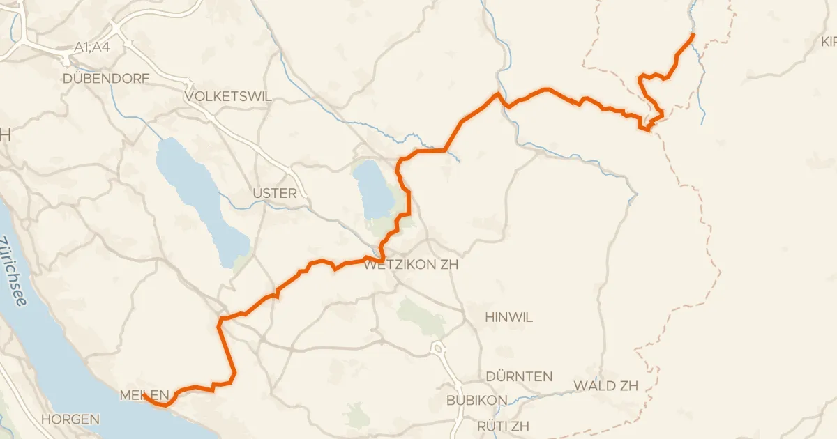
Road bike98% paved
Pilger-Route
47 km↑ 944 m3 km away
Sternenbergpass · Wasserscheide Limmat/Aa
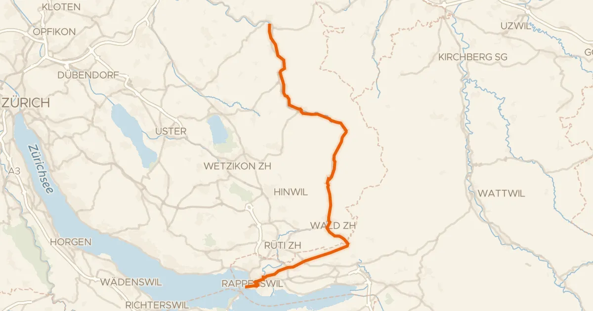
Road bike99% paved
Töss-Jona-Route
41 km↑ 411 m8 km away
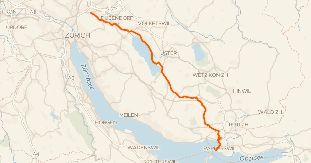
Road bike96% paved
Glatt-Route
35 km↑ 307 m8 km away
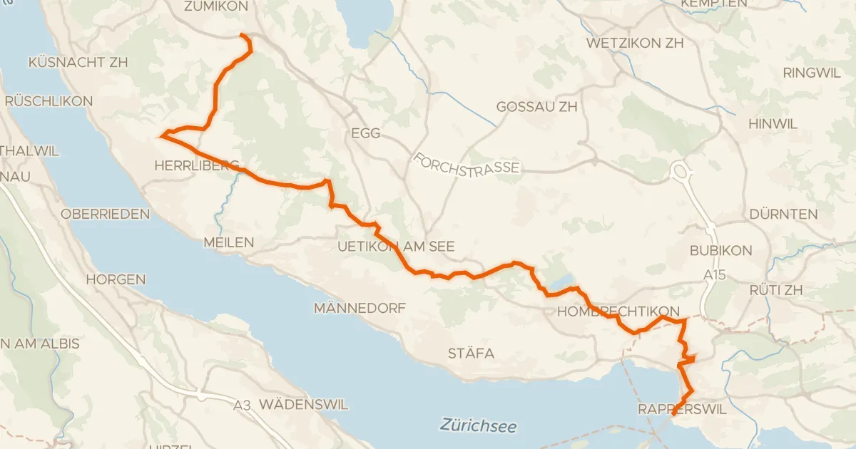
Road bike98% paved
Rapperswil - Forch
29 km↑ 381 m11 km away
Türli · Wasserscheide Limmat/Aa
Road bike98% paved
Rheinfall - Zürcher Oberland - Etappe 2
43 km↑ 901 m12 km away
Oberricken · Ricken
Touring76% paved
Herzschlaufe Wil – Etappe 1
43 km↑ 1,096 m13 km away