Back to the librarykm 0–8
Road bike
Pilger-Route
Distance
47 km
Ascent
944 m
Highest point
960 m
98% paved
The ride
47.2 km, 944 m of climbing, and 98% paved with just 2% unpaved — that's this ride in a nutshell. Along the way you pass Sternenbergpass and the Wasserscheide Limmat/Aa. Short enough to feel doable, hilly enough to keep things interesting. Enjoy the mix of surfaces and the two stops on the route.
Passes
SternenbergpassWasserscheide Limmat/Aa
Climbs
SternenbergpassCat. 2
7.6 km at 4.5% · max 23.8%
Routes nearby
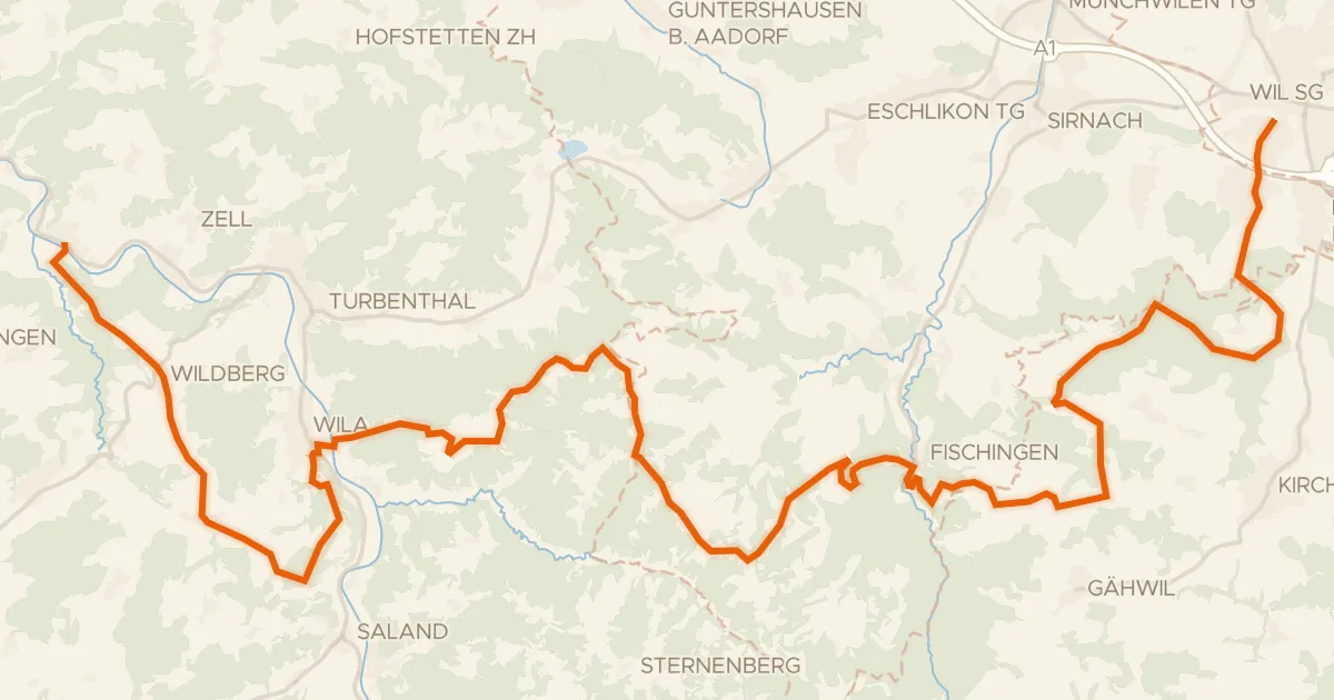
Touring76% paved
Herzschlaufe Wil – Etappe 1
43 km↑ 1,096 m4 km away
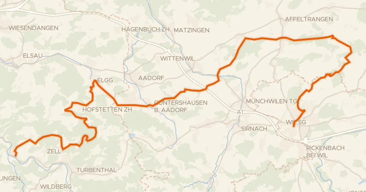
Gravel62% paved
Herzschlaufe Wil – Etappe 2
51 km↑ 1,201 m8 km away
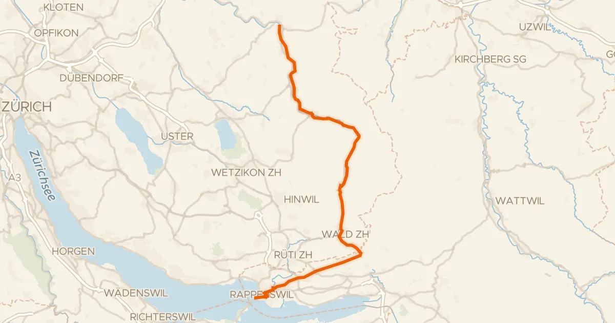
Road bike99% paved
Töss-Jona-Route
41 km↑ 411 m12 km away
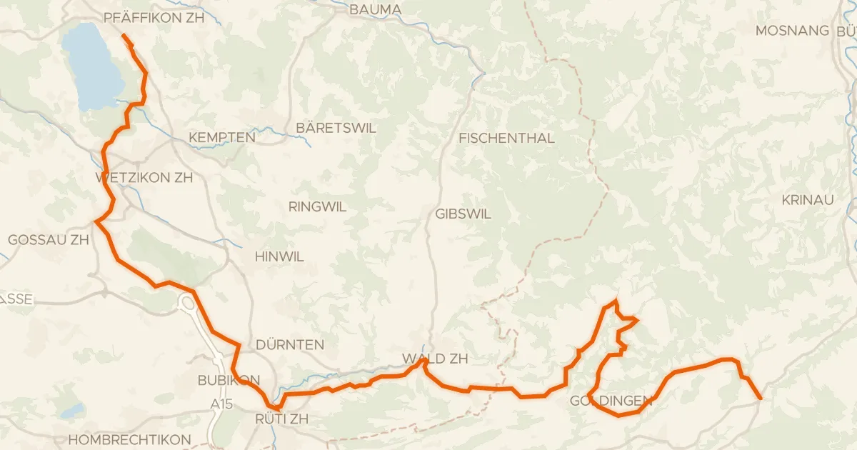
Road bike98% paved
Rheinfall - Zürcher Oberland - Etappe 2
43 km↑ 901 m12 km away
Oberricken · Ricken
Touring78% paved
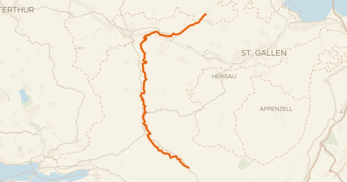
Thur-Route
54 km↑ 810 m15 km away
Touring91% paved
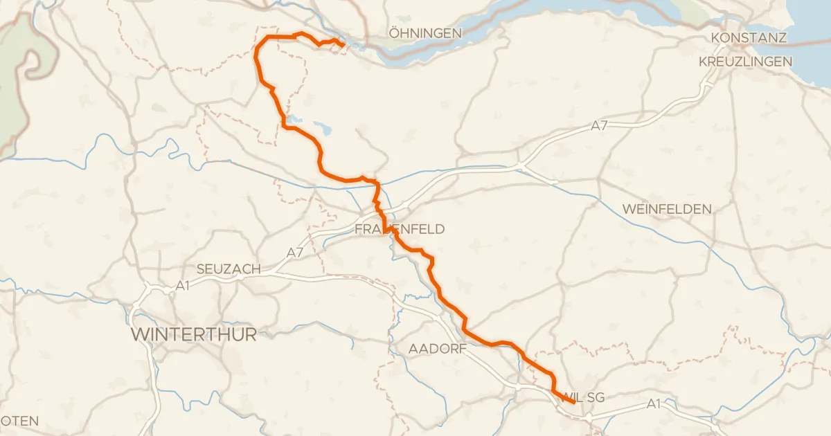
Kartäuser-Fürstenland-Route
43 km↑ 573 m17 km away