Back to the librarykm 11 · Jun 2019 · © grinninghamster / Mapillary, CC BY-SA km 49 · Jun 2021 · © grinninghamster / Mapillary, CC BY-SA km 15–16km 30–32km 37–38km 38–39km 41–45
GravelRouteCasterRound trip
Rondje Helfholzwiesen bei Erda en Oberes Verstal
Distance
57 km
Ascent
799 m
Highest point
420 m
18% paved
Start from your location
Ride there from home: we find the shortest way to the loop and start the loop from there.
The ride
Roll out from Parkeerplaats Holzwäldchen bei Krofdorf-Gleiberg and let the ride unfold. The route runs through Naturpark Lahn-Dill-Bergland, then past the Helfholzwiesen bei Erda and Brühl von Erda nature reserves, before climbing through Oberes Verstal. With 56.9 km and 799 m of elevation gain, most of it unpaved, it's a steady day out that loops you back to where you started.
Along the way
Climbs
Climb 1Hill
0.7 km at 4.6% · max 7.2%
Climb 2Hill
2.1 km at 3.2% · max 7.7%
Climb 3Hill
1 km at 4.1% · max 12.1%
Climb 4Hill
0.6 km at 6.2% · max 16.2%
Climb 5Cat. 4
3.7 km at 3.9% · max 10.8%
Routes nearby
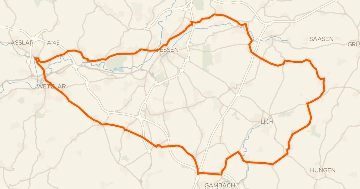
Road bike98% paved
Rondje Busecker Schloss en Burg Hermannstein
88 km↑ 635 m7 km away
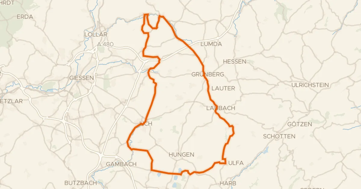
Road bike100% paved
Rondje langs Schloss Lich en Schloss Laubach
90 km↑ 960 m20 km away
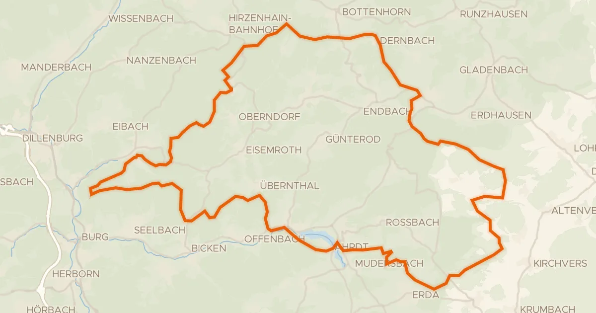
Gravel15% paved
Rondje Burg Tringenstein en Aartalsperre bei Mudersbach
77 km↑ 1,820 m20 km away
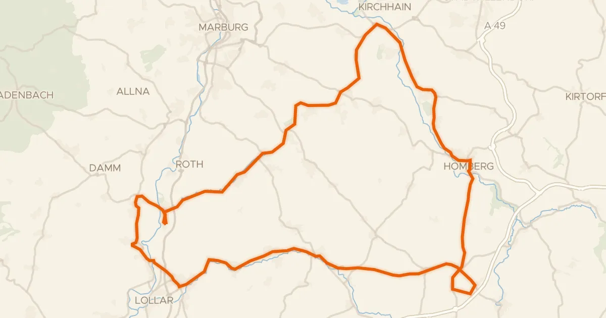
Road bike98% paved
Rondje langs de Oberburg Staufenberg en Schweinsberger Moor
81 km↑ 595 m22 km away
Road bike99% paved
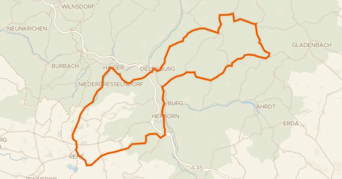
Rondje Schloss Herborn en Die Struth von Bottenhorn
92 km↑ 1,583 m26 km away
Gravel31% paved
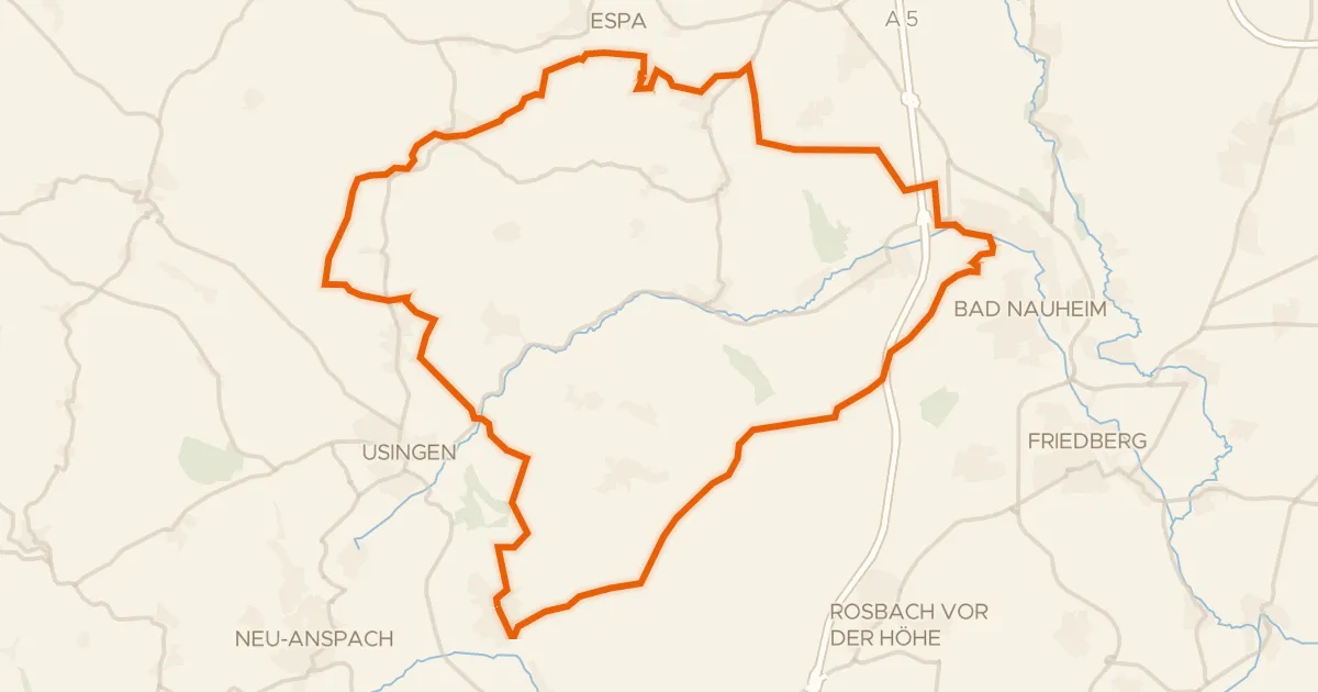
Rondje Hausbergturm en Usa
56 km↑ 774 m26 km away