Back to the librarykm 26–32km 34–35km 35–36km 49–51
GravelRouteCasterRound trip
Rondje Hausbergturm en Usa
Distance
56 km
Ascent
774 m
Highest point
511 m
31% paved
Start from your location
Ride there from home: we find the shortest way to the loop and start the loop from there.
The ride
Roll out of Wehrheim and let the route unfold: first the nature reserve at Eichkopf bei Obermörlen, then up to the Hausbergturm viewpoint. Down along the Usa river, on through the Röllbachtal bei Usingen nature reserve, and back to where you started. Of the 56.5 km, most runs unpaved, with 774 m of climbing along the way.
Climbs
Climb 1Cat. 3
5.4 km at 4.9% · max 19.1%
Climb 2Hill
0.8 km at 3.5% · max 8.2%
Climb 3Hill
1.3 km at 5.5% · max 9.3%
Climb 4Cat. 4
2 km at 5.7% · max 10%
Routes nearby
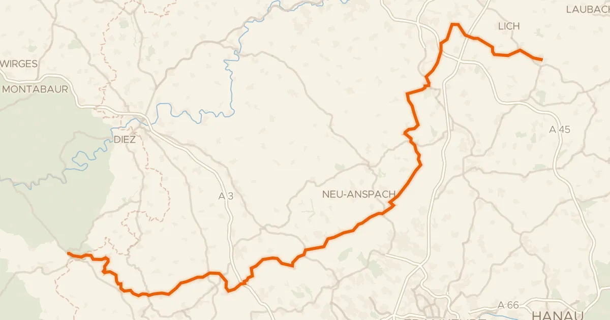
Gravel55% paved
Deutscher Limes-Radweg 2. Abschnitt Holzhausen - Hungen
137 km↑ 2,357 m12 km away
Sandplacken · Rotes Kreuz
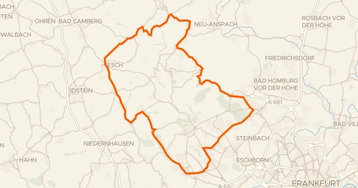
Road bike100% paved
Rondje Wasserturm en Heftricher Moor
73 km↑ 1,391 m13 km away
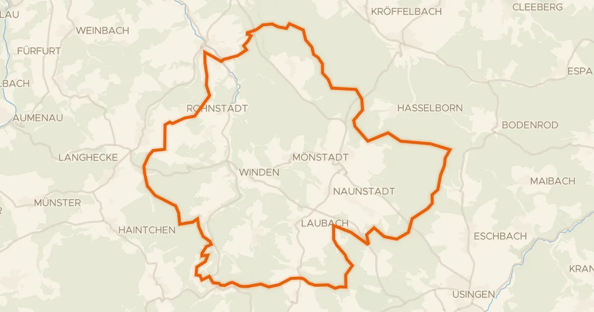
Gravel19% paved
Rondje Möttbachtal bei Weilmünster en Weil
57 km↑ 1,089 m14 km away
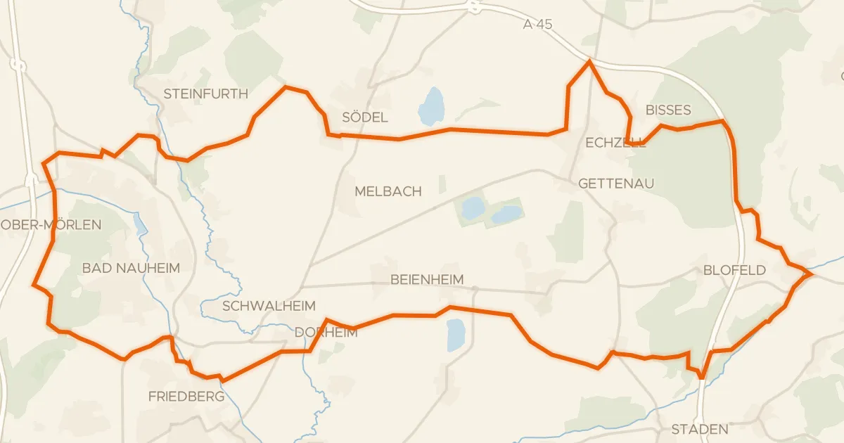
Gravel58% paved
Rondje Adolfsturm en Nachtweid von Dauernheim
61 km↑ 471 m20 km away
Gravel20% paved
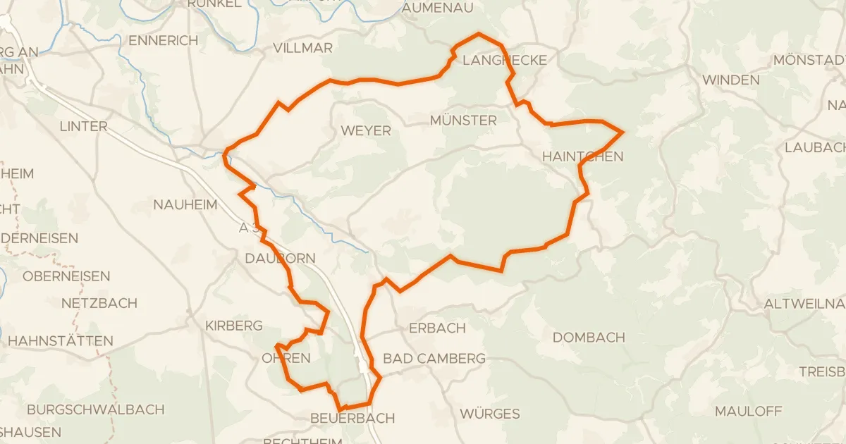
Rondje Wörsbachtal en Bleidenberg bei Niederbrechen
57 km↑ 1,060 m22 km away
Gravel46% paved
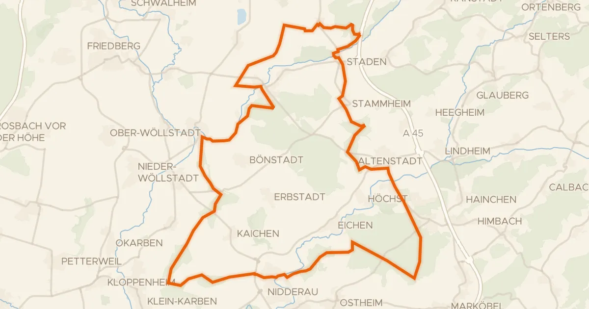
Rondje Schloß Assenheim en Nidder
62 km↑ 593 m22 km away