Back to the librarykm 13 · Jul 2025 · © thetornado76 / Mapillary, CC BY-SA km 25 · Jun 2025 · © akinogermany / Mapillary, CC BY-SA km 55 · May 2021 · © grinninghamster / Mapillary, CC BY-SA km 90 · Feb 2025 · © akinogermany / Mapillary, CC BY-SA km 0–3km 4–5km 9–18km 25–28km 45–46km 47–48km 62–67
Road bikeRouteCasterRound trip
Rondje Schloss Herborn en Die Struth von Bottenhorn
Distance
92 km
Ascent
1,583 m
Highest point
610 m
99% paved
Start from your location
Ride there from home: we find the shortest way to the loop and start the loop from there.
The ride
Roll out of Haiger and let the ride unfold: past the nature reserve at Lixfeld, on through the Strickshute von Frechenhausen and Die Struth von Bottenhorn, then the Weißehöll bei Niederscheld. From the Gleichenhäuschen viewpoint it's on to Schloss Herborn, a castle worth the pause. With 1583 m of climbing across 91.6 km, mostly paved, you roll back into Haiger having linked four reserves, a viewpoint and a castle.
Along the way
Climbs
Climb 1Cat. 4
2.3 km at 6% · max 21.7%
Climb 2Hill
1 km at 7.5% · max 11.4%
Climb 3Cat. 2
9.8 km at 3.3% · max 16.1%
Climb 4Cat. 4
2.4 km at 5.4% · max 15.3%
Climb 5Hill
1.2 km at 3.9% · max 7.9%
Climb 6Cat. 4
1.3 km at 6.7% · max 11%
Climb 7Cat. 3
4.8 km at 3.7% · max 11.9%
Routes nearby
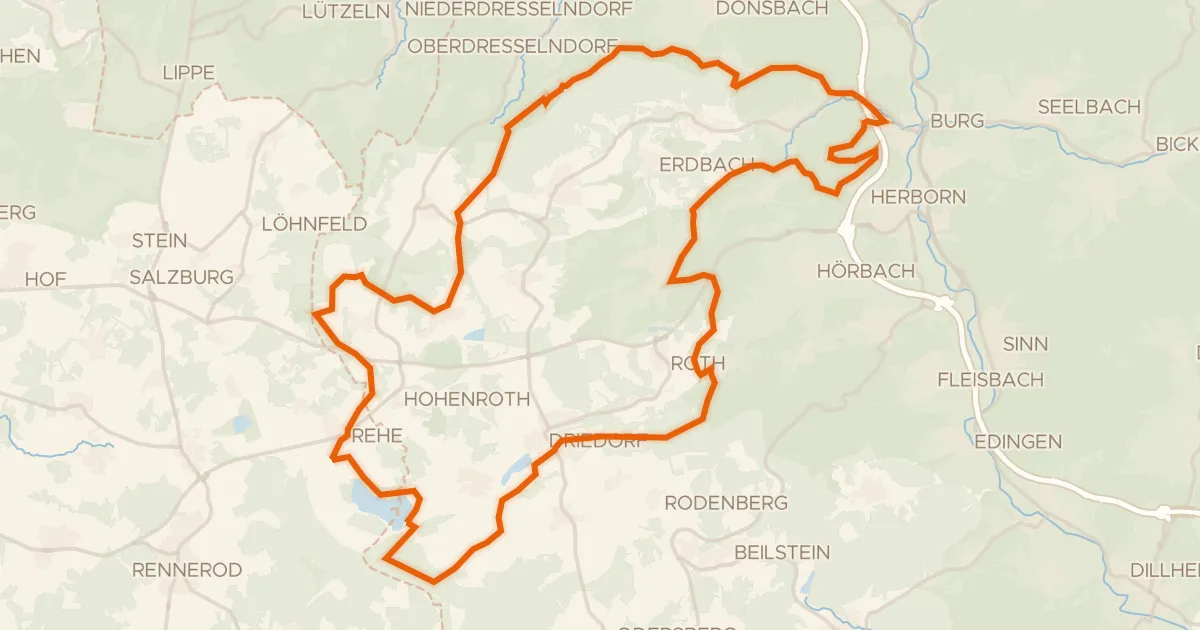
Gravel21% paved
Rondje Fuchskaute en Krombachtalsperre
59 km↑ 1,047 m9 km away
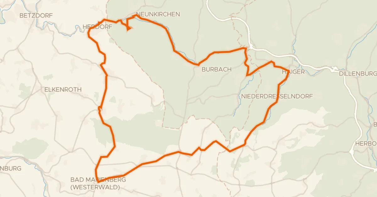
Road bike100% paved
Rondje Schloss Friedewald en Bacher Lay
69 km↑ 1,053 m10 km away
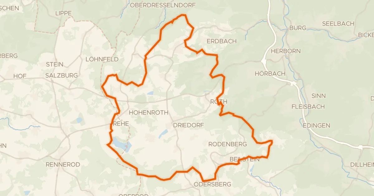
Gravel15% paved
Rondje Burg Greifenstein en Burg Lichtenstein
60 km↑ 985 m10 km away
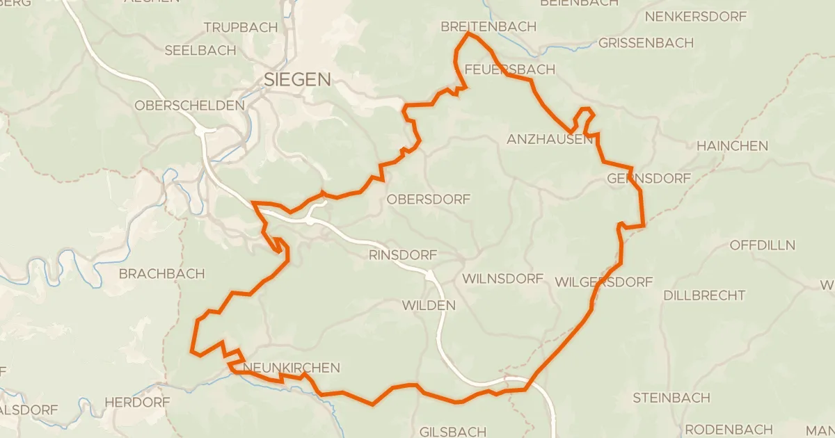
Gravel12% paved
Rondje Wassermühle Niederdielfen en Hellertalaue
64 km↑ 1,452 m13 km away
Gravel15% paved
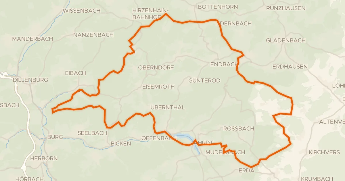
Rondje Burg Tringenstein en Aartalsperre bei Mudersbach
77 km↑ 1,820 m18 km away
Road bike98% paved
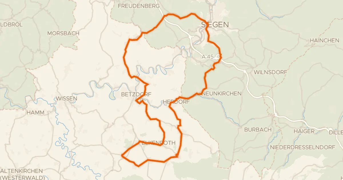
Rondje Schloss Friedewald en Rosenheimer Lay
82 km↑ 1,319 m19 km away