Back to the librarykm 15 · May 2025 · © slp_gho / Mapillary, CC BY-SA km 56 · Apr 2023 · © poxonline / Mapillary, CC BY-SA km 80 · Jan 2025 · © stili / Mapillary, CC BY-SA km 0–1km 16–20km 51–53km 63–67km 69–74km 79–80
Road bikeRouteCasterRound trip
Rondje Schloss Friedewald en Rosenheimer Lay
Distance
82 km
Ascent
1,319 m
Highest point
516 m
98% paved
Start from your location
Ride there from home: we find the shortest way to the loop and start the loop from there.
The ride
Roll out from Parkeerplaats Rosenheimer Lay and straight into the Rosenheimer Lay nature reserve, then on past Lindians Seifen and Weidenbruch. Through the Hofstätter Wald nature reserve the road climbs, all 1319 m of it, before Schloss Friedewald appears. Of the 81.6 km, almost all is paved, with a small unpaved share. Then it's back to where you started.
Along the way
Climbs
Climb 1Hill
1.3 km at 5.4% · max 8%
Climb 2Cat. 4
3.9 km at 3.9% · max 12.7%
Climb 3Cat. 4
1.7 km at 7.2% · max 15.4%
Climb 4Cat. 3
4 km at 4.8% · max 14.4%
Climb 5Cat. 3
5.4 km at 3.9% · max 11.4%
Climb 6Hill
1.3 km at 3.1% · max 6.1%
Routes nearby
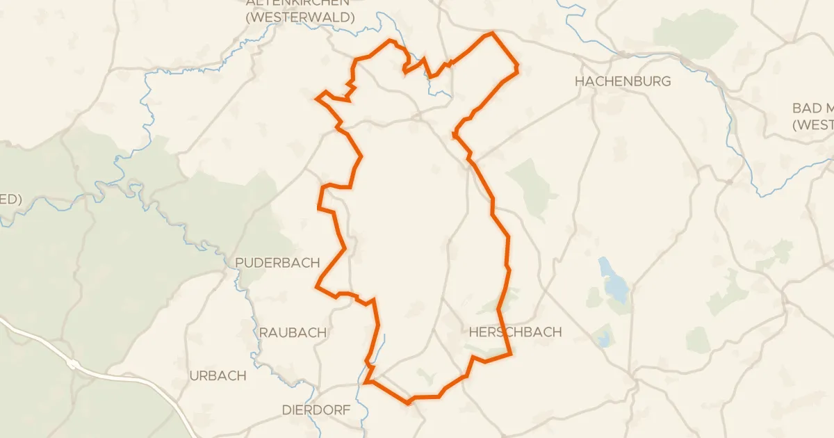
Gravel48% paved
Rondje Holzbachtal en Schimmelsbachtal
58 km↑ 722 m14 km away
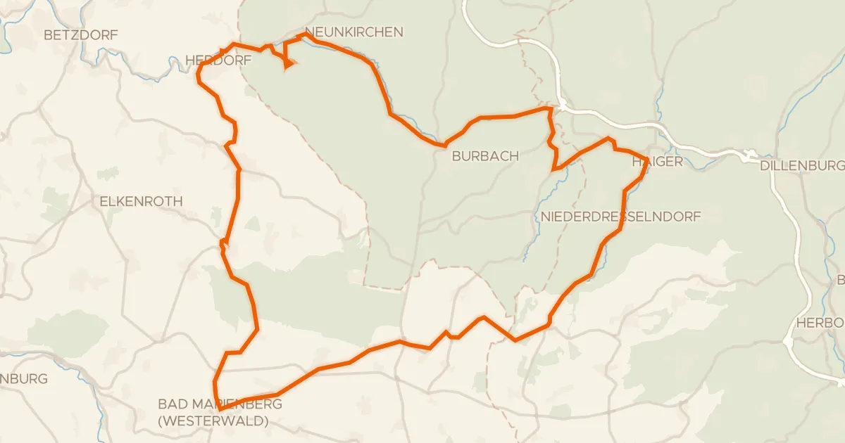
Road bike100% paved
Rondje Schloss Friedewald en Bacher Lay
69 km↑ 1,053 m16 km away
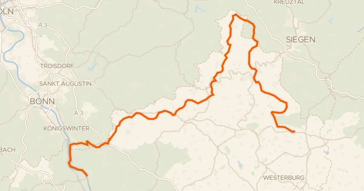
Touring94% paved
Westerwaldschleife
158 km↑ 2,543 m17 km away
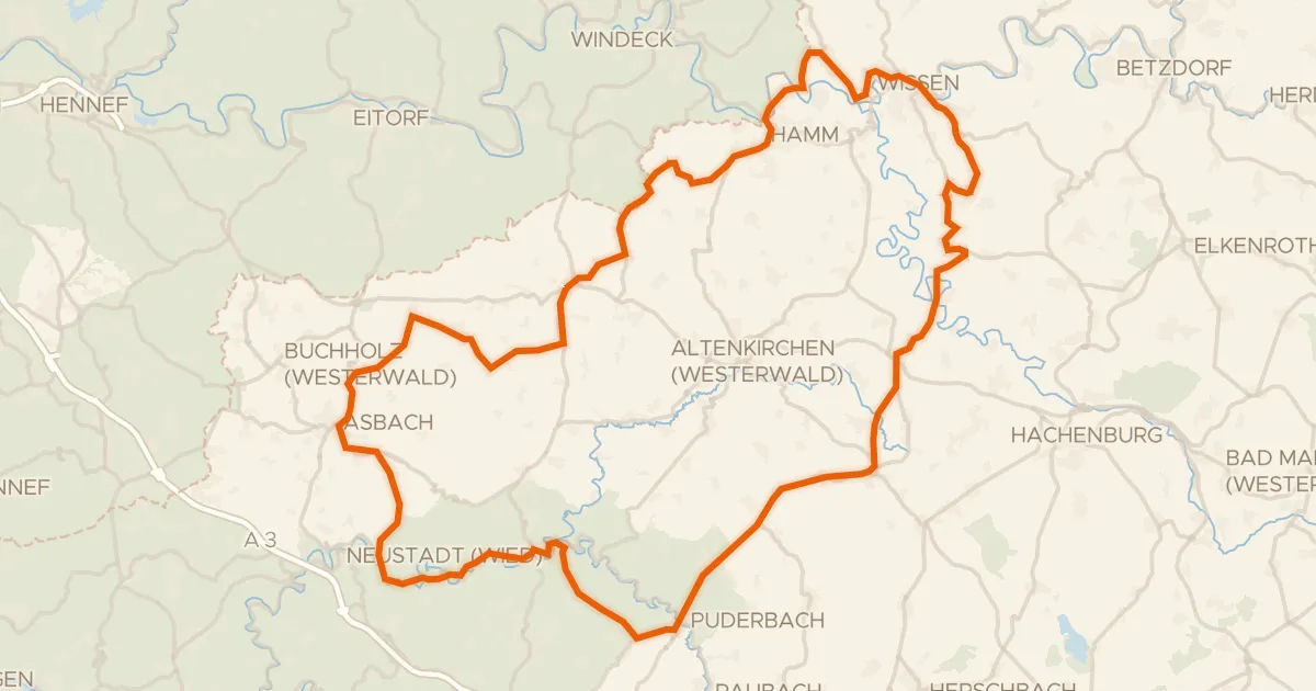
Road bike99% paved
Rondje Burg Lahr en Schloss Schönstein
100 km↑ 1,539 m18 km away
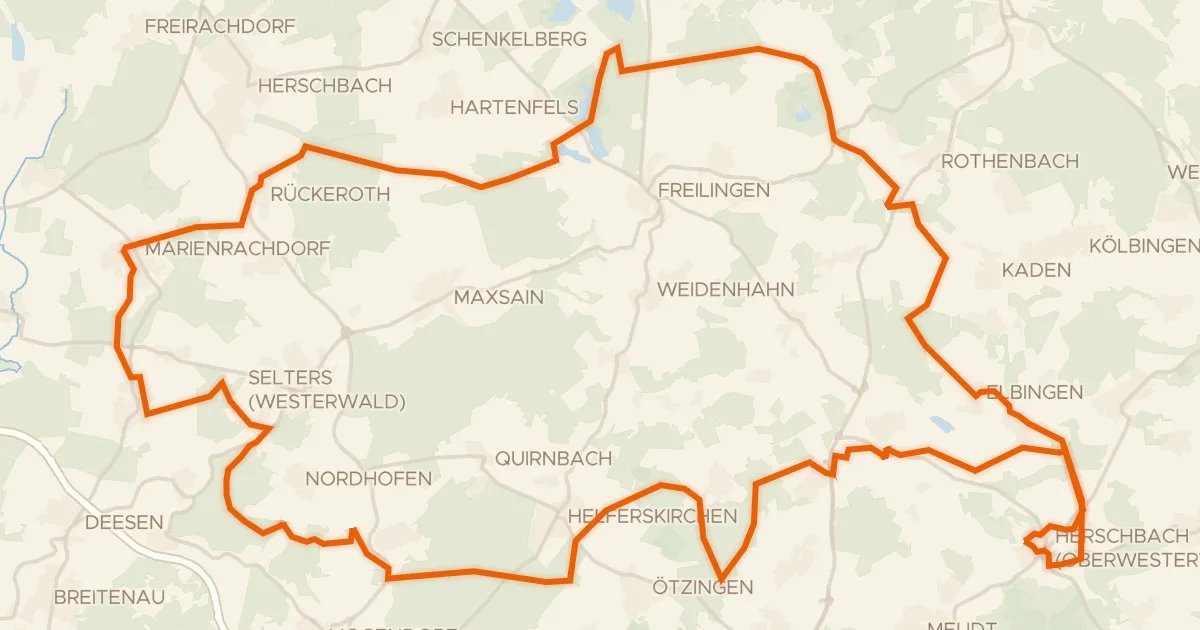
Gravel34% paved
Rondje Dreifelder Weiher en Wölferlinger Weiher
64 km↑ 740 m19 km away
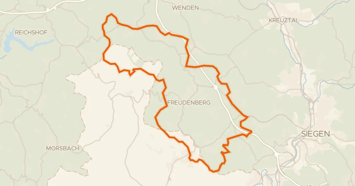
Gravel21% paved
Rondje Uebachtal en Plittersche
57 km↑ 1,232 m21 km away