Back to the librarykm 13 · Aug 2019 · © ede875 / Mapillary, CC BY-SA km 19 · Feb 2025 · © akinogermany / Mapillary, CC BY-SA km 48 · Jan 2025 · © koewimm / Mapillary, CC BY-SA km 45–48km 50–53km 58–61km 67–69
Road bikeRouteCasterRound trip
Rondje Schloss Friedewald en Bacher Lay
Distance
69 km
Ascent
1,053 m
Highest point
630 m
100% paved
Start from your location
Ride there from home: we find the shortest way to the loop and start the loop from there.
The ride
Roll out from Parkeerplaats Mahlscheid on a 69.1 km loop that stays entirely on paved roads. You pass the Wildweiberhäuschen nature reserve, then the Aubachtal bei Rabenscheid and Waldaubacher Hecke reserves, before the Bacher Lay reserve and Schloss Friedewald castle. With 1053 m of climbing along the way, the road keeps things interesting. Then it's back to where you started.
Along the way
Climbs
Climb 1Hill
2.3 km at 3.4% · max 8.8%
Climb 2Cat. 4
2.6 km at 3.3% · max 9.9%
Climb 3Cat. 4
2.3 km at 5.7% · max 13.8%
Climb 4Hill
1.5 km at 4% · max 7.4%
Routes nearby
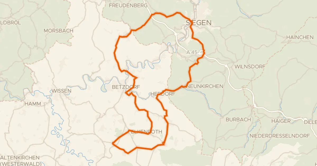
Road bike98% paved
Rondje Schloss Friedewald en Rosenheimer Lay
82 km↑ 1,319 m4 km away
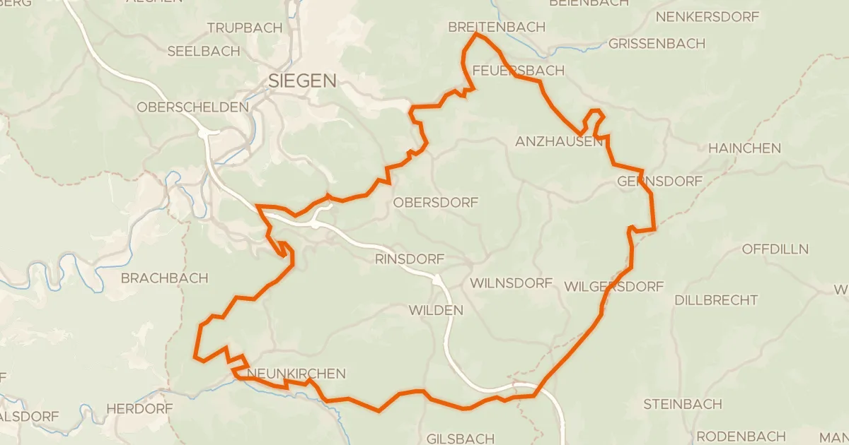
Gravel12% paved
Rondje Wassermühle Niederdielfen en Hellertalaue
64 km↑ 1,452 m9 km away
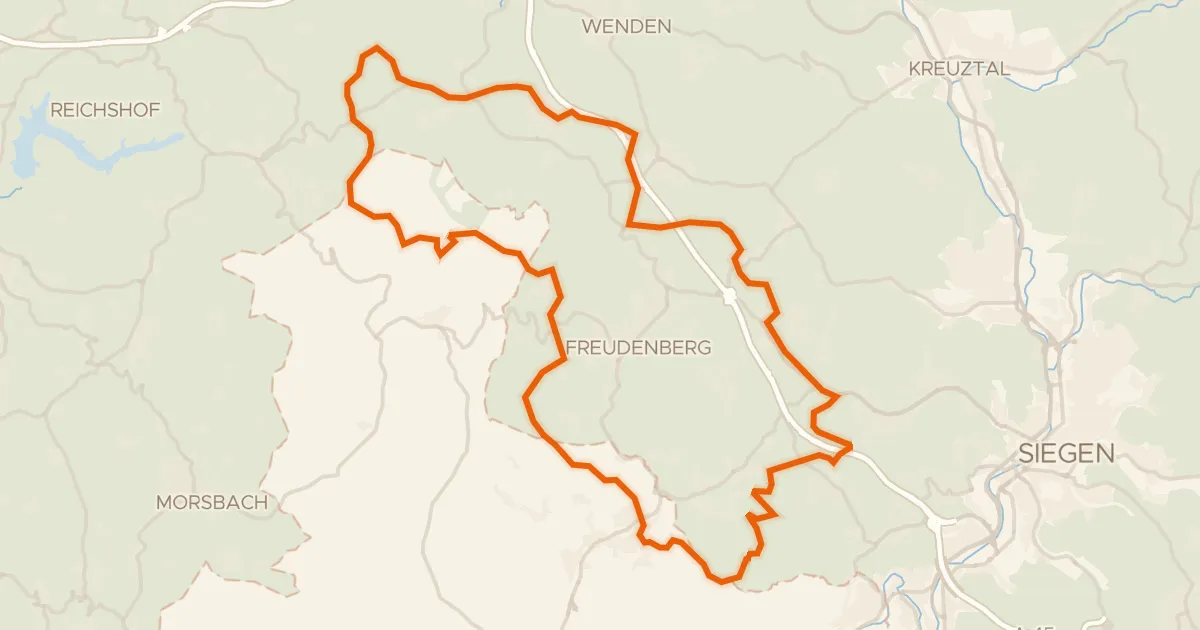
Gravel21% paved
Rondje Uebachtal en Plittersche
57 km↑ 1,232 m17 km away
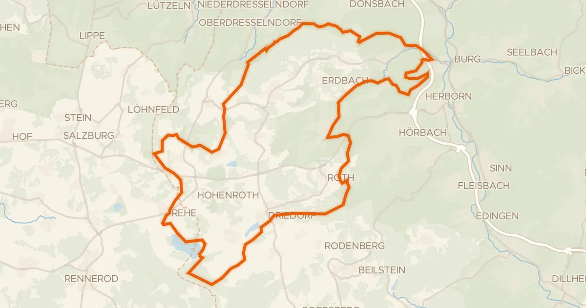
Gravel21% paved
Rondje Fuchskaute en Krombachtalsperre
59 km↑ 1,047 m20 km away
Gravel15% paved
Rondje Burg Greifenstein en Burg Lichtenstein
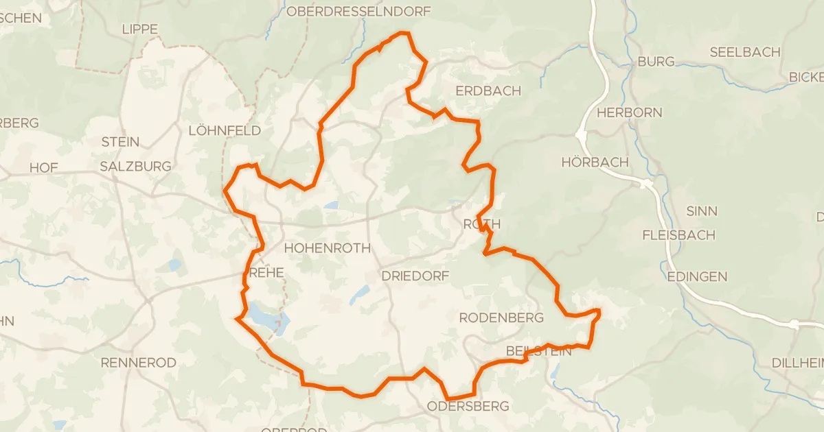
60 km↑ 985 m20 km away
Road bike98% paved
Rondje Schloss Westerburg en Schloss Molsberg
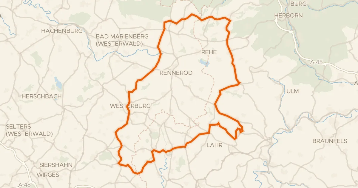
90 km↑ 1,413 m23 km away