Back to the librarykm 20 · Apr 2025 · © VIA_CH / Mapillary, CC BY-SA km 27 · Jan 2026 · © kalcaaro / Mapillary, CC BY-SA km 60 · Jan 2026 · © kalcaaro / Mapillary, CC BY-SA km 85 · Feb 2026 · © derEntwickler / Mapillary, CC BY-SA km 1–5km 11–12km 17–20km 35–36km 36–38km 50–55
Road bikeRouteCasterRound trip
Rondje Genovevaburg en Hochsimmer
Distance
87 km
Ascent
1,518 m
Highest point
527 m
100% paved
Start from your location
Ride there from home: we find the shortest way to the loop and start the loop from there.
The ride
Roll out of Mayen and let the route unfold: first past Genovevaburg castle, then on through the Hochsimmer, In der Burwies, Lehrenkopf and Dachsbusch nature reserves. The 86.8 km loop climbs 1518 m, with the Lydia-Turm viewpoint waiting along the way. Almost all of it is paved, so the wheels keep turning from start to finish back in Mayen.
Along the way
Climbs
Climb 1Cat. 3
4.6 km at 4.3% · max 10.9%
Climb 2Cat. 4
1.7 km at 6.5% · max 12.7%
Climb 3Cat. 4
2.6 km at 3.3% · max 8.2%
Climb 4Cat. 4
1.1 km at 7.5% · max 11.3%
Climb 5Cat. 4
2 km at 4.7% · max 11%
Climb 6Cat. 3
4.5 km at 4.1% · max 8.3%
Routes nearby
Road bike99% paved
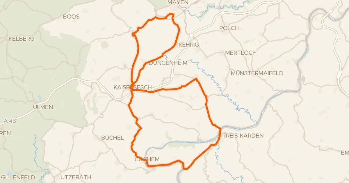
Rondje Löwenburg en Brauselay
75 km↑ 1,537 m11 km away
Touring84% paved
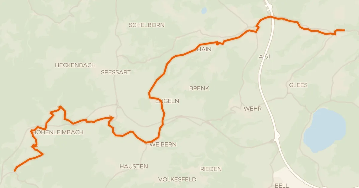
Brohltalradweg
30 km↑ 770 m12 km away
Gravel26% paved
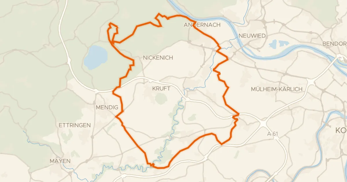
Rondje Karmelenberg en Namedyer Werth
65 km↑ 1,054 m12 km away
Gravel11% paved
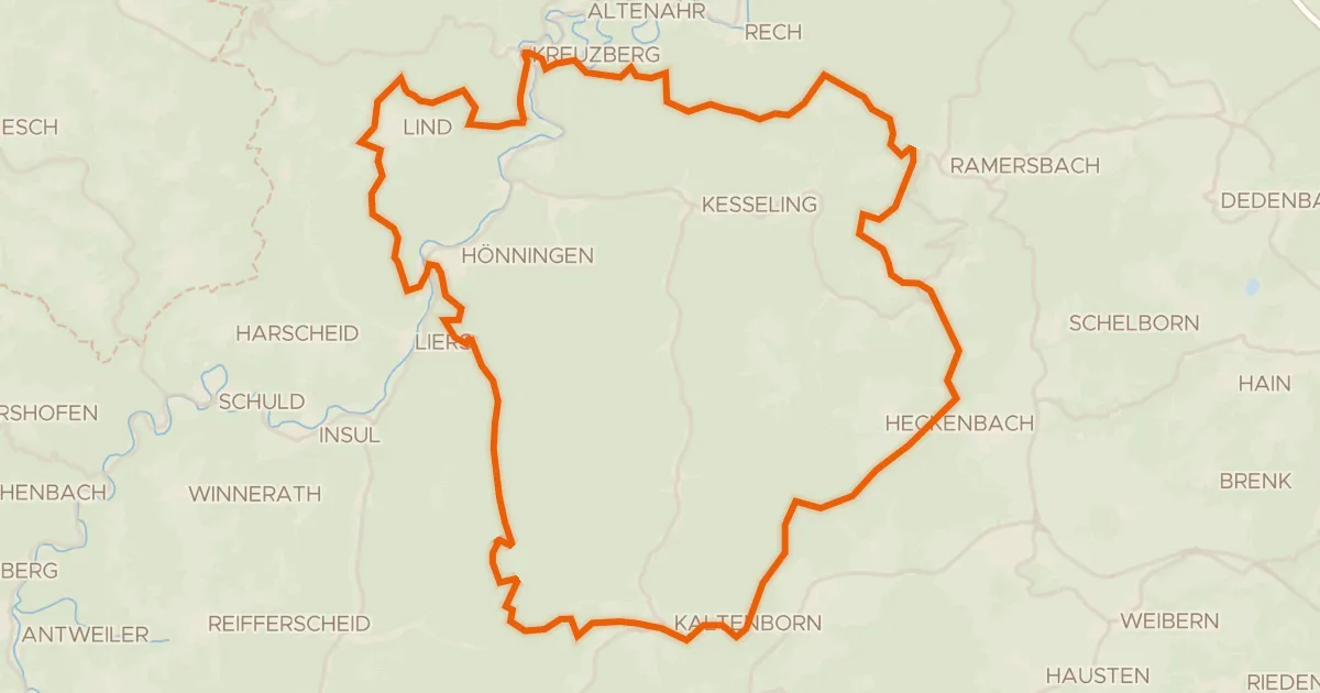
Rondje Burg Kreuzberg en Ahrschleife bei Altenahr
61 km↑ 1,833 m20 km away
Gravel14% paved
Rondje Nürburg en Hohe Acht
58 km↑ 1,551 m21 km away
Road bike99% paved
Rondje Burg Metternich en Brauselay
77 km↑ 1,279 m22 km away