Back to the librarykm 2 · Jun 2026 · © Lowiekse / Mapillary, CC BY-SA km 27 · Jun 2023 · © MichelleFritzSLP / Mapillary, CC BY-SA km 50 · Feb 2026 · © kalcaaro / Mapillary, CC BY-SA km 69 · Jan 2025 · © changchun1 / Mapillary, CC BY-SA km 7–10km 27–28km 32–36km 62–71
Road bikeRouteCasterRound trip
Rondje Burg Metternich en Brauselay
Distance
77 km
Ascent
1,279 m
Highest point
535 m
99% paved
Start from your location
Ride there from home: we find the shortest way to the loop and start the loop from there.
The ride
Roll out of Merl and straight into the Natur- und Geopark Vulkaneifel, then on through the Müllenbachtal - Kaulenbachtal. The Jünkernwald forest leads you to the Brauselay nature reserve before Burg Metternich's castle marks the way home. 76.8 km with 1279 m of climbing, almost all on paved surface.
Along the way
Climbs
Climb 1Cat. 4
2.9 km at 5% · max 34.3%
Climb 2Hill
1.1 km at 3.2% · max 9.1%
Climb 3Cat. 3
3.9 km at 4.7% · max 11%
Climb 4Cat. 2
9 km at 3.8% · max 19.5%
Routes nearby
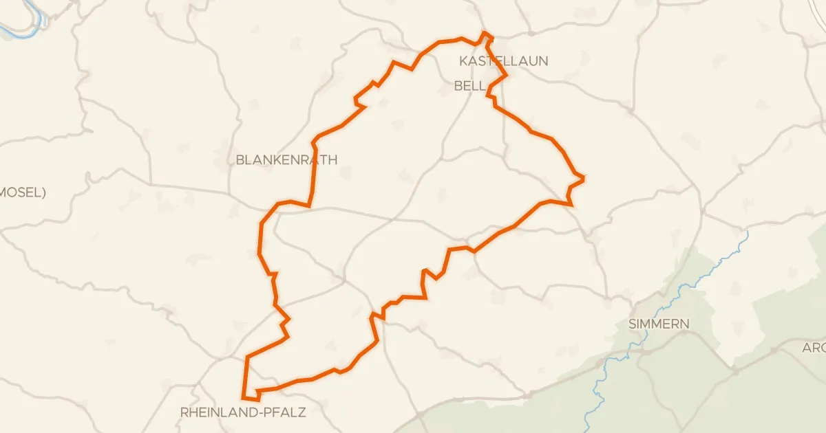
Gravel22% paved
Rondje Burg Kastellaun en Birkenstruth
60 km↑ 738 m16 km away
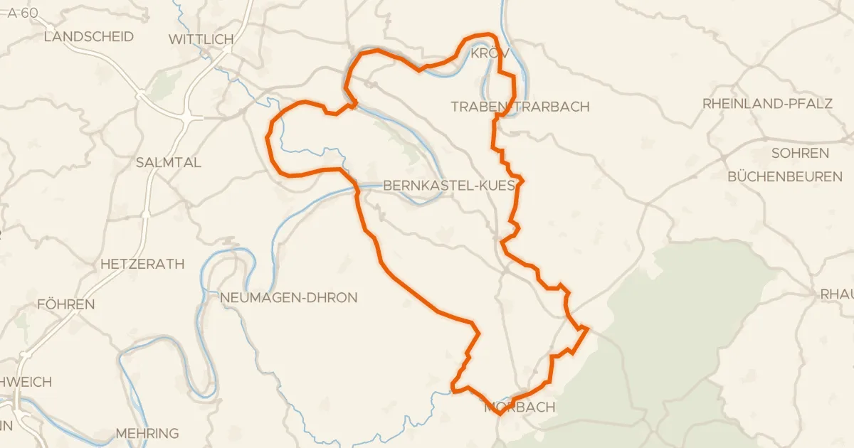
Road bike100% paved
Rondje Festung Mont Royal en Mosel
76 km↑ 1,310 m18 km away
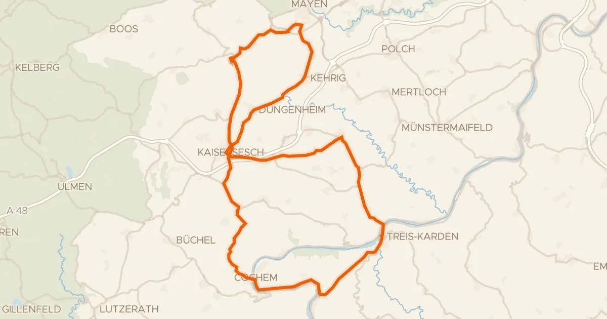
Road bike99% paved
Rondje Löwenburg en Brauselay
75 km↑ 1,537 m21 km away
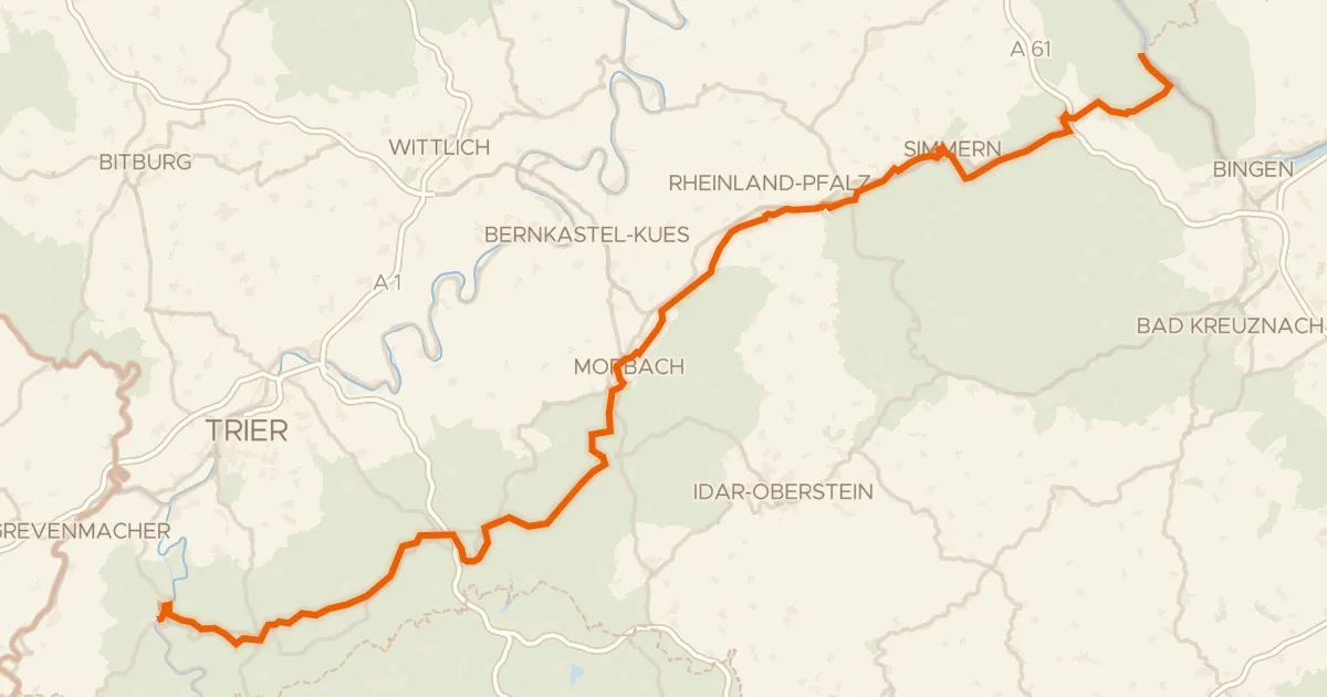
Touring88% paved
Hunsrück-Radweg
157 km↑ 1,930 m24 km away
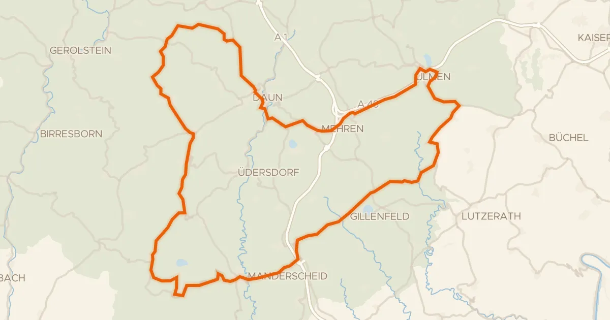
Road bike99% paved
Rondje Dauner Maare en Burg Daun
84 km↑ 1,599 m25 km away
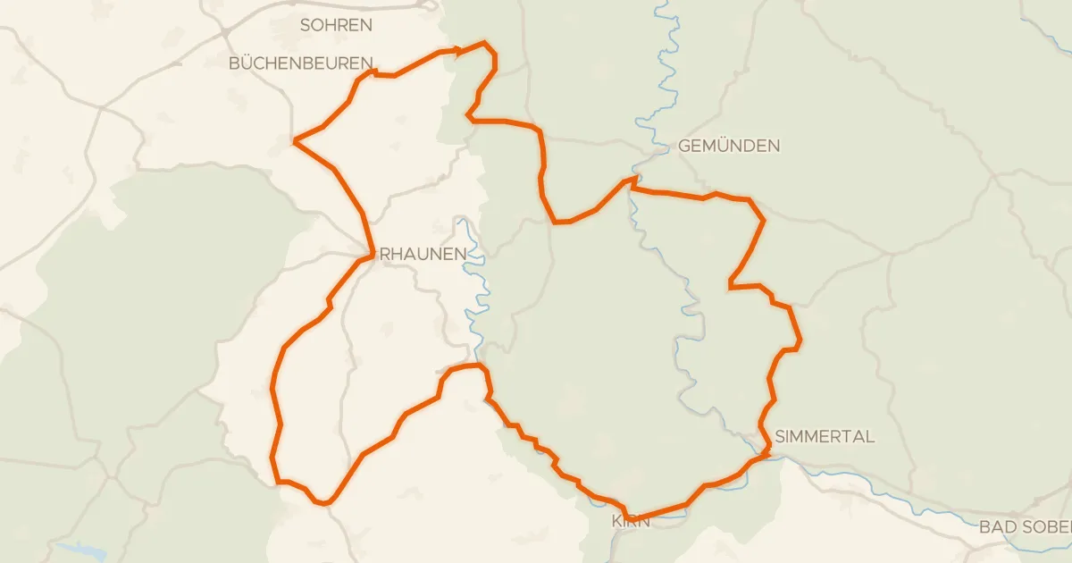
Road bike100% paved
Rondje langs Burg Kallenfels en Lützelsoon
75 km↑ 1,227 m27 km away