Back to the librarykm 2 · Jun 2025 · © Lowiekse / Mapillary, CC BY-SA km 30 · Nov 2025 · © ma_rt_in / Mapillary, CC BY-SA km 52 · Oct 2023 · © Lowiekse / Mapillary, CC BY-SA km 65 · Apr 2026 · © mp4321 / Mapillary, CC BY-SA km 0–2km 14–23km 32–33km 43–44km 58–64
Road bikeRouteCasterRound trip
Rondje Festung Mont Royal en Mosel
Distance
76 km
Ascent
1,310 m
Highest point
617 m
100% paved
Start from your location
Ride there from home: we find the shortest way to the loop and start the loop from there.
The ride
Roll out of Zeltingen-Rachtig and follow the Mosel river, then the Lieser, before the road climbs toward Festung Mont Royal, a fort above the valley. Higher still waits the Wolfer Kanzel, a viewpoint, and 1310 m of climbing spread over 75.7 km. The surface stays paved the whole way, and the loop brings you back to Zeltingen-Rachtig.
Along the way
Climbs
Climb 1Cat. 4
2.1 km at 5.6% · max 9.5%
Climb 2Cat. 2
9.6 km at 5.2% · max 23.2%
Climb 3Hill
1 km at 3.6% · max 6.1%
Climb 4Hill
1.2 km at 3.8% · max 8.7%
Climb 5Cat. 3
5.7 km at 3.5% · max 11.1%
Routes nearby
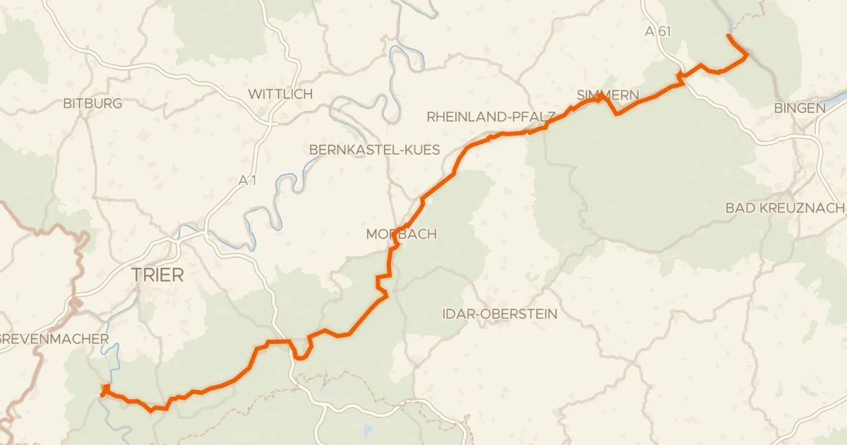
Touring88% paved
Hunsrück-Radweg
157 km↑ 1,930 m19 km away
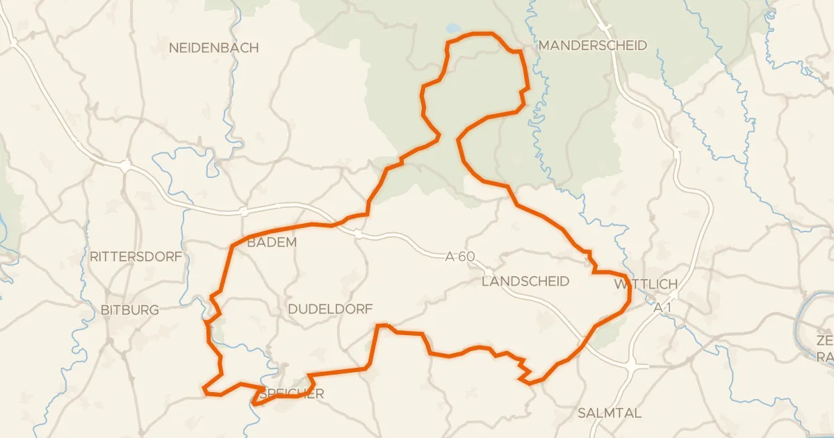
Road bike100% paved
Rondje Tongruben bei Binsfeld en Meerfelder Maar
90 km↑ 1,414 m21 km away
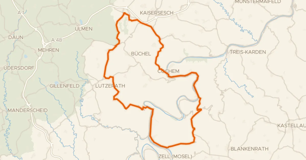
Road bike99% paved
Rondje Burg Metternich en Brauselay
77 km↑ 1,279 m22 km away
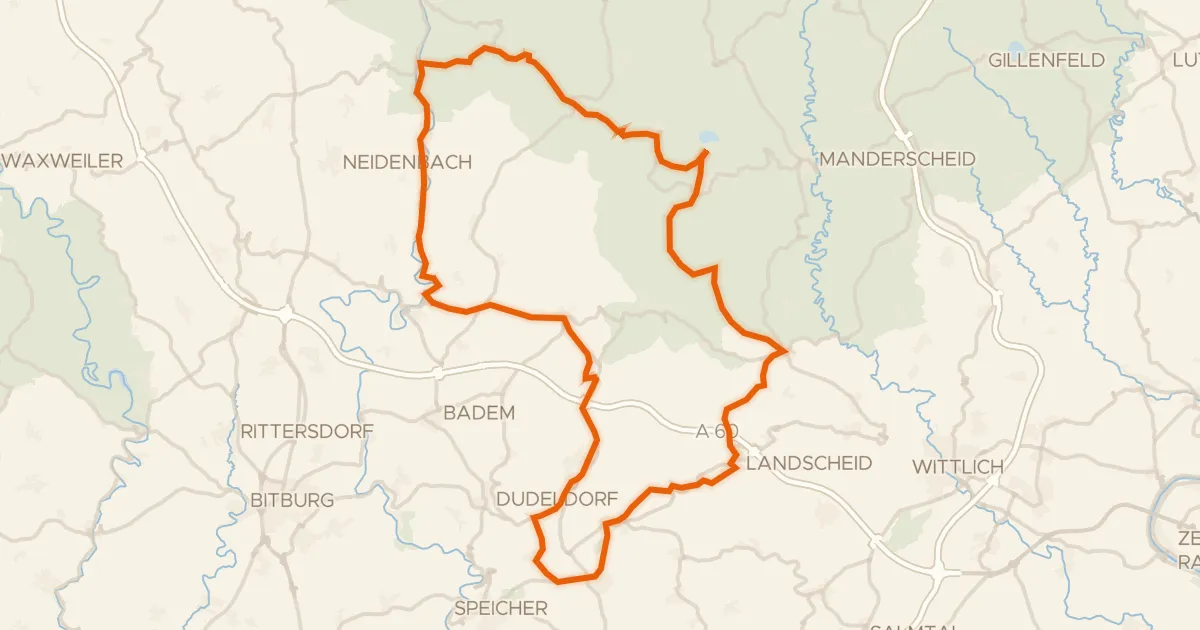
Road bike98% paved
Rondje Meerfelder Maar en Weiherwiese bei St. Thomas
76 km↑ 1,217 m24 km away
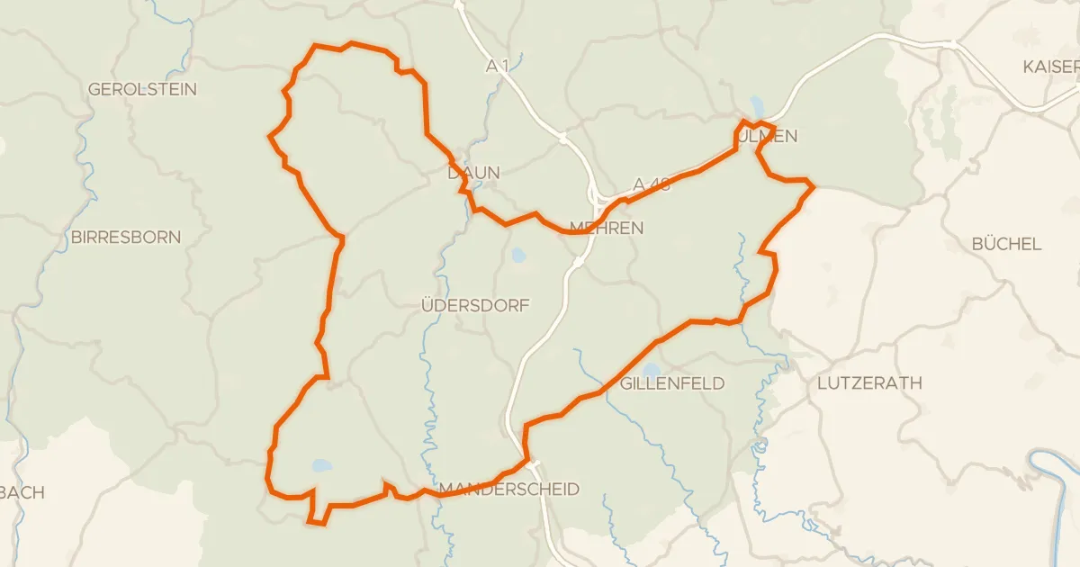
Road bike99% paved
Rondje Dauner Maare en Burg Daun
84 km↑ 1,599 m25 km away
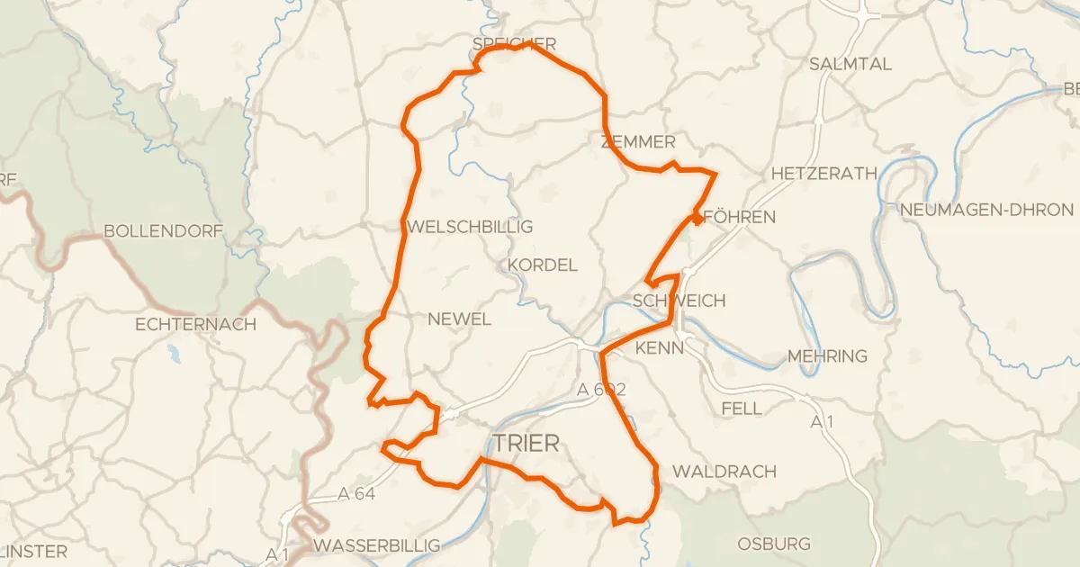
Road bike98% paved
Rondje Schloss Marienlay en Burg Welschbillig
93 km↑ 1,507 m28 km away