Back to the librarykm 2 · Oct 2026 · © Lowiekse / Mapillary, CC BY-SA km 41 · May 2023 · © ma_rt_in / Mapillary, CC BY-SA km 52 · Apr 2021 · © ma_rt_in / Mapillary, CC BY-SA km 87 · Apr 2025 · © ma_rt_in / Mapillary, CC BY-SA km 22–25km 34–39km 41–44km 45–45km 47–48km 50–52km 66–67km 73–76km 77–78
Road bikeRouteCasterRound trip
Rondje Schloss Marienlay en Burg Welschbillig
Distance
93 km
Ascent
1,507 m
Highest point
414 m
98% paved
Start from your location
Ride there from home: we find the shortest way to the loop and start the loop from there.
The ride
Roll out from Parkeerplaats Ried am Föhrenbach and straight into the Ried am Föhrenbach nature reserve, then on past the Kenner Flur reserve. Schloss Marienlay is your castle stop before the Kahlenberg am Sievenicherhof reserve, and further along comes Burg Welschbillig. With 93.3 km and 1507 m of climbing, mostly on paved surface, the Tongruben bei Speicher reserve leads you home.
Along the way
Climbs
Climb 1Cat. 3
3.5 km at 5.8% · max 18%
Climb 2Cat. 3
5.8 km at 4.1% · max 21.1%
Climb 3Cat. 4
3.1 km at 3.2% · max 12%
Climb 4Hill
0.8 km at 7.1% · max 10.2%
Climb 5Hill
1 km at 3.6% · max 6%
Climb 6Hill
1.8 km at 3.8% · max 14.8%
Climb 7Hill
0.7 km at 6.2% · max 10.8%
Climb 8Cat. 4
3.3 km at 4.6% · max 28.2%
Climb 9Hill
1.3 km at 3.4% · max 8.3%
Routes nearby
Road bike100% paved
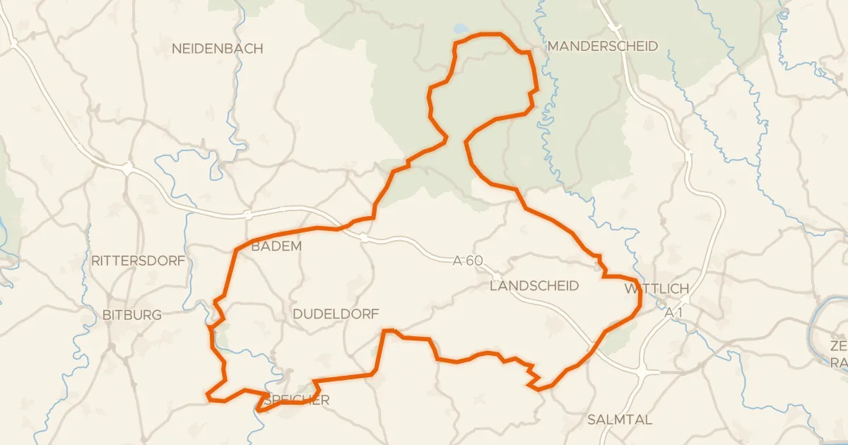
Rondje Tongruben bei Binsfeld en Meerfelder Maar
90 km↑ 1,414 m18 km away
Road bike98% paved
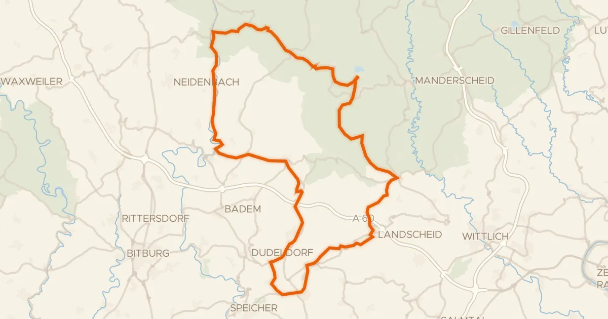
Rondje Meerfelder Maar en Weiherwiese bei St. Thomas
76 km↑ 1,217 m21 km away
Road bike100% paved
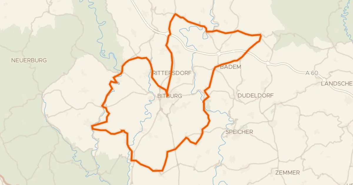
Rondje Schloss Malberg en Nims
83 km↑ 1,186 m21 km away
Road bike100% paved
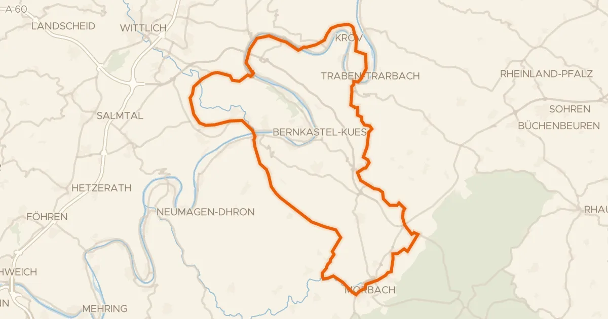
Rondje Festung Mont Royal en Mosel
76 km↑ 1,310 m21 km away
Gravel63% paved
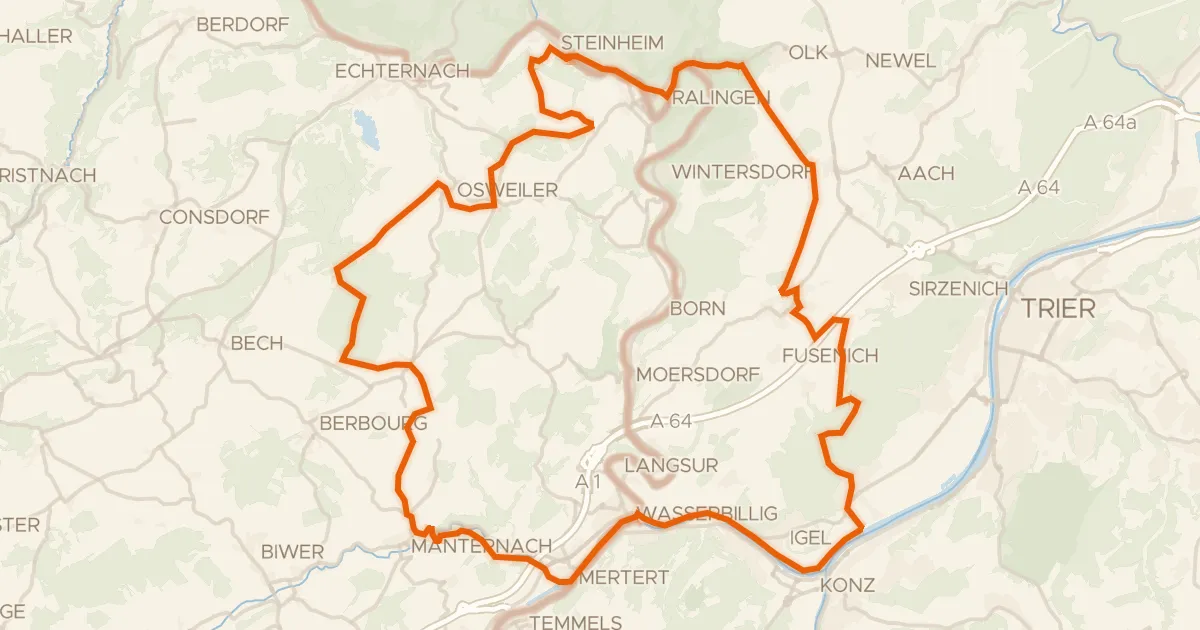
Rondje Kiesgrube bei Oberkirch en Saar
65 km↑ 1,148 m23 km away
Gravel51% paved
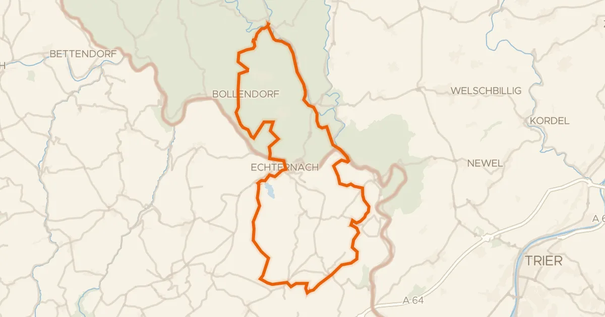
Rondje Schloß Weilerbach en Schloss Holsthum
61 km↑ 1,288 m24 km away