Back to the librarykm 35 · Feb 2020 · © sarant / Mapillary, CC BY-SA km 7–9km 11–15km 17–19km 21–22km 22–24km 27–29km 35–36km 44–46km 50–54
GravelRouteCasterRound trip
Rondje Schloß Weilerbach en Schloss Holsthum
Distance
61 km
Ascent
1,288 m
Highest point
416 m
51% paved
Start from your location
Ride there from home: we find the shortest way to the loop and start the loop from there.
The ride
From Parkeerplaats Obig den Scharren bei Pfeffingen you roll out past the manor of Schloss Holsthum, then follow the Prüm, the Enz and the Sauer - Sûre. The route runs 61.2 km, split roughly evenly between paved and unpaved, and climbs 1288 m along the way. You pass the Kelterdell und Kuckuckslay bei Echternachbrück nature reserve and Schloß Weilerbach castle before returning to the start.
Along the way
Climbs
Climb 1Cat. 4
2.4 km at 4.9% · max 11.6%
Climb 2Cat. 3
4.1 km at 5.1% · max 24.7%
Climb 3Cat. 4
2.4 km at 3.8% · max 12.7%
Climb 4Hill
0.9 km at 5.1% · max 12.8%
Climb 5Hill
1.2 km at 5.9% · max 14%
Climb 6Hill
1.4 km at 4.6% · max 13.6%
Climb 7Hill
0.9 km at 4.5% · max 8.4%
Climb 8Cat. 3
2 km at 8.8% · max 23%
Climb 9Cat. 4
3.1 km at 4.8% · max 18.7%
Routes nearby
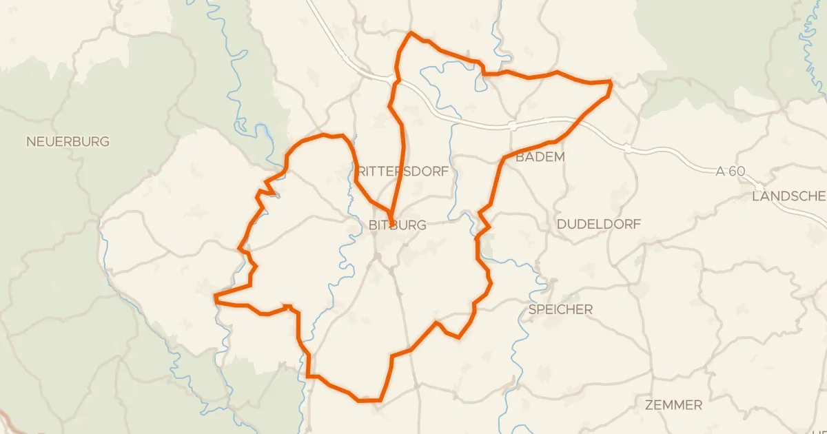
Road bike100% paved
Rondje Schloss Malberg en Nims
83 km↑ 1,186 m13 km away
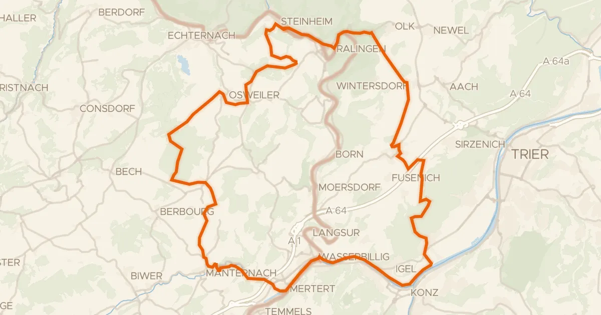
Gravel63% paved
Rondje Kiesgrube bei Oberkirch en Saar
65 km↑ 1,148 m16 km away
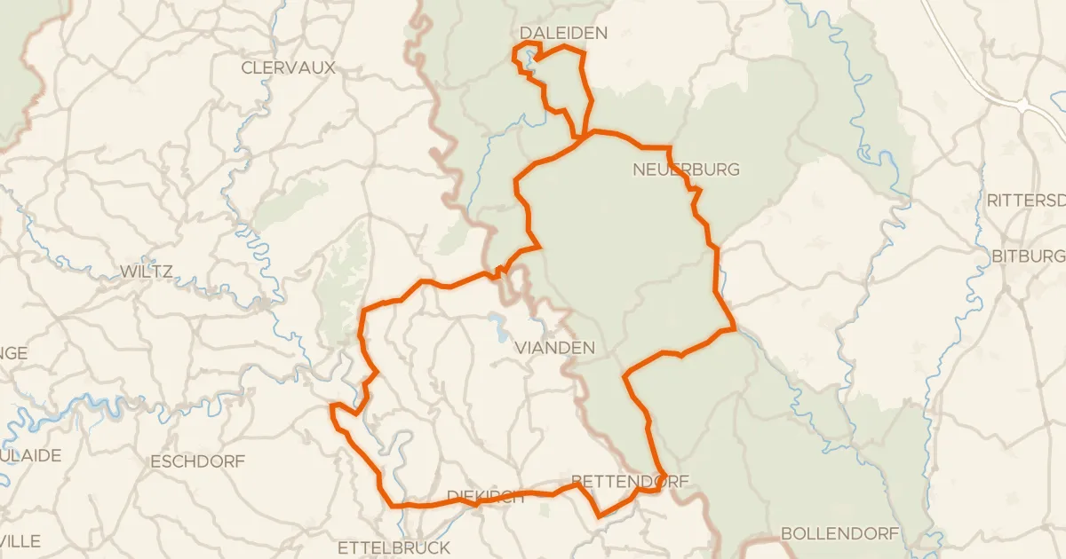
Road bike99% paved
Rondje Buerg Stolzebuerg en Ourschleife/Falkenstein
99 km↑ 1,964 m17 km away
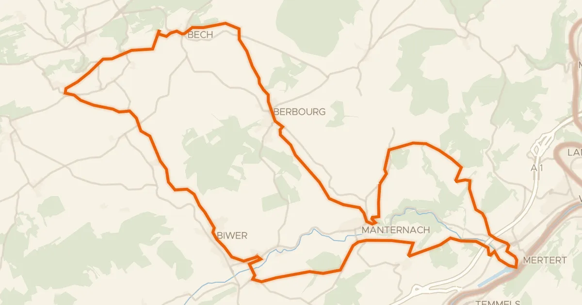
Road bike100% paved
Velo Pomarium
40 km↑ 705 m19 km away
Road bike98% paved
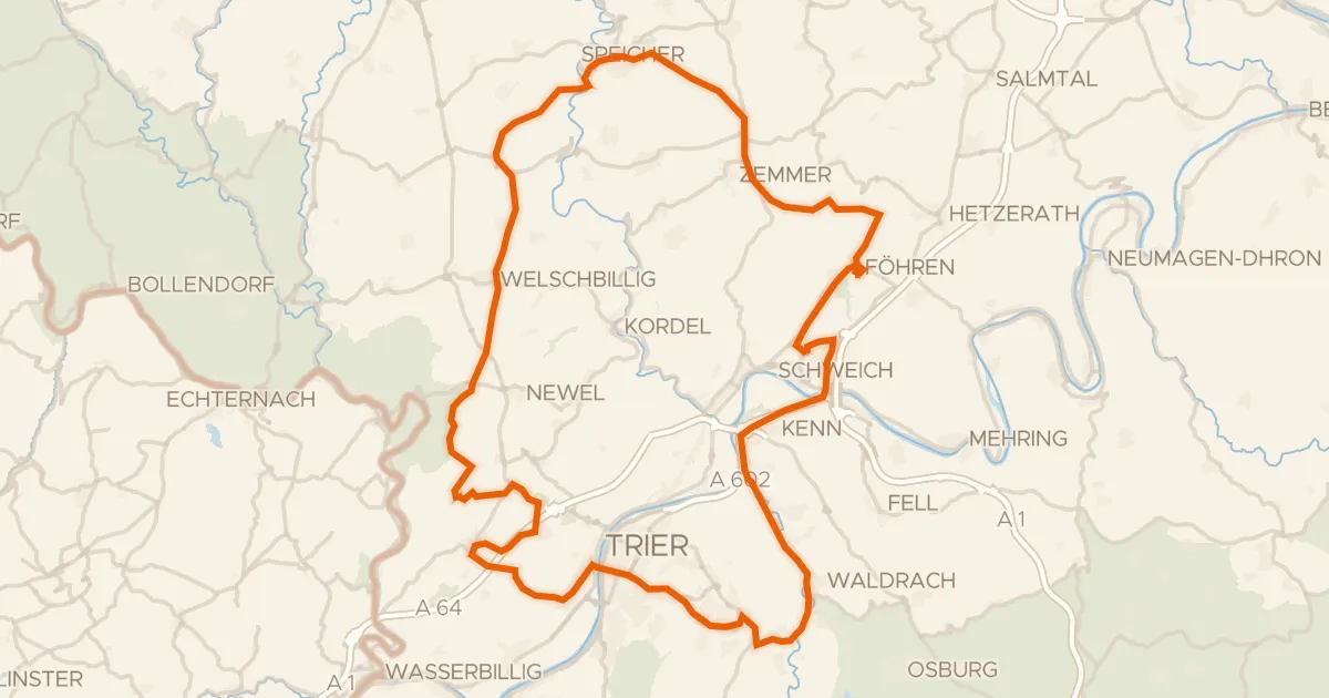
Rondje Schloss Marienlay en Burg Welschbillig
93 km↑ 1,507 m19 km away
Gravel34% paved
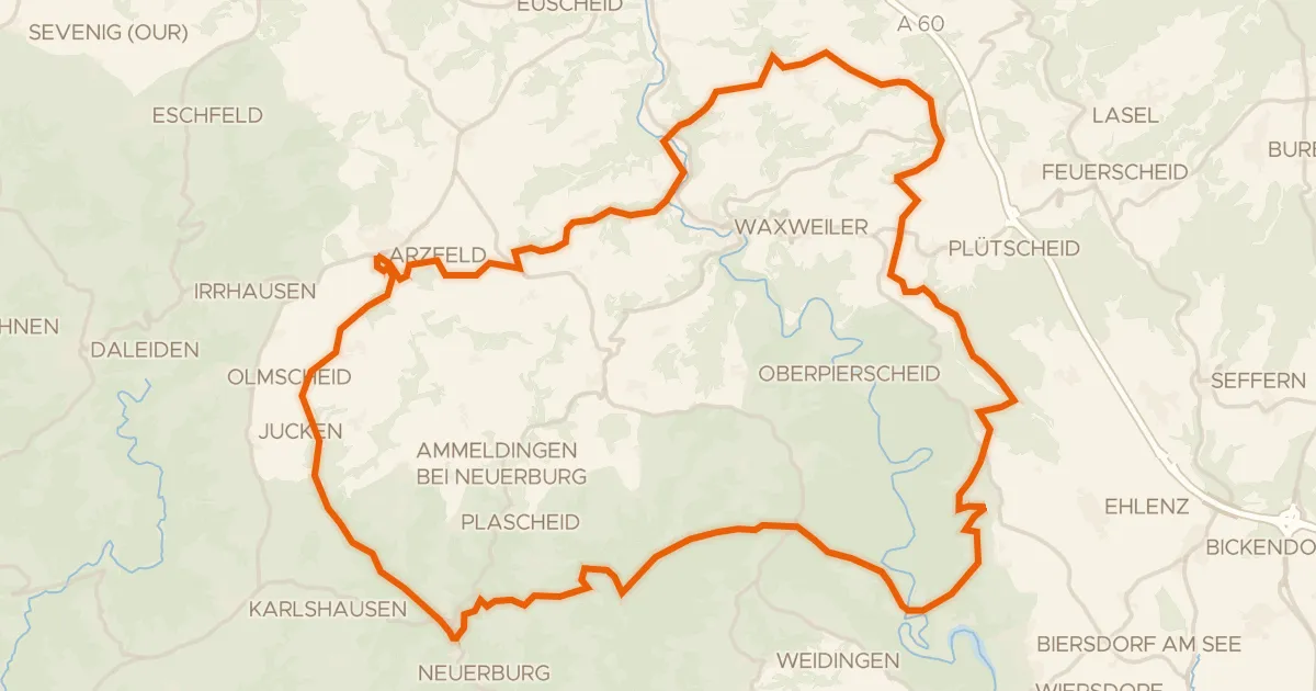
Rondje Urprümschleife bei Echtershausen en Prüm
60 km↑ 1,307 m20 km away