Back to the librarykm 19 · Oct 2023 · © VIA_CH / Mapillary, CC BY-SA km 23 · Oct 2023 · © VIA_CH / Mapillary, CC BY-SA km 75 · Aug 2026 · © mprins / Mapillary, CC BY-SA km 15–21km 23–23km 35–37km 62–64km 71–72km 73–76
Road bikeRouteCasterRound trip
Rondje Schloss Malberg en Nims
Distance
83 km
Ascent
1,186 m
Highest point
449 m
100% paved
Start from your location
Ride there from home: we find the shortest way to the loop and start the loop from there.
The ride
Roll out of Bitburg and back again on a ride of 83.4 km with 1186 m of climbing. Soon you pass Schloss Malberg, a castle, before the route threads through the nature reserve In der Held bei Hüttingen and on to the Wingertsberg. Next come the Streuobstwiesen und Hecken am Münchensberg, another nature reserve, and then the Nims river. One percent of the surface is unpaved, the rest paved.
Along the way
Climbs
Climb 1Cat. 3
5.6 km at 3% · max 11.9%
Climb 2Hill
0.7 km at 3.9% · max 6.9%
Climb 3Cat. 4
2.2 km at 4.7% · max 15.5%
Climb 4Hill
2.5 km at 3.2% · max 14.9%
Climb 5Hill
0.7 km at 5.7% · max 12.3%
Climb 6Cat. 4
3 km at 3.5% · max 8.8%
Routes nearby
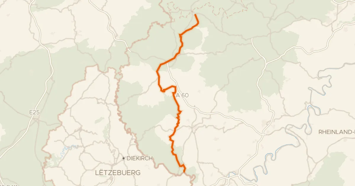
Road bike95% paved
Prümtal-Radweg
97 km↑ 1,176 m14 km away
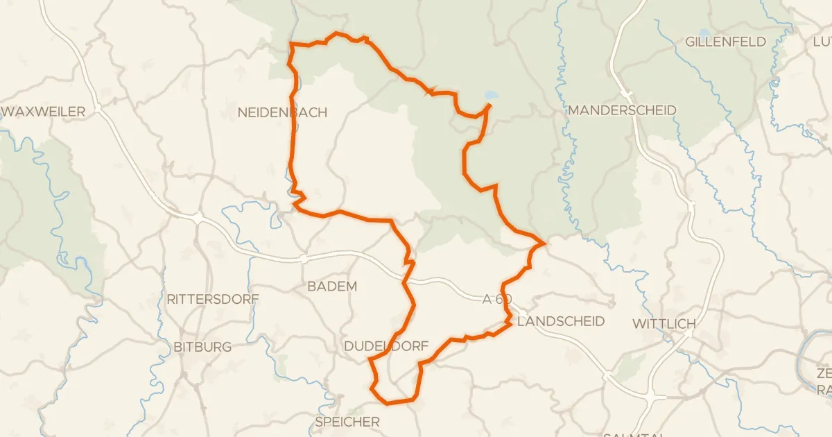
Road bike98% paved
Rondje Meerfelder Maar en Weiherwiese bei St. Thomas
76 km↑ 1,217 m14 km away
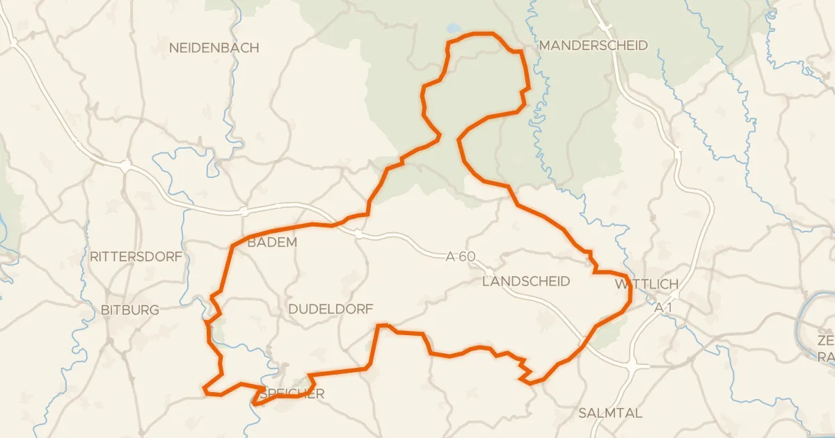
Road bike100% paved
Rondje Tongruben bei Binsfeld en Meerfelder Maar
90 km↑ 1,414 m16 km away
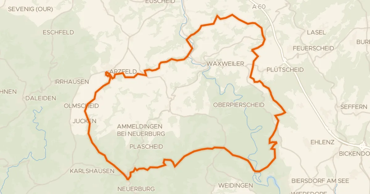
Gravel34% paved
Rondje Urprümschleife bei Echtershausen en Prüm
60 km↑ 1,307 m17 km away
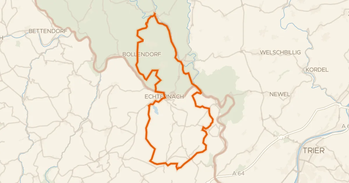
Gravel51% paved
Rondje Schloß Weilerbach en Schloss Holsthum
61 km↑ 1,288 m18 km away
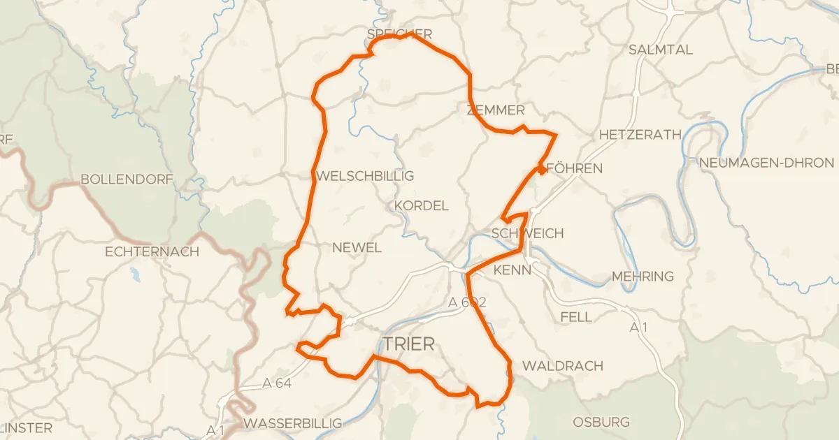
Road bike98% paved
Rondje Schloss Marienlay en Burg Welschbillig
93 km↑ 1,507 m19 km away