Back to the librarykm 12 · Apr 2020 · © ramap / Mapillary, CC BY-SA km 31 · Sep 2024 · © ber319 / Mapillary, CC BY-SA km 0–2km 5–7km 8–9km 41–42km 44–45km 57–57km 60–62km 64–65
GravelRouteCasterRound trip
Rondje Karmelenberg en Namedyer Werth
Distance
65 km
Ascent
1,054 m
Highest point
388 m
26% paved
Start from your location
Ride there from home: we find the shortest way to the loop and start the loop from there.
The ride
Roll out from Parkeerplaats Kurbüsch and let the ride unfold: 65.4 km with 1054 m of climbing, mostly unpaved. You pass through the Pöntertal nature reserve, by the Krayer Hof castle, then the Namedyer Werth nature reserve. On through the Himmeroder Hof manor and the Karmelenberg nature reserve before the Nettetal nature reserve leads you home.
Along the way
Climbs
Climb 1Hill
1.4 km at 3.9% · max 8.1%
Climb 2Cat. 4
1.7 km at 5.9% · max 25.9%
Climb 3Hill
0.7 km at 5.6% · max 12.5%
Climb 4Hill
0.5 km at 8.1% · max 12.7%
Climb 5Hill
0.8 km at 7% · max 16%
Climb 6Hill
0.8 km at 9.1% · max 14.6%
Climb 7Cat. 4
2.1 km at 5.3% · max 12.6%
Climb 8Hill
1.5 km at 4.3% · max 13.5%
Routes nearby
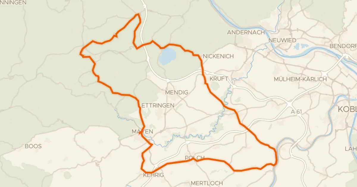
Road bike100% paved
Rondje Genovevaburg en Hochsimmer
87 km↑ 1,518 m7 km away
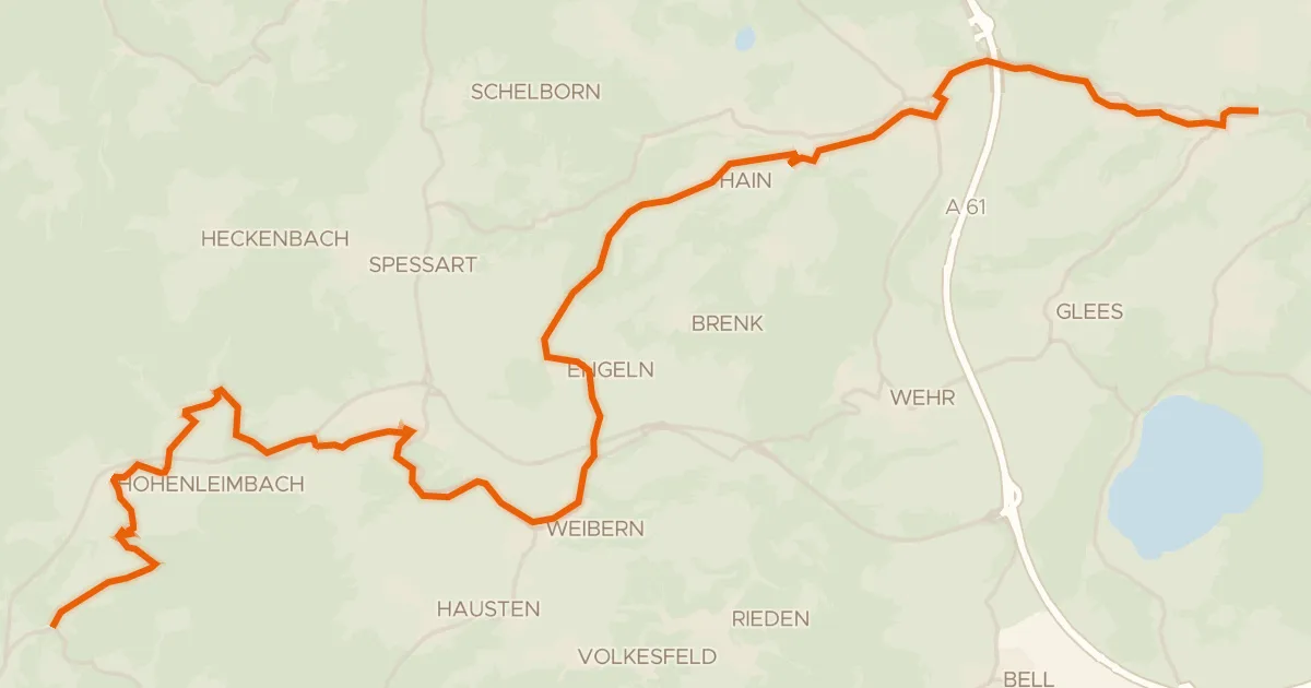
Touring84% paved
Brohltalradweg
30 km↑ 770 m9 km away
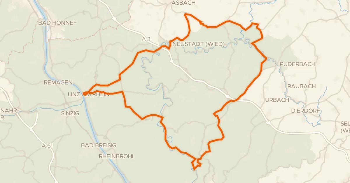
Road bike100% paved
Rondje Burg Linz en Burg Altenwied
88 km↑ 1,585 m18 km away
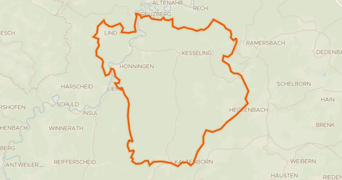
Gravel11% paved
Rondje Burg Kreuzberg en Ahrschleife bei Altenahr
61 km↑ 1,833 m20 km away
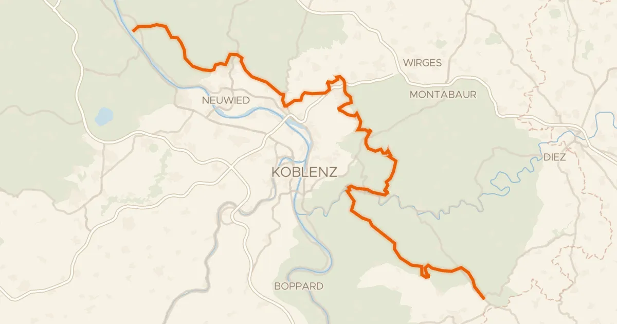
Touring80% paved
Deutscher Limes-Radweg 1. Abschnitt Bad Hönningen - Holzhausen
111 km↑ 2,327 m24 km away
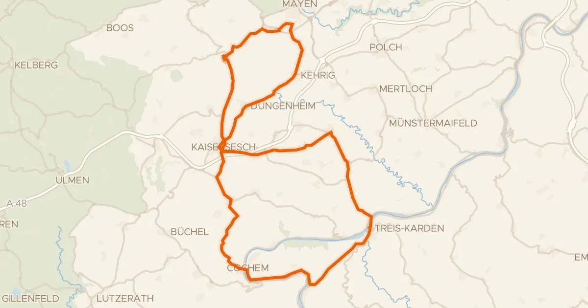
Road bike99% paved
Rondje Löwenburg en Brauselay
75 km↑ 1,537 m24 km away