Back to the librarykm 52 · Apr 2025 · © tordans / Mapillary, CC BY-SA km 1–2km 3–4km 11–12km 18–20
GravelRouteCasterRound trip
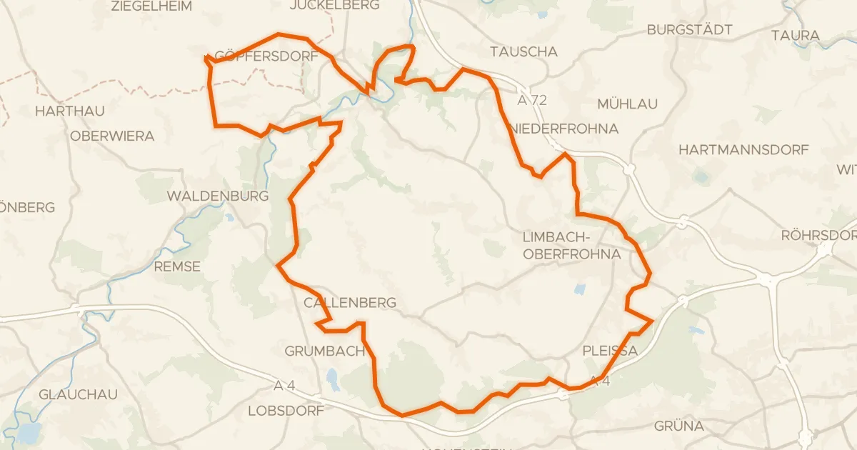
Rondje FFH Mittleres Zwickauer Muldetal en Zwickauer Mulde
Distance
60 km
Ascent
690 m
Highest point
344 m
52% paved
Start from your location
Ride there from home: we find the shortest way to the loop and start the loop from there.
The ride
Roll out of Wechselburg on a 60.5 km loop that keeps you guessing underfoot. You pass through FFH Mittleres Zwickauer Muldetal, a nature reserve, then follow the Zwickauer Mulde river and the Chemnitz river. With 690 m of climbing and a surface split between paved and unpaved, the ride rolls home to Wechselburg.
Along the way
Climbs
Climb 1Cat. 4
1.7 km at 4.8% · max 15.9%
Climb 2Hill
1 km at 4.2% · max 9.5%
Climb 3Hill
0.5 km at 5.6% · max 12.8%
Climb 4Hill
1.6 km at 3.7% · max 8.1%
Routes nearby
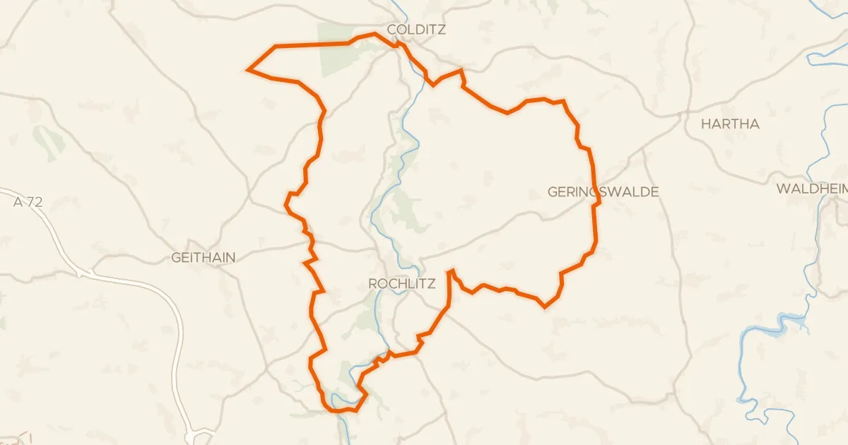
Gravel62% paved
Rondje Kohlbachtal en Zwickauer Mulde
61 km↑ 940 m7 km away
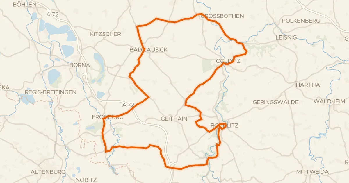
Road bike99% paved
Rondje langs Schloss Rochlitz en Burg Gnandstein
99 km↑ 947 m11 km away

Road bike100% paved
Rondje Halbes Schloss en Eschefelder Teiche
63 km↑ 460 m12 km away
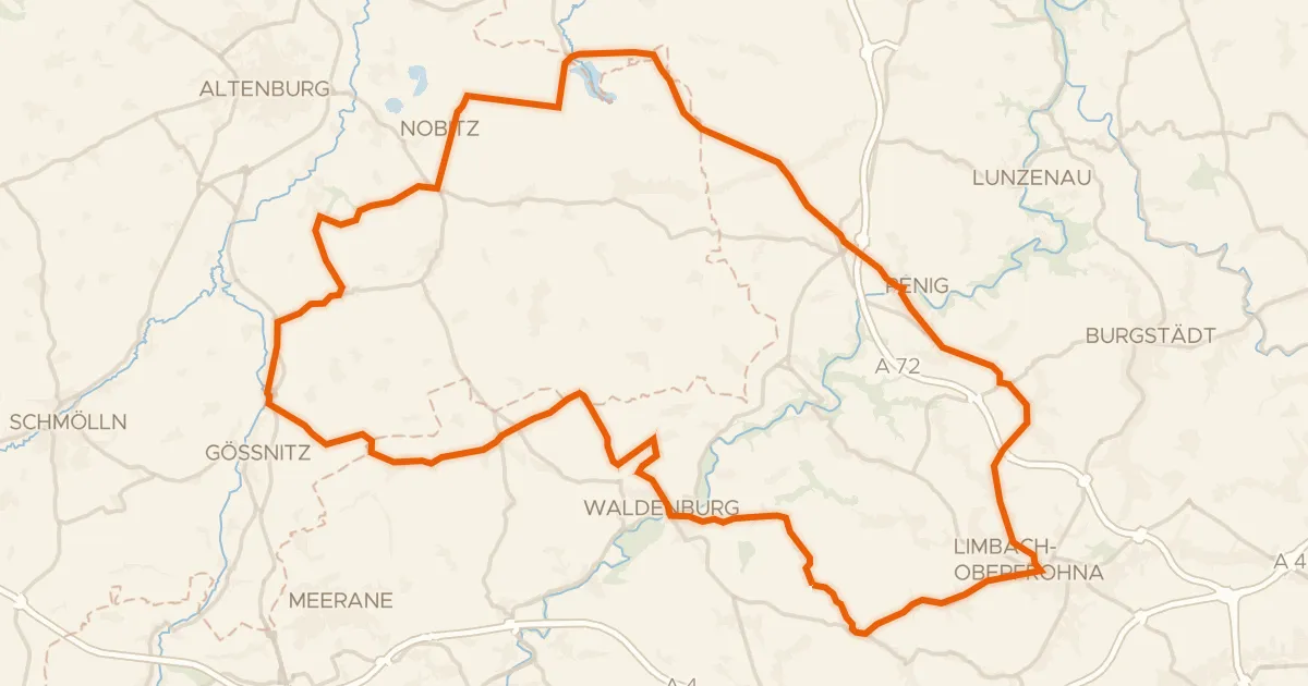
Road bike99% paved
Rondje Schloss Waldenburg en Zwickauer Mulde
77 km↑ 721 m15 km away
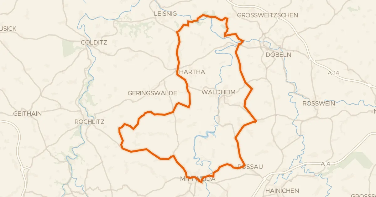
Road bike100% paved
Rondje Schloss Schweta en Zschopau
76 km↑ 861 m16 km away
Gravel39% paved
Rondje Ruine Zinnberg en Schloss Wolkenburg
62 km↑ 742 m16 km away