Back to the librarykm 18 · May 2019 · © bejotel / Mapillary, CC BY-SA km 37 · May 2026 · © canislupus / Mapillary, CC BY-SA km 47 · Sep 2024 · © poxonline / Mapillary, CC BY-SA km 63 · Nov 2025 · © AR88 / Mapillary, CC BY-SA km 3–4
Road bikeRouteCasterRound trip
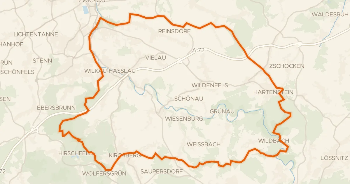
Rondje Schloss Waldenburg en Zwickauer Mulde
Distance
77 km
Ascent
721 m
Highest point
388 m
99% paved
Start from your location
Ride there from home: we find the shortest way to the loop and start the loop from there.
The ride
This 77.3 km loop rolls out of Langenchursdorf and back again, climbing 721 m along the way. You pass through the FFH Mittleres Zwickauer Muldetal nature reserve, then Schloss Waldenburg castle, before the Fasanerieholz nature reserve. The Wyhra and the Zwickauer Mulde rivers follow, with 99% of the route paved and 1% unpaved.
Along the way
Climbs
Climb 1Hill
1.5 km at 4% · max 8.7%
Routes nearby
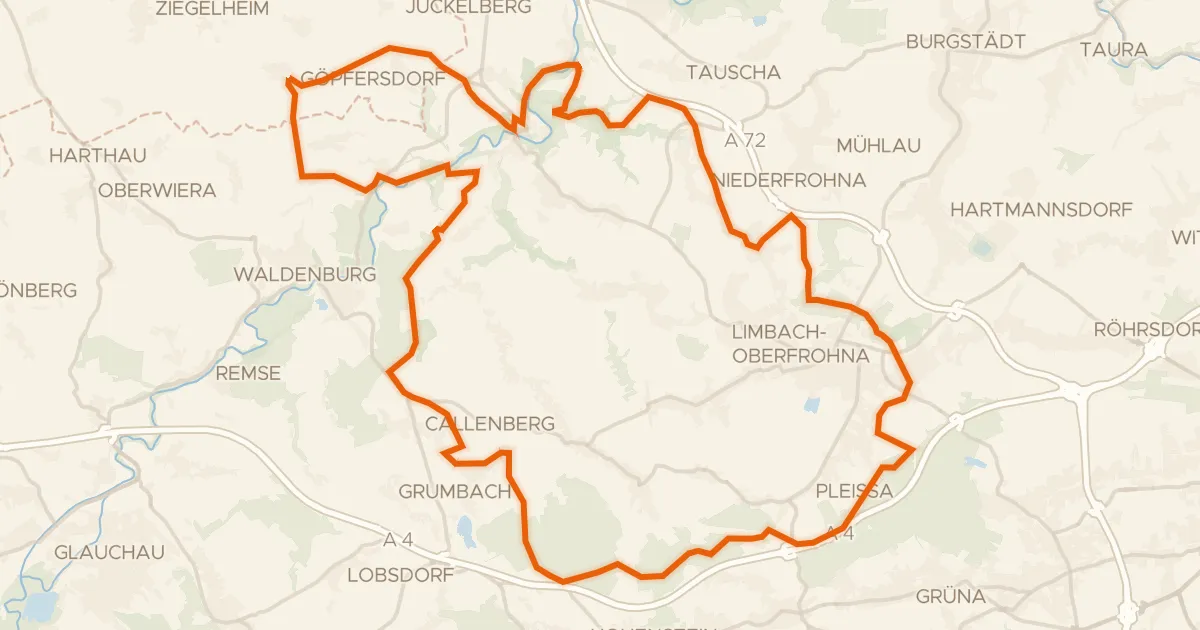
Gravel39% paved
Rondje Ruine Zinnberg en Schloss Wolkenburg
62 km↑ 742 m2 km away
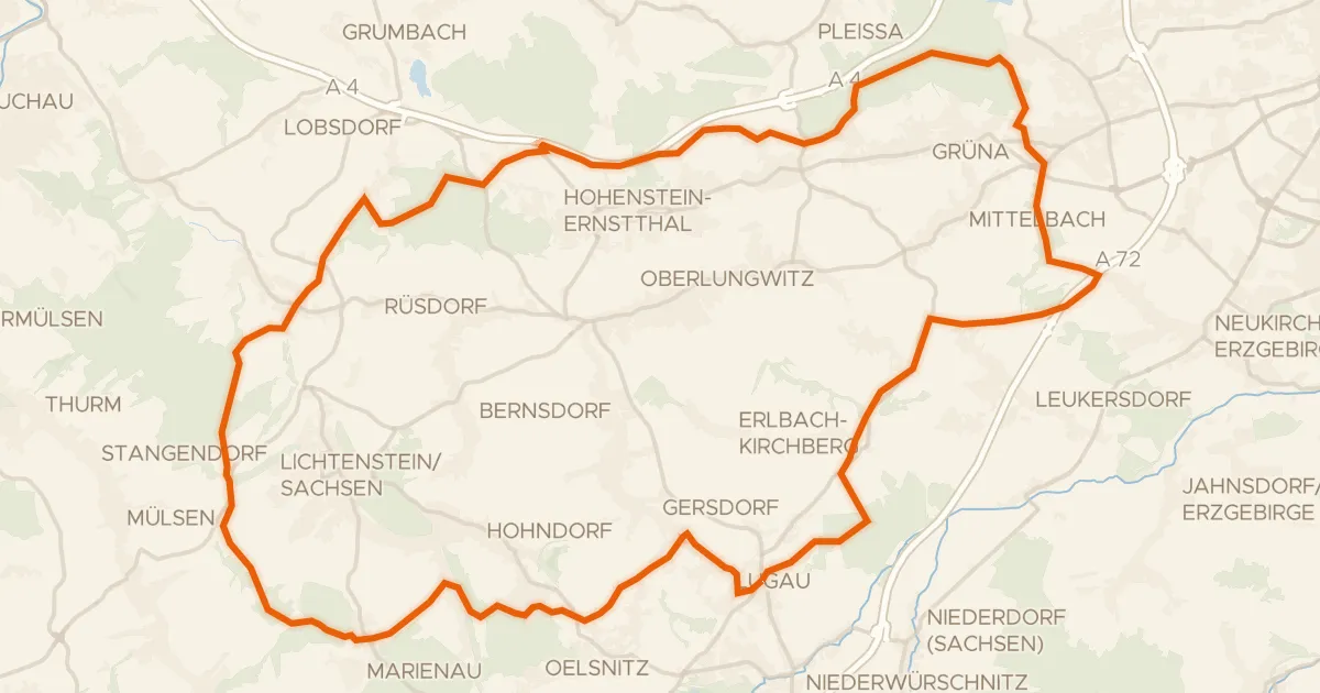
Gravel48% paved
Rondje Maria-Josepha-Turm en Steegenwald
57 km↑ 807 m9 km away
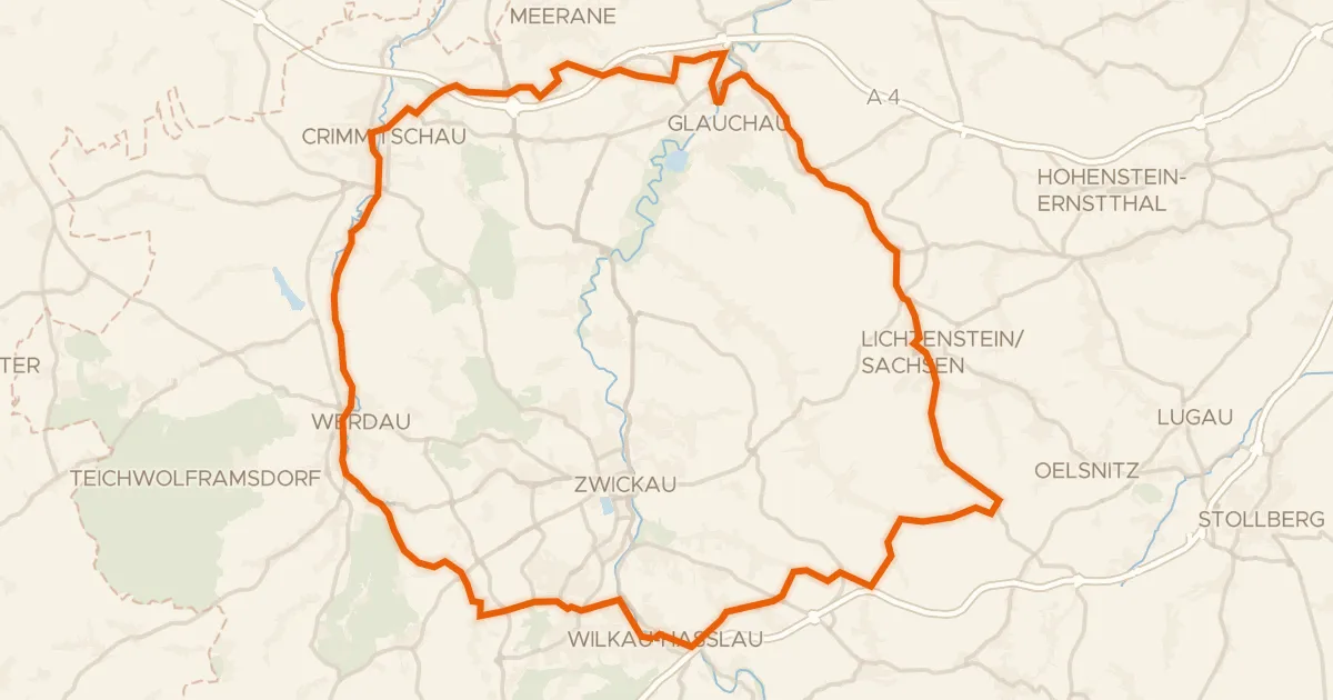
Road bike100% paved
Rondje Schloss Lichtenstein en Schloss Schweinsburg
78 km↑ 768 m15 km away
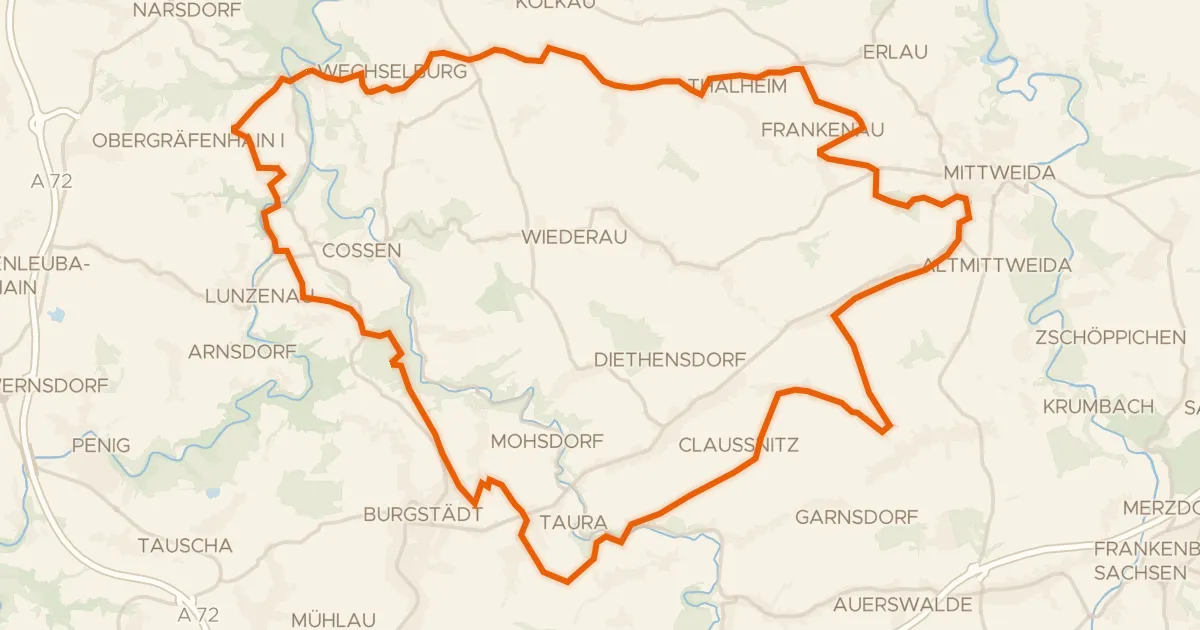
Gravel52% paved
Rondje FFH Mittleres Zwickauer Muldetal en Zwickauer Mulde
60 km↑ 690 m18 km away

Road bike100% paved
Rondje Halbes Schloss en Eschefelder Teiche
63 km↑ 460 m19 km away
Gravel28% paved
Rondje Schlossruine Hartenstein en Hartensteiner Wald
61 km↑ 1,125 m22 km away