Back to the library
GravelRouteCasterRound trip

Rondje Maria-Josepha-Turm en Steegenwald

Distance
57 km
Ascent
807 m
Highest point
485 m
48% paved

Start from your location

Ride there from home: we find the shortest way to the loop and start the loop from there.

The ride

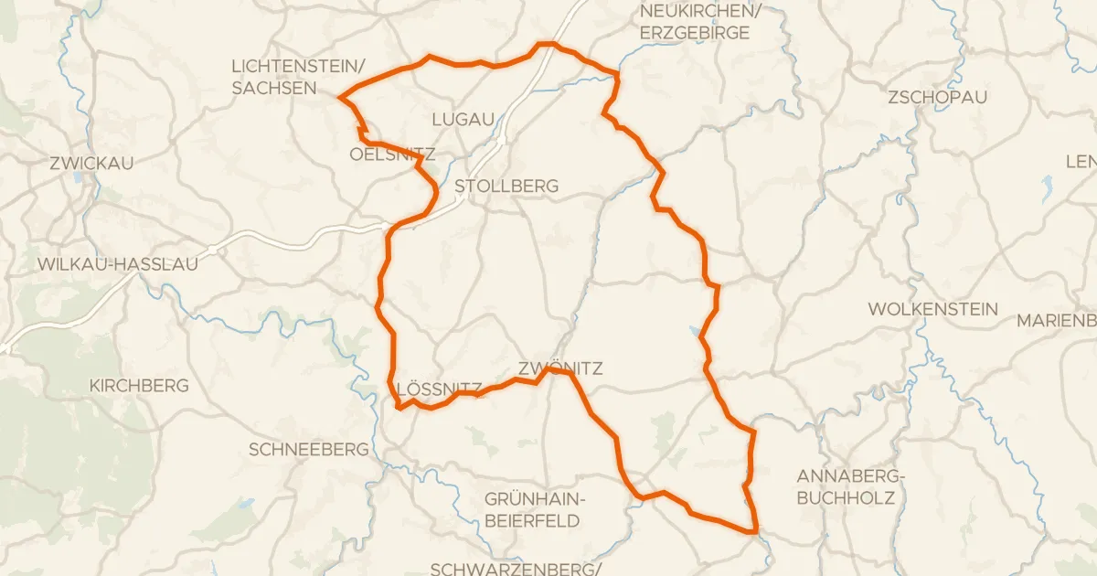
Roll out of Lugau and let the ride unfold: 57.5 km with 807 m of climbing, mixing paved and unpaved across the route. Climb to the Maria-Josepha-Turm viewpoint, then roll through the Stärkerwald forest and on into the Steegenwald forest. The surface shifts between paved and unpaved along the way, keeping the legs guessing as the trees pass by. Back to Lugau it is, with the climbing still humming in your legs.
Along the way

Climbs

Climb 1Cat. 4
2.3 km at 3.8% · max 8%
km 9–12
Climb 2Hill
1.4 km at 3.5% · max 12.8%
km 13–15
Climb 3Cat. 4
3.5 km at 3.6% · max 12.8%
km 22–25
Climb 4Cat. 4
2 km at 4.2% · max 15.1%
km 36–38

Routes nearby

More cycling routes in Germany →