Back to the librarykm 9 · Mar 2021 · © ogniretzlab / Mapillary, CC BY-SA km 6–7km 9–10km 11–12km 16–17km 30–32km 59–59
GravelRouteCasterRound trip
Rondje Ruine Zinnberg en Schloss Wolkenburg
Distance
62 km
Ascent
742 m
Highest point
474 m
39% paved
Start from your location
Ride there from home: we find the shortest way to the loop and start the loop from there.
The ride
From Göpfersdorf the route rolls out toward the FFH Mittleres Zwickauer Muldetal nature reserve, then follows the Zwickauer Mulde river. Past Schloss Wolkenburg castle and the Ruine Zinnberg castle ruin, the way climbs to 742 m of elevation gain. With 39% paved and 62% unpaved, it winds by the Schafteich nature reserve and Callenberg Nord II before looping back to Göpfersdorf.
Along the way
Climbs
Climb 1Hill
0.8 km at 3.6% · max 9.7%
Climb 2Hill
0.8 km at 4.7% · max 11%
Climb 3Hill
1 km at 4.8% · max 10.8%
Climb 4Hill
1.1 km at 3.2% · max 6.6%
Climb 5Hill
1.7 km at 4.3% · max 9.6%
Climb 6Hill
0.7 km at 4.8% · max 7.2%
Routes nearby
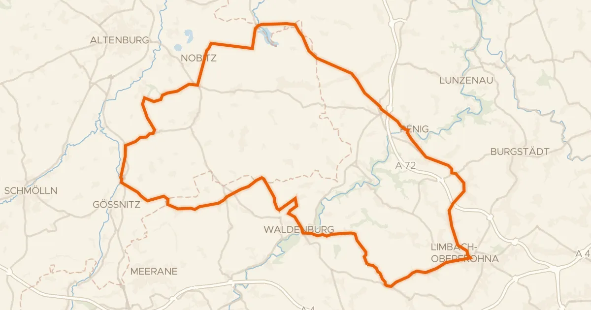
Road bike99% paved
Rondje Schloss Waldenburg en Zwickauer Mulde
77 km↑ 721 m1 km away

Road bike100% paved
Rondje Halbes Schloss en Eschefelder Teiche
63 km↑ 460 m12 km away
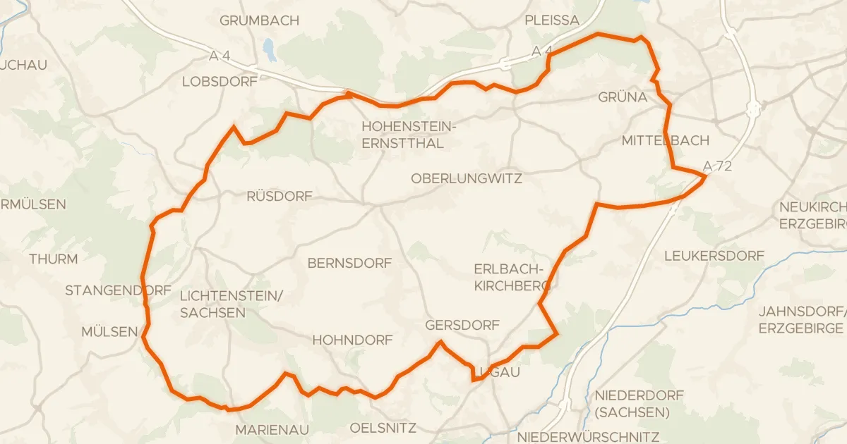
Gravel48% paved
Rondje Maria-Josepha-Turm en Steegenwald
57 km↑ 807 m17 km away
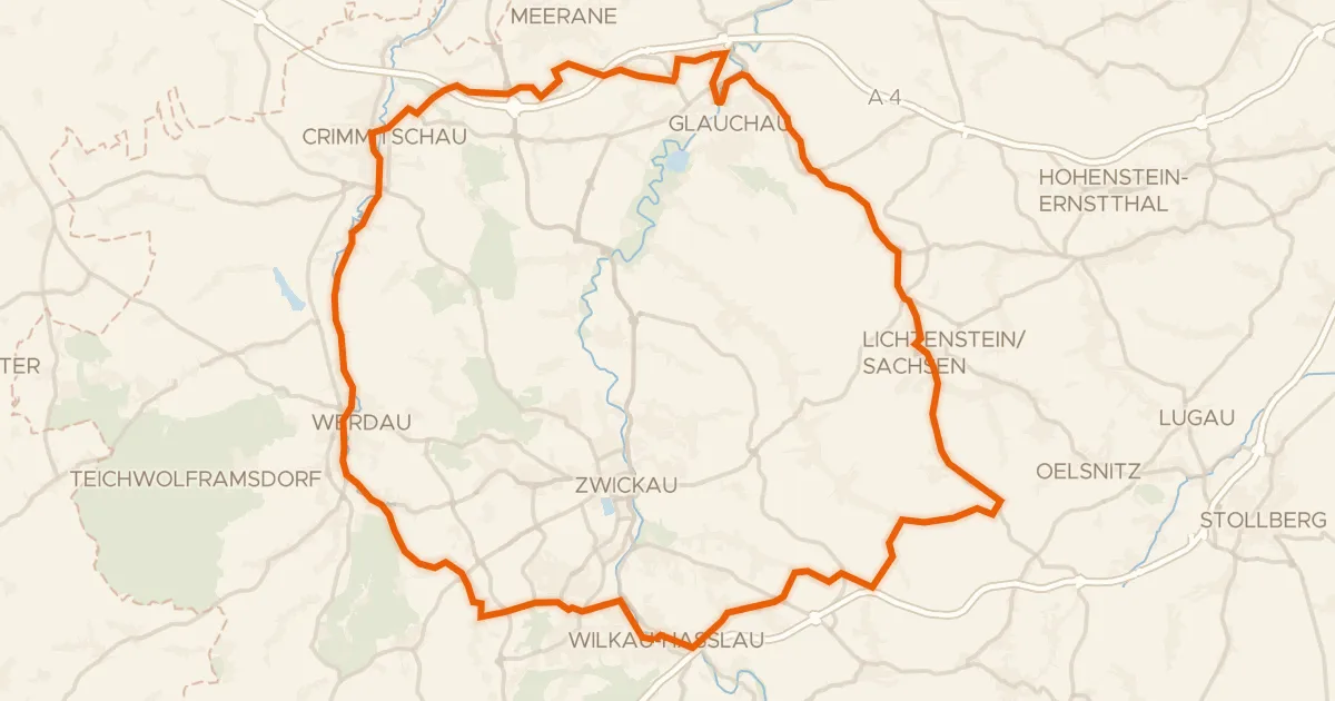
Road bike100% paved
Rondje Schloss Lichtenstein en Schloss Schweinsburg
78 km↑ 768 m18 km away
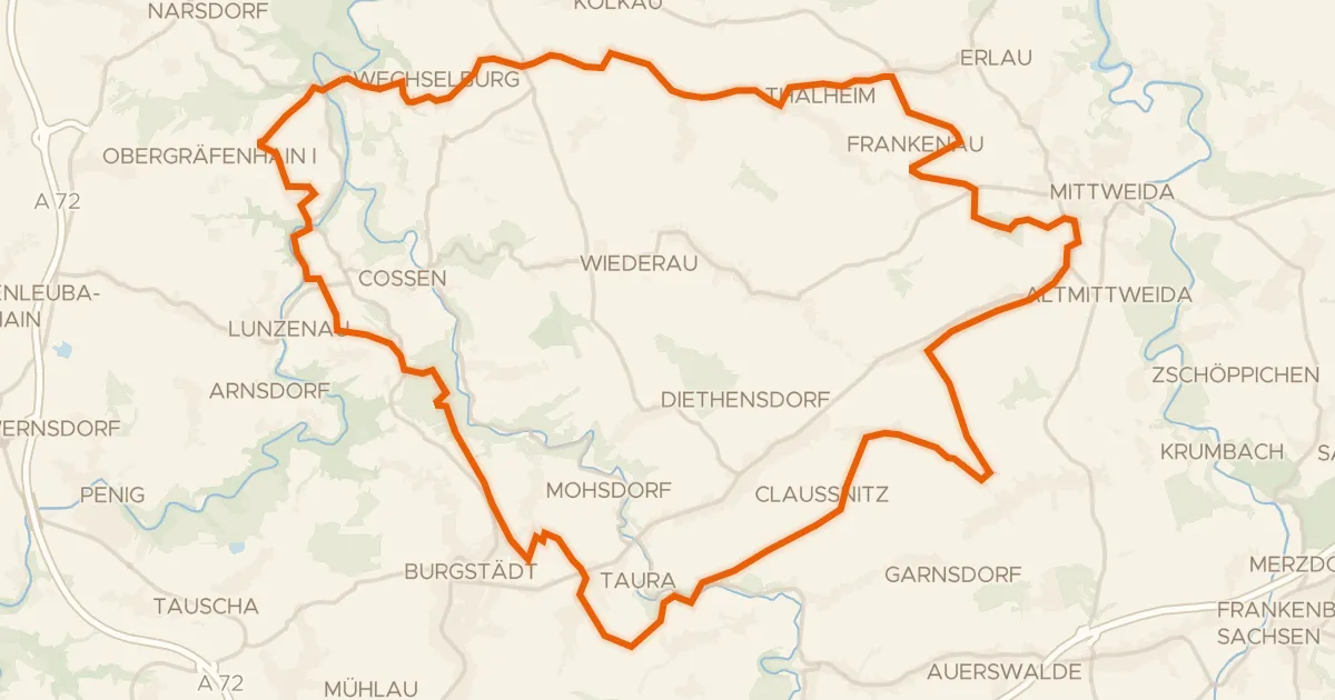
Gravel52% paved
Rondje FFH Mittleres Zwickauer Muldetal en Zwickauer Mulde
60 km↑ 690 m19 km away
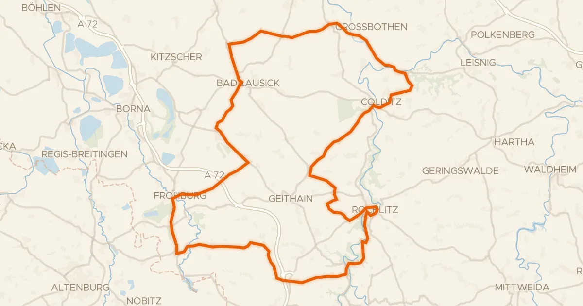
Road bike99% paved
Rondje langs Schloss Rochlitz en Burg Gnandstein
99 km↑ 947 m21 km away