Back to the librarykm 57 · Mar 2018 · © shogun / Mapillary, CC BY-SA km 9–9km 11–13km 14–15km 20–21km 21–23km 47–48km 49–51km 57–58km 58–60
GravelRouteCasterRound trip
Rondje Kohlbachtal en Zwickauer Mulde
Distance
61 km
Ascent
940 m
Highest point
319 m
62% paved
Start from your location
Ride there from home: we find the shortest way to the loop and start the loop from there.
The ride
Roll out of Geringswalde and let the route unfold: 60.8 km with 940 m of climbing, mixing paved and unpaved. First up is the FFH Mittleres Zwickauer Muldetal nature reserve, then the Kohlbachtal nature reserve, before the Zwickauer Mulde river joins the ride. The loop brings you back to Geringswalde.
Along the way
Climbs
Climb 1Hill
0.4 km at 8.2% · max 9.4%
Climb 2Hill
1.9 km at 3.6% · max 7.9%
Climb 3Hill
1 km at 3.4% · max 9.9%
Climb 4Hill
1.1 km at 5.4% · max 15.4%
Climb 5Cat. 4
2 km at 5.9% · max 12%
Climb 6Hill
1.7 km at 4.1% · max 24.2%
Climb 7Hill
1.9 km at 4.1% · max 9.3%
Climb 8Hill
0.8 km at 8% · max 14.7%
Climb 9Hill
1.2 km at 3.7% · max 7.2%
Routes nearby
Road bike100% paved
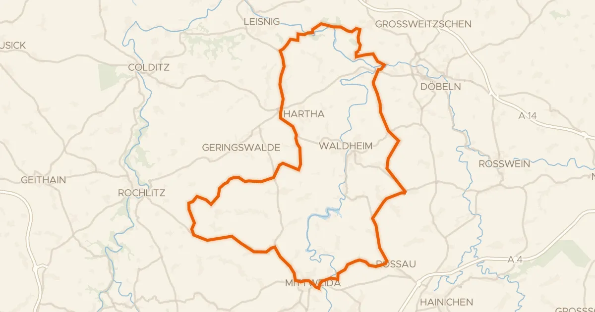
Rondje Schloss Schweta en Zschopau
76 km↑ 861 m5 km away
Road bike100% paved
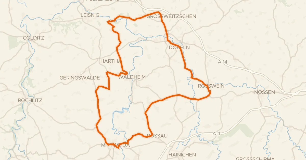
Rondje Burgruine Kempe en Freiberger Mulde
79 km↑ 871 m11 km away
Gravel52% paved
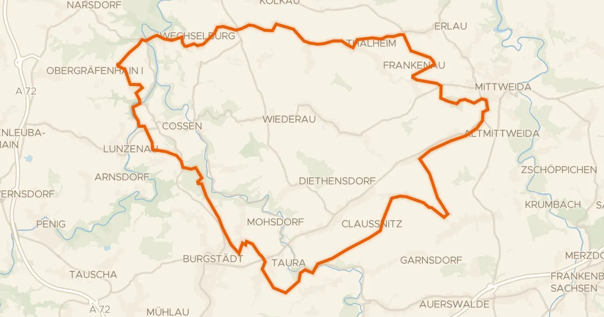
Rondje FFH Mittleres Zwickauer Muldetal en Zwickauer Mulde
60 km↑ 690 m13 km away
Road bike99% paved
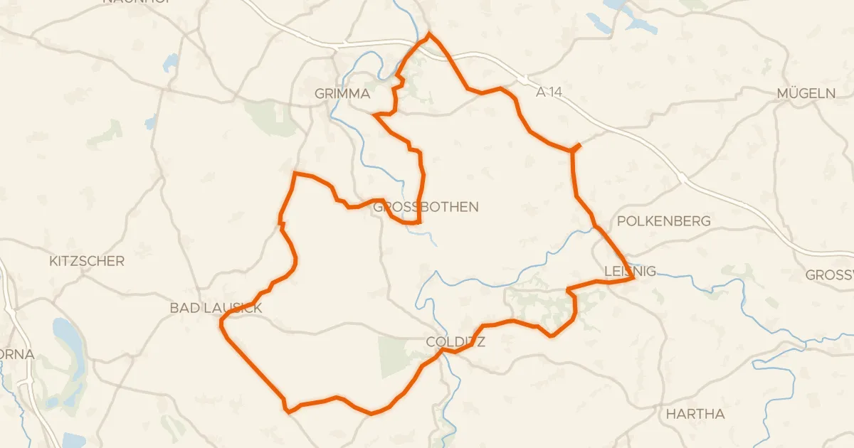
Rondje Burg Mildenstein en Mulde
81 km↑ 698 m14 km away
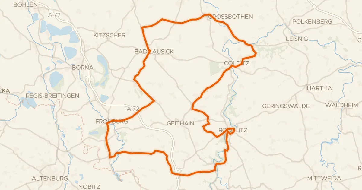
Road bike99% paved
Rondje langs Schloss Rochlitz en Burg Gnandstein
99 km↑ 947 m14 km away
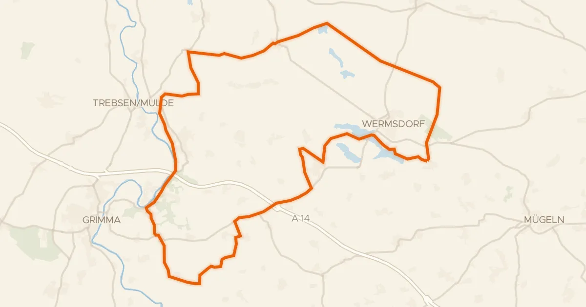
Gravel47% paved
Rondje Schloss Döben en Horstsee-Insel
57 km↑ 377 m21 km away