Back to the librarykm 4–5km 7–12km 15–16km 21–23km 35–37km 38–40km 41–45km 50–53km 55–55km 60–63km 66–70km 77–78
Road bikeMade by RouteCasterRound trip
Rondje Château de La Ganne en La Dordogne
Distance
78 km
Ascent
1,605 m
Highest point
809 m
100% paved
Start from your location
Ride there from home: we find the shortest way to the loop and start the loop from there.
The ride
From Larodde you roll out toward the Millevaches en Limousin nature reserve, then follow the Dordogne river onward. The castle of La Ganne comes next, before the Diège river and the Volcans d'Auvergne nature reserve round things off. With 77.7 km and 1605 m of climbing, all of it paved, the road brings you back to Larodde.
Climbs
Climb 1Hill
0.6 km at 7.1% · max 17%
Climb 2Cat. 3
5 km at 5% · max 44.1%
Climb 3Hill
0.7 km at 5.8% · max 13.2%
Climb 4Cat. 4
1.7 km at 5% · max 9.5%
Climb 5Hill
1.3 km at 3.7% · max 13%
Climb 6Hill
1.9 km at 3.6% · max 9.9%
Col du Puy de BortCat. 3
3.7 km at 5% · max 13.2%
Climb 8Cat. 4
3.1 km at 3.9% · max 14%
Climb 9Hill
0.8 km at 5.4% · max 17.4%
Climb 10Cat. 4
2.9 km at 4.3% · max 10%
Climb 11Cat. 3
3.4 km at 5.9% · max 42.4%
Climb 12Hill
0.9 km at 5.3% · max 11.7%
Routes nearby
Road bike99% paved
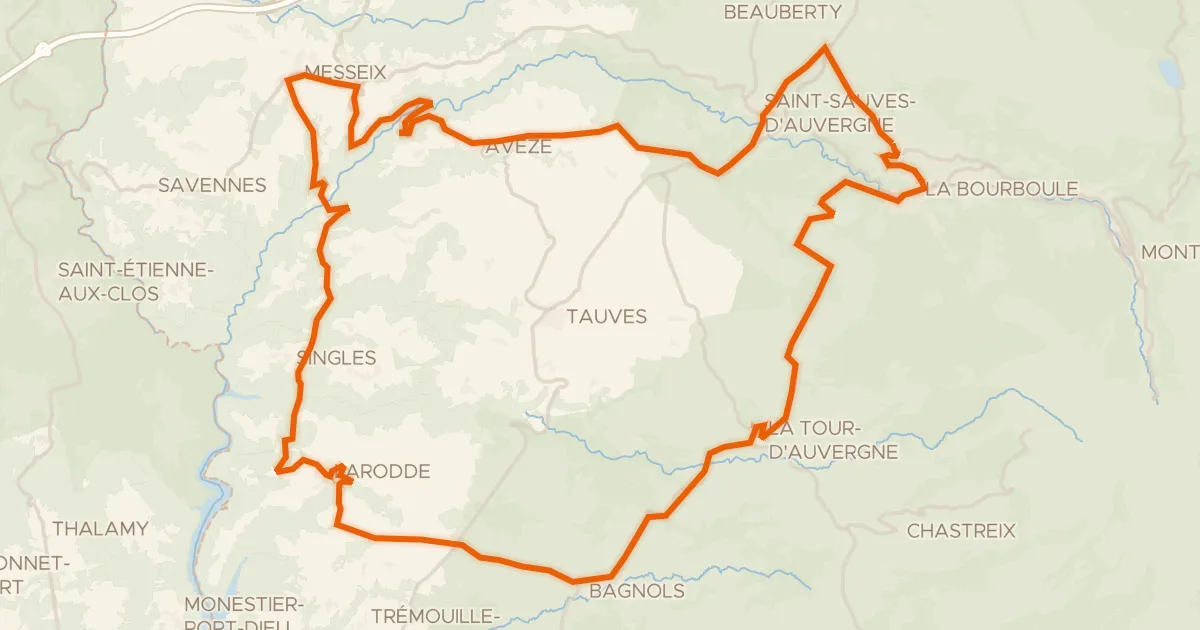
Les gorges d'Avèze - Cyclo
76 km↑ 1,632 m8 km away
Col de la Sœur

Gravel43% paved
Langs La Dordogne en La Rhue
63 km↑ 1,322 m14 km away
Road bike100% paved
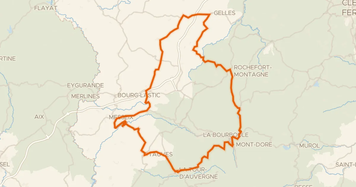
Du Sancy aux Combrailles - Cyclo
112 km↑ 2,019 m18 km away
Col de Guéry

Road bike98% paved
Rondje La Triouzoune en La Diège
74 km↑ 1,081 m18 km away
Road bike100% paved
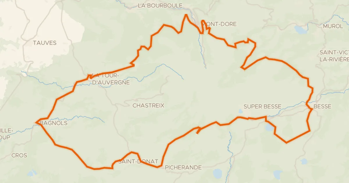
Le tour du Sancy - Cyclo
88 km↑ 1,758 m18 km away
Col de la Geneste · Col de la Croix Saint-Robert

Road bike100% paved
Langs La Rhue en La Véronne
72 km↑ 1,440 m20 km away