Back to the librarykm 0–2km 2–3km 9–10km 24–27km 28–29km 30–47km 51–52km 61–63km 67–68km 68–70
Road bikeMade by RouteCasterRound trip
Langs La Rhue en La Véronne
Distance
72 km
Ascent
1,440 m
Highest point
1,015 m
100% paved
Start from your location
Ride there from home: we find the shortest way to the loop and start the loop from there.
The ride
From Riom-ès-Montagnes you roll out and straight into the Parc naturel régional des Volcans d'Auvergne, a nature reserve that sets the tone for the day. The route then follows the Le Gabacut, La Rhue and La Véronne rivers in turn, each one breaking up the climbing. With 1440 m of elevation gain across the loop, the legs will know they've been out. The ride is fully paved and brings you back to where you started.
Climbs
Climb 1Hill
1.5 km at 3.7% · max 13.5%
Climb 2Hill
0.8 km at 3.2% · max 5%
Climb 3Hill
0.9 km at 4.1% · max 6.1%
Climb 4Cat. 4
2.9 km at 4.3% · max 15.3%
Climb 5Hill
0.9 km at 4.7% · max 15.4%
Climb 6Cat. 2
17.2 km at 3.1% · max 27.3%
Climb 7Hill
1.3 km at 3.7% · max 10.1%
Climb 8Cat. 3
2.2 km at 8.9% · max 27.6%
Climb 9Hill
0.9 km at 6.5% · max 12%
Climb 10Hill
2.1 km at 3.6% · max 11.4%
Routes nearby

Gravel35% paved
Langs La Véronne en La Sumène
60 km↑ 1,765 m8 km away

Gravel46% paved
Rondje La Sumène en Le Marilhou
60 km↑ 1,490 m12 km away

Gravel43% paved
Langs La Dordogne en La Rhue
63 km↑ 1,322 m14 km away
Road bike100% paved
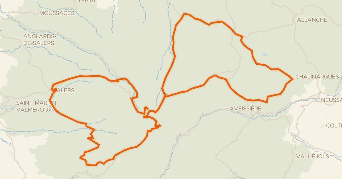
RBX Boucle Volcan du Cantal
139 km↑ 3,272 m16 km away
Col de Bruel · Col de Néronne
Road bike98% paved
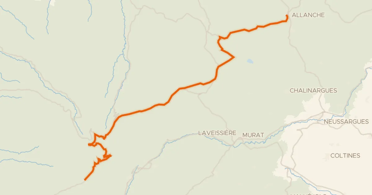
La Grande Traversée du Volcan à Vélo, étape 4, Mandailles-Saint-Julien / Allanche
43 km↑ 1,021 m18 km away
Col d'Eylac · Pas de Peyrol

Road bike100% paved
Rondje Château de Montbrun en La Dordogne
75 km↑ 1,513 m22 km away