Back to the librarykm 12–13km 18–20km 22–24km 37–40km 44–45km 55–56
Road bikeMade by RouteCasterRound trip
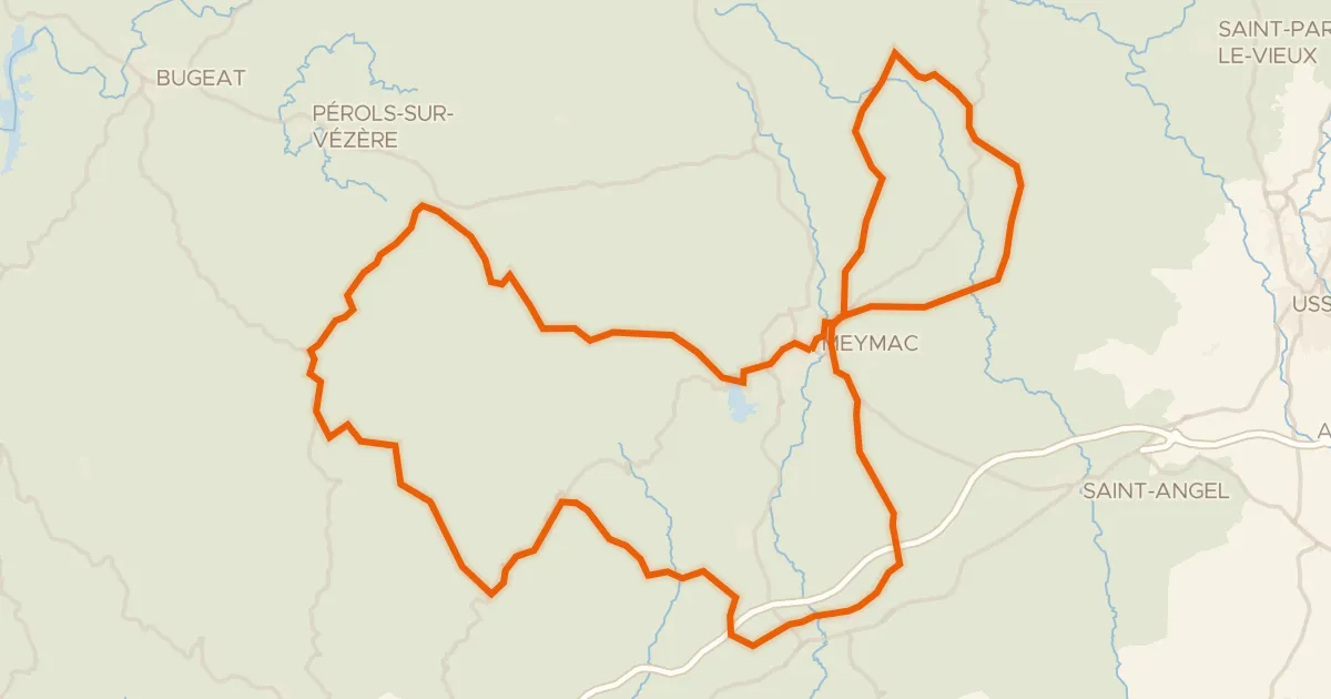
Rondje La Triouzoune en La Diège
Distance
74 km
Ascent
1,081 m
Highest point
738 m
98% paved
Start from your location
Ride there from home: we find the shortest way to the loop and start the loop from there.
The ride
Roll out of Saint-Angel and into the Parc naturel régional de Millevaches en Limousin, where the route follows the Diège, then the Sarsonne, then the Triouzoune. It's 74.5 km with 1081 m of climbing, nearly all on paved surface. Three rivers, one nature reserve, and a loop that brings you back to where you started.
Climbs
Climb 1Hill
1 km at 3.9% · max 5.8%
Climb 2Hill
2 km at 3.4% · max 7.1%
Climb 3Hill
2 km at 4% · max 7.9%
Climb 4Cat. 4
2.3 km at 4.9% · max 20.9%
Climb 5Hill
1.1 km at 3.2% · max 7.5%
Climb 6Hill
1.5 km at 3.1% · max 7.4%
Routes nearby
Road bike100% paved
Pays de Meymac
80 km↑ 1,621 m11 km away
Col de la Blanche

Gravel28% paved
Rondje La Luzège en Le Vianon
58 km↑ 1,263 m18 km away

Road bike100% paved
Rondje Château de La Ganne en La Dordogne
78 km↑ 1,605 m18 km away

Road bike100% paved
Rondje Château de Ventadour en La Luzège
75 km↑ 1,174 m23 km away

Road bike100% paved
Rondje Manoir de Seugnac en La Corrèze
76 km↑ 1,304 m26 km away

Road bike100% paved
Rondje Château de Montbrun en La Dordogne
75 km↑ 1,513 m27 km away