Back to the librarykm 7–9km 10–12km 19–22km 22–22km 22–23km 24–25km 30–32km 38–42km 44–45km 58–65km 72–76
Road bikeRound trip
Les gorges d'Avèze - Cyclo
Distance
76 km
Ascent
1,632 m
Highest point
1,154 m
99% paved
Start from your location
Ride there from home: we find the shortest way to the loop and start the loop from there.
The ride
Here's a 76.0 km ride that's 99% paved and 0% unpaved, so you can settle in and just pedal. Along the way you'll climb a total of 1632 m of elevation gain, and the Col de la Sœur waits as a point of interest. It's a straightforward mix of distance and climbing, with the paved surface doing the talking. Enjoy the day out there.
Passes
Col de la Sœur
Climbs
Climb 1Cat. 4
2.1 km at 5.4% · max 15.3%
Climb 2Hill
1.8 km at 3.2% · max 6.8%
Climb 3Cat. 4
2.4 km at 3.7% · max 14.6%
Climb 4Hill
0.2 km at 13.8% · max 14%
Climb 5Hill
1.4 km at 3.6% · max 6.6%
Climb 6Hill
0.7 km at 3.8% · max 7.3%
Climb 7Cat. 4
2.1 km at 6.5% · max 19.6%
Climb 8Cat. 3
4.1 km at 5.8% · max 16.2%
Climb 9Hill
1.8 km at 3.2% · max 11.3%
Col de la SœurCat. 3
7.4 km at 3.9% · max 9.6%
Climb 11Cat. 3
3.6 km at 4.5% · max 19.8%
Routes nearby
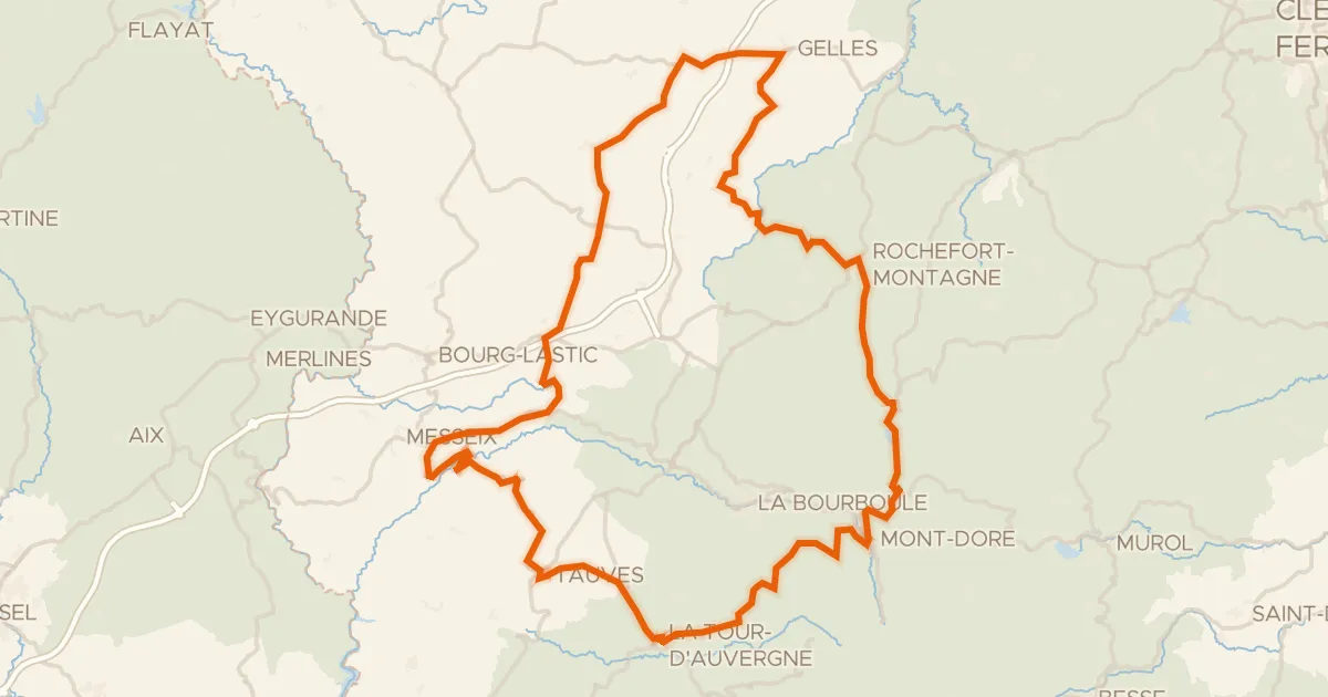
Road bike100% paved
Du Sancy aux Combrailles - Cyclo
112 km↑ 2,019 m7 km away
Col de Guéry
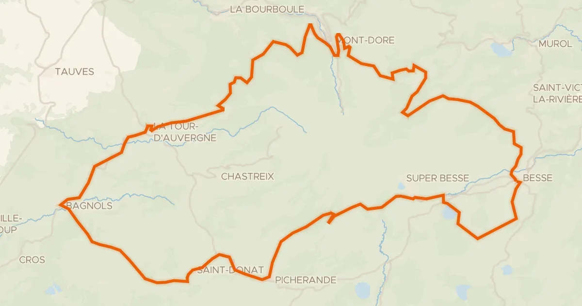
Road bike100% paved
Le tour du Sancy - Cyclo
88 km↑ 1,758 m9 km away
Col de la Geneste · Col de la Croix Saint-Robert
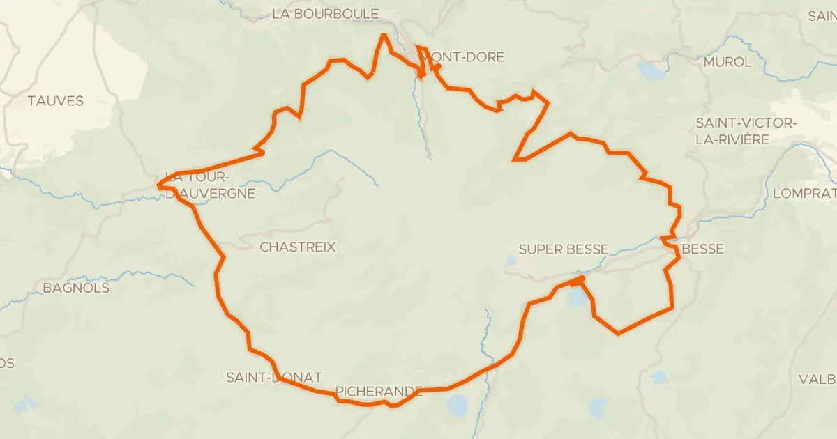
Road bike99% paved
Autour du massif du Sancy - Tour du Sancy
77 km↑ 1,556 m11 km away
Col de la Croix Saint-Robert
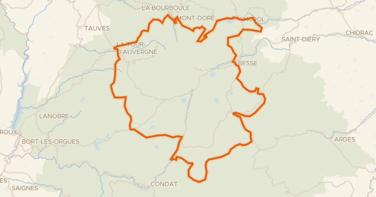
Road bike100% paved
Le 150 km - Cyclo
151 km↑ 3,070 m17 km away
Col de Montgreleix · Col de la Croix Saint-Robert
Road bike100% paved
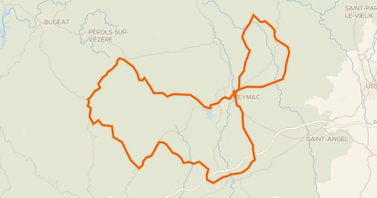
Pays de Meymac
80 km↑ 1,621 m50 km away
Col de la Blanche
Road bike98% paved
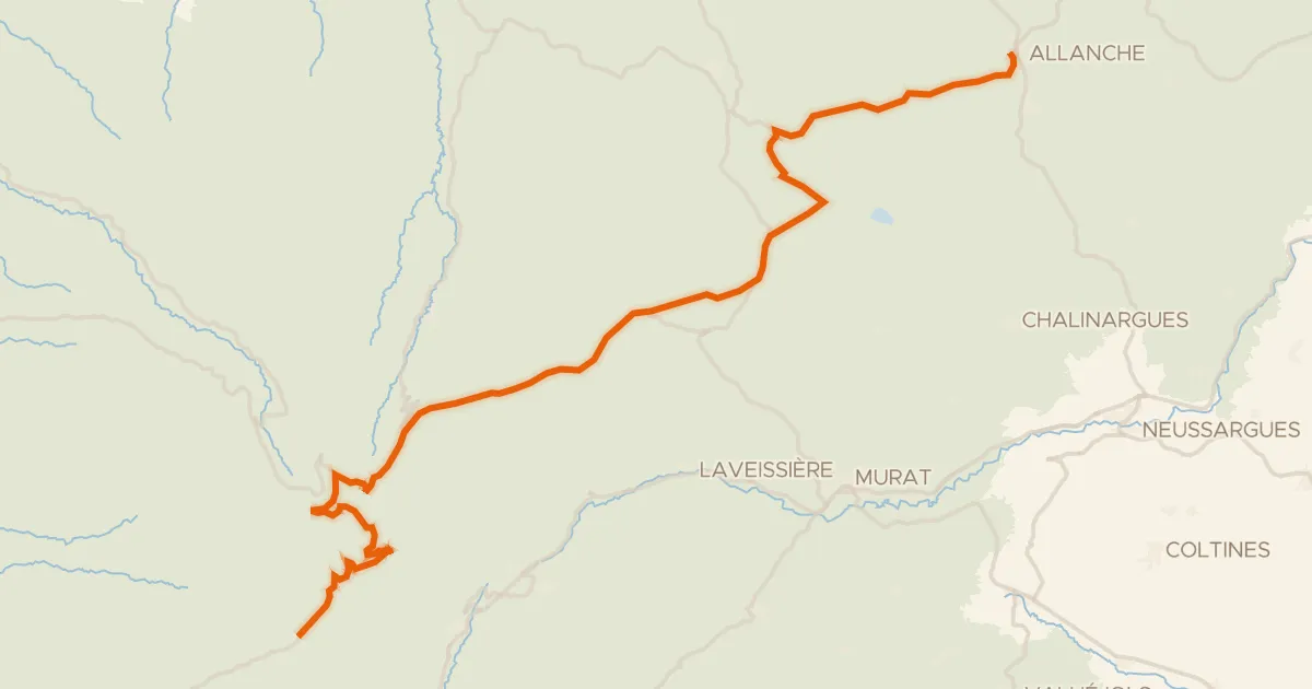
La Grande Traversée du Volcan à Vélo, étape 4, Mandailles-Saint-Julien / Allanche
43 km↑ 1,021 m50 km away
Col d'Eylac · Pas de Peyrol