Back to the librarykm 0–5km 11–13km 13–15km 17–20km 20–23km 29–32km 35–35km 38–39km 47–48km 49–50km 51–53
GravelRouteCasterRound trip
Rondje Burg Hardeg en Solling
Distance
58 km
Ascent
1,254 m
Highest point
493 m
7% paved
Start from your location
Ride there from home: we find the shortest way to the loop and start the loop from there.
The ride
Roll out of Hardegsen and let the ride unfold: past Burg Hardeg castle, then into the Solling forest. The route keeps climbing through the Wälder im östlichen Solling nature reserve and the Wälder im Solling bei Lauenberg nature reserve, on the way to the Weper, Gladeberg und Aschenburg nature reserve. With 1254 m of elevation gain, it's a steady day out, and the surface is mostly unpaved. Back to Hardegsen where you started.
Climbs
Climb 1Cat. 3
4.6 km at 4.8% · max 10.8%
Climb 2Hill
1.8 km at 3.9% · max 11.7%
Climb 3Cat. 4
1.7 km at 5.9% · max 13.3%
Climb 4Cat. 4
2.5 km at 4.1% · max 14.3%
Climb 5Cat. 3
2.8 km at 7% · max 14.8%
Climb 6Cat. 4
3.3 km at 3.2% · max 20%
Climb 7Hill
0.5 km at 5.5% · max 9.2%
Climb 8Cat. 4
1.2 km at 7.4% · max 11.5%
Climb 9Hill
0.9 km at 8% · max 13.2%
Climb 10Hill
0.6 km at 7.7% · max 13%
Climb 11Hill
2.1 km at 3.5% · max 12.4%
Routes nearby
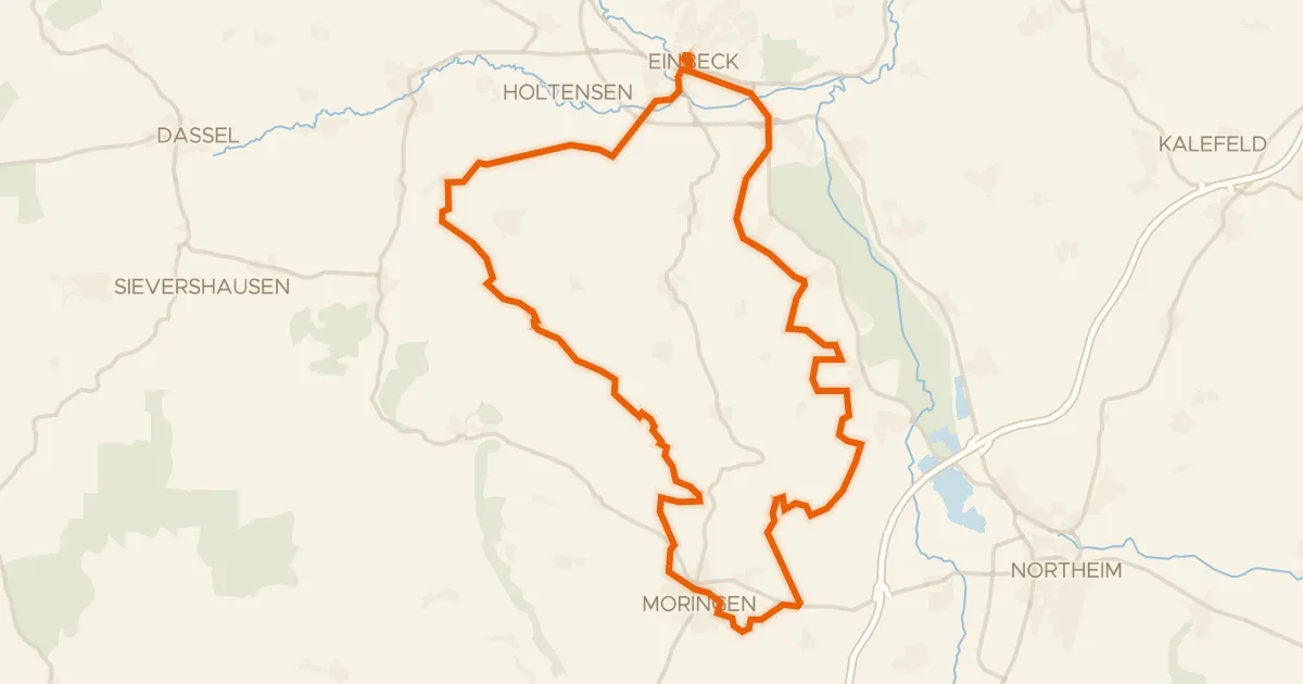
Gravel37% paved
Rondje Ahlsburg en Ilme
55 km↑ 617 m12 km away
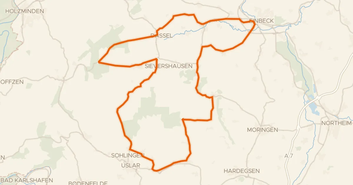
Road bike98% paved
Rondje Erichsburg en Moore und Wälder im Hochsolling
85 km↑ 1,053 m12 km away
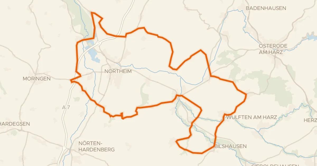
Road bike100% paved
Rondje NSG Mäuseberg und Eulenberg en NSG Oderaue
80 km↑ 779 m17 km away
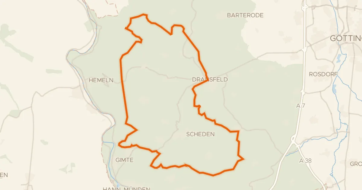
Gravel16% paved
Rondje Totenberg en Bramwald
59 km↑ 1,139 m20 km away
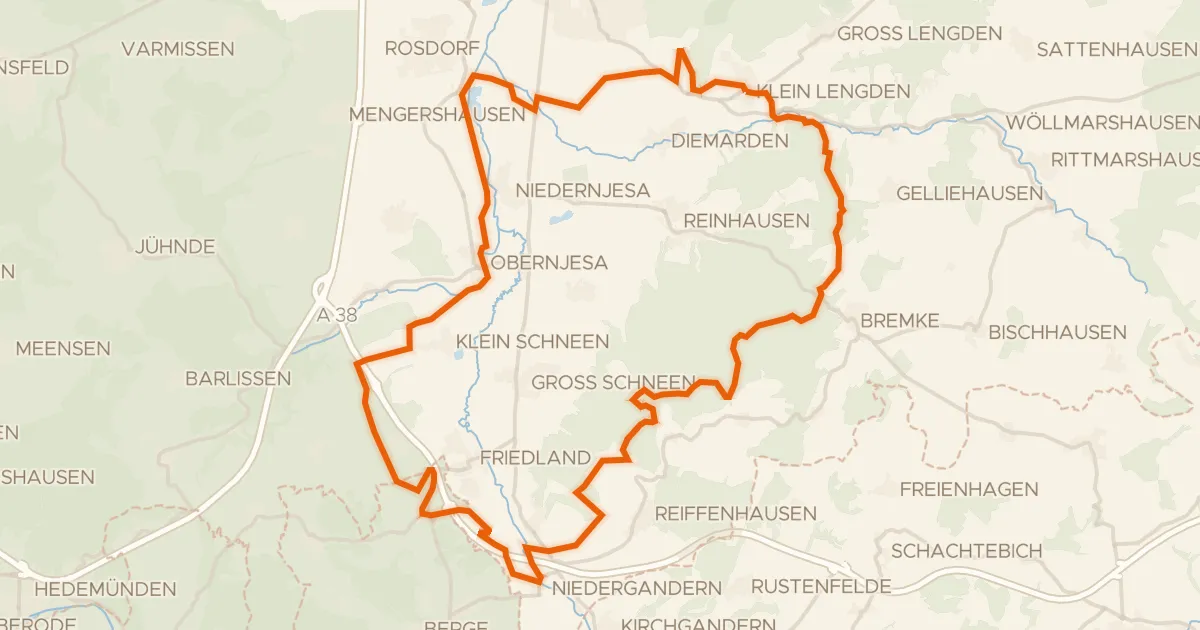
Gravel30% paved
Langs de Leine en Rhöneberg bei Marzhausen
54 km↑ 770 m24 km away
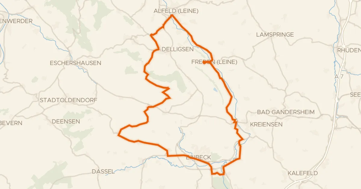
Road bike99% paved
Rondje Heldenburg en Lieth
75 km↑ 798 m26 km away