Back to the librarykm 0–1km 2–3km 34–36km 38–39km 40–41km 44–45km 47–49km 53–54
GravelRouteCasterRound trip
Langs de Leine en Rhöneberg bei Marzhausen
Distance
54 km
Ascent
770 m
Highest point
401 m
30% paved
Start from your location
Ride there from home: we find the shortest way to the loop and start the loop from there.
The ride
Roll out of Klein Lengden and follow the Leine before the route climbs into Naturpark Münden. From there it crosses the Geo-Naturpark Frau-Holle-Land and skirts the Rhöneberg bei Marzhausen nature reserve. With 770 m of climbing across 54.1 km, and most of it unpaved, the pedals keep turning. Then it's back to where you started.
Climbs
Climb 1Hill
1.2 km at 3.4% · max 12.5%
Climb 2Hill
1 km at 4.2% · max 9.3%
Climb 3Cat. 4
1.9 km at 6.5% · max 12.3%
Climb 4Cat. 4
1.2 km at 9.6% · max 17.1%
Climb 5Hill
0.8 km at 4.2% · max 10.4%
Climb 6Hill
0.9 km at 3.7% · max 8.5%
Climb 7Cat. 4
2.1 km at 5.5% · max 16.9%
Climb 8Hill
0.8 km at 3.3% · max 6.5%
Routes nearby
Road bike100% paved
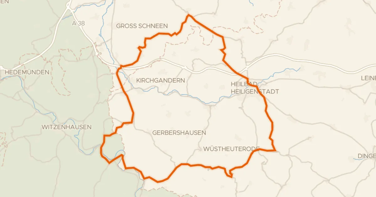
Rondje Gut Werleshausen en Dün
72 km↑ 974 m14 km away
Gravel16% paved
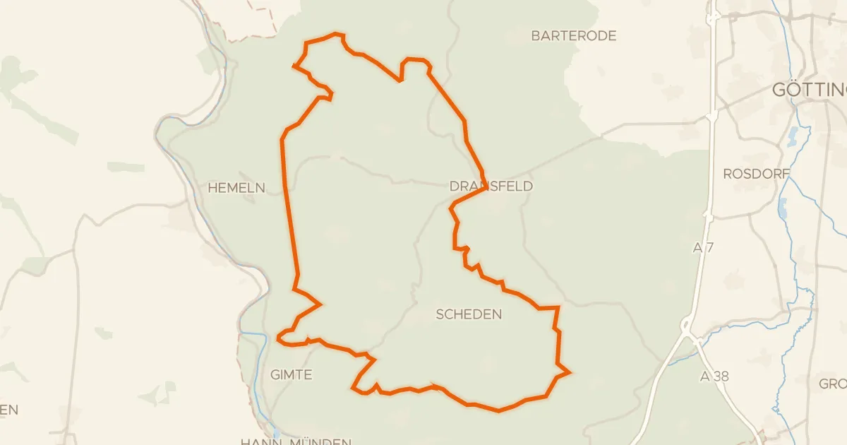
Rondje Totenberg en Bramwald
59 km↑ 1,139 m20 km away
Road bike96% paved
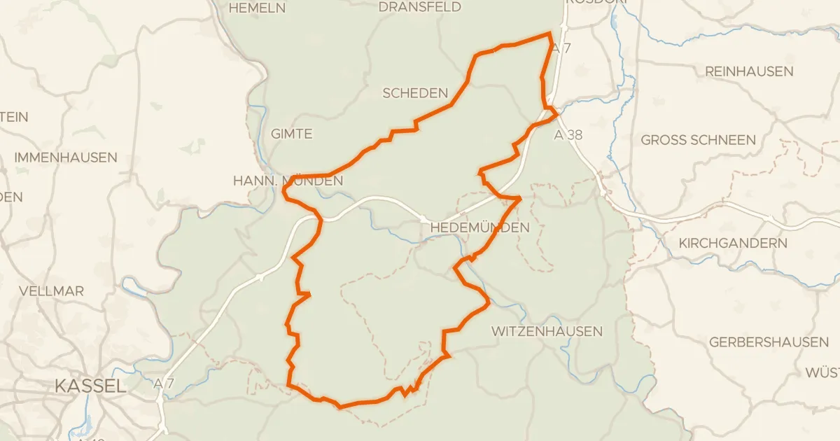
Rondje Schloss Berlepsch en Hochmoor Hühnerfeld
76 km↑ 1,229 m20 km away
Road bike100% paved
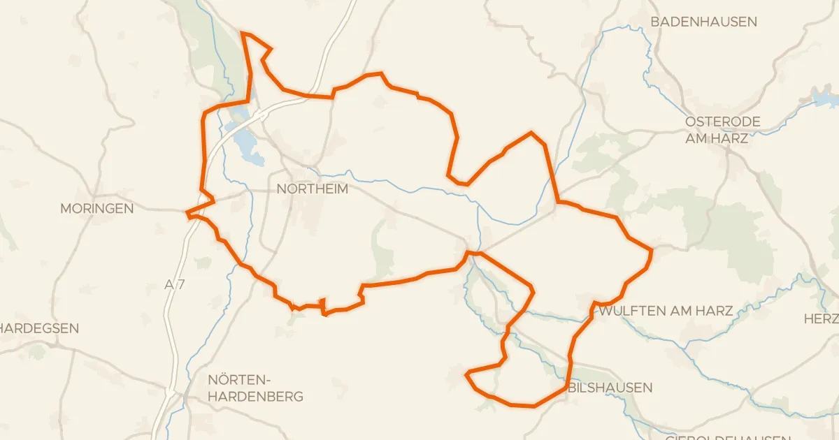
Rondje NSG Mäuseberg und Eulenberg en NSG Oderaue
80 km↑ 779 m22 km away
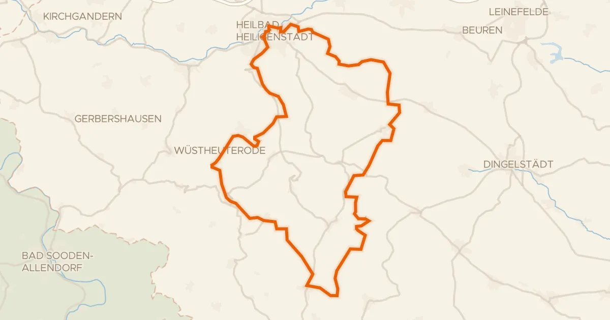
Gravel14% paved
Rondje Dün en Leine
55 km↑ 1,229 m23 km away
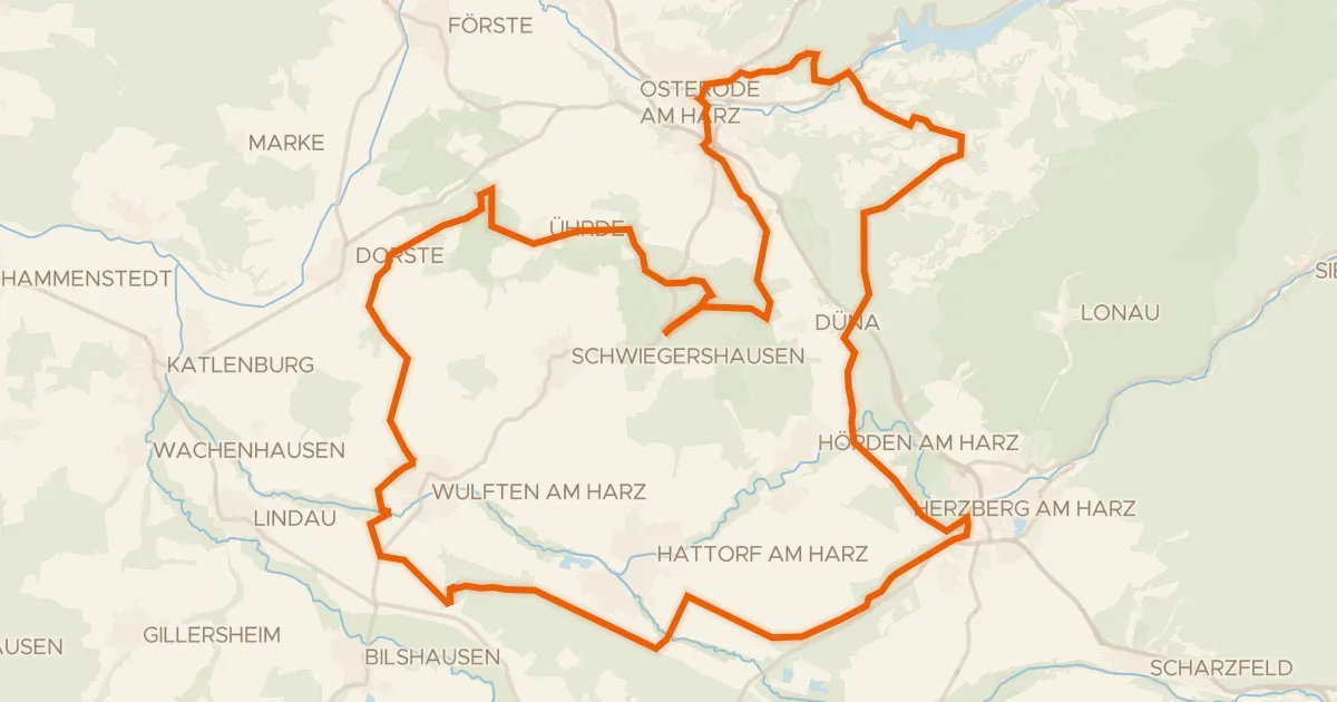
Gravel32% paved
Rondje Alte Burg en Schloss Herzberg
64 km↑ 1,111 m27 km away