Back to the librarykm 17 · Apr 2026 · © hotteliene / Mapillary, CC BY-SA km 21 · May 2024 · © hotteliene / Mapillary, CC BY-SA km 55 · Sep 2020 · © thetornado76 / Mapillary, CC BY-SA km 59 · May 2020 · © thetornado76 / Mapillary, CC BY-SA km 11–12km 15–23km 25–26km 29–30km 53–59km 72–76
Road bikeRouteCasterRound trip
Rondje Schloss Berlepsch en Hochmoor Hühnerfeld
Distance
76 km
Ascent
1,229 m
Highest point
460 m
96% paved
Start from your location
Ride there from home: we find the shortest way to the loop and start the loop from there.
The ride
Roll out from Parkeerplaats Großer Leinebusch and straight into the Großer Leinebusch nature reserve, then on to the Hochmoor Hühnerfeld and Oberes Niestetal reserves. Past Schloss Ermschwerd manor the road climbs through the Freudenthal bei Witzenhausen reserve before Schloss Berlepsch castle comes into view. With 76.1 km and 1229 m of climbing, mostly on paved surface, it all loops back to where you started.
Along the way
Climbs
Climb 1Hill
1 km at 3.4% · max 5.5%
Climb 2Cat. 2
8.5 km at 3.9% · max 13.5%
Climb 3Hill
1 km at 6.2% · max 8.6%
Climb 4Hill
0.9 km at 5.6% · max 13.1%
Climb 5Cat. 3
6.4 km at 3.1% · max 15.3%
Climb 6Cat. 4
3.9 km at 3.9% · max 8.7%
Routes nearby
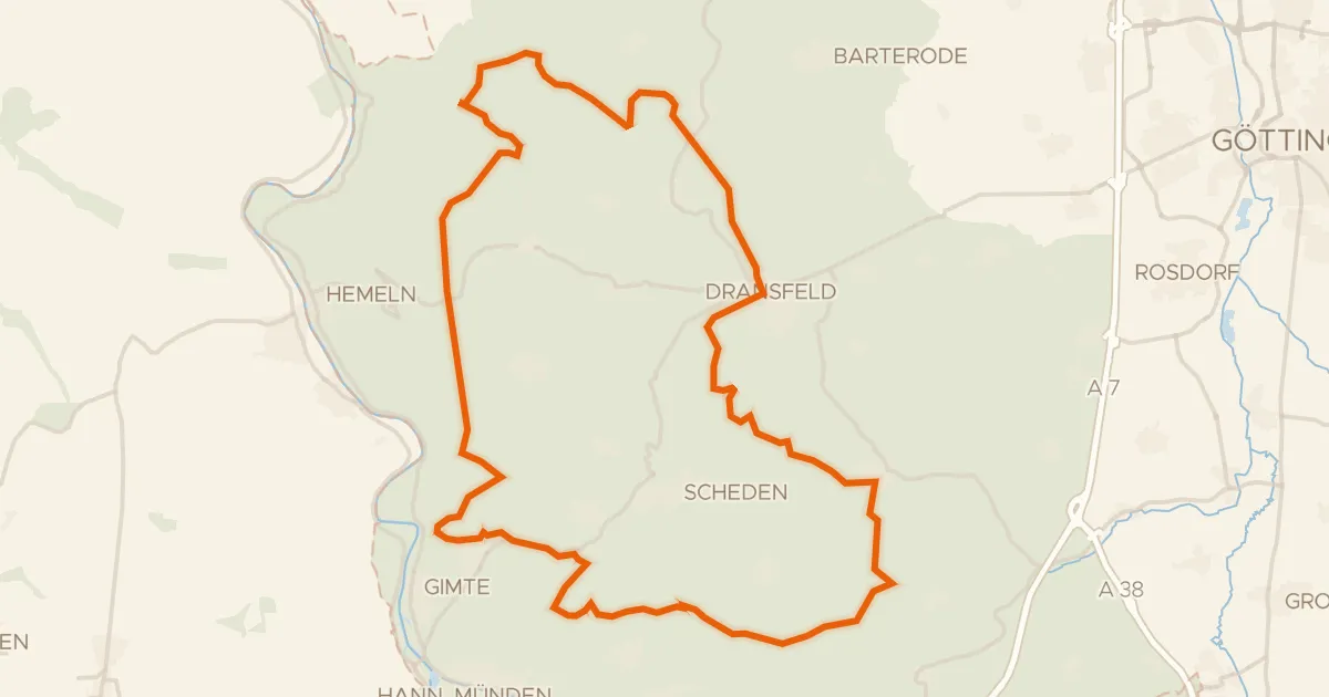
Gravel16% paved
Rondje Totenberg en Bramwald
59 km↑ 1,139 m7 km away
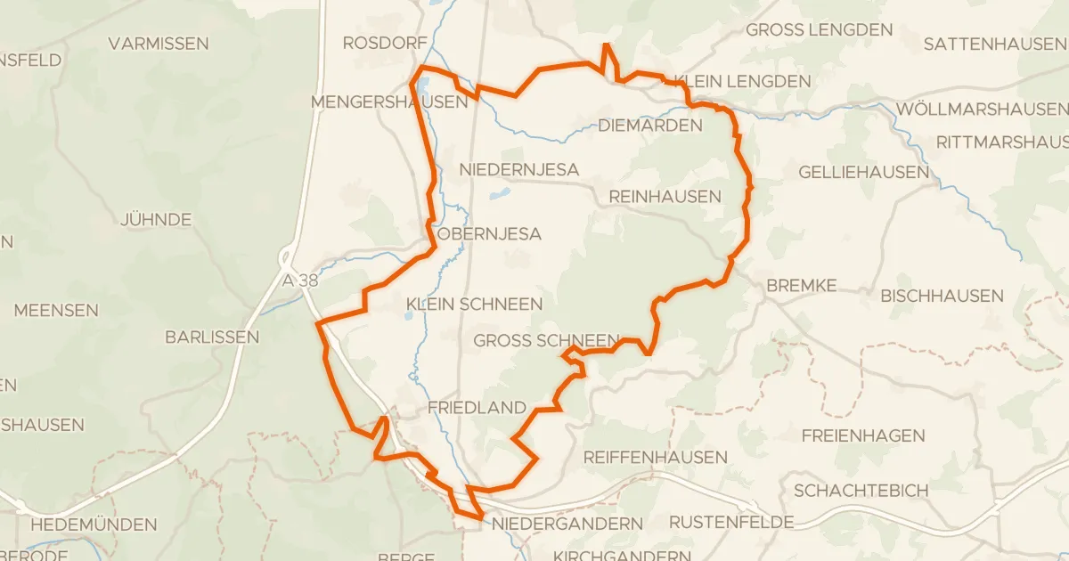
Gravel30% paved
Langs de Leine en Rhöneberg bei Marzhausen
54 km↑ 770 m10 km away
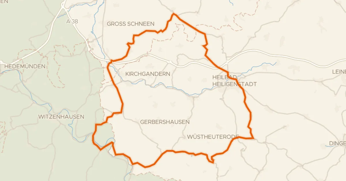
Road bike100% paved
Rondje Gut Werleshausen en Dün
72 km↑ 974 m20 km away
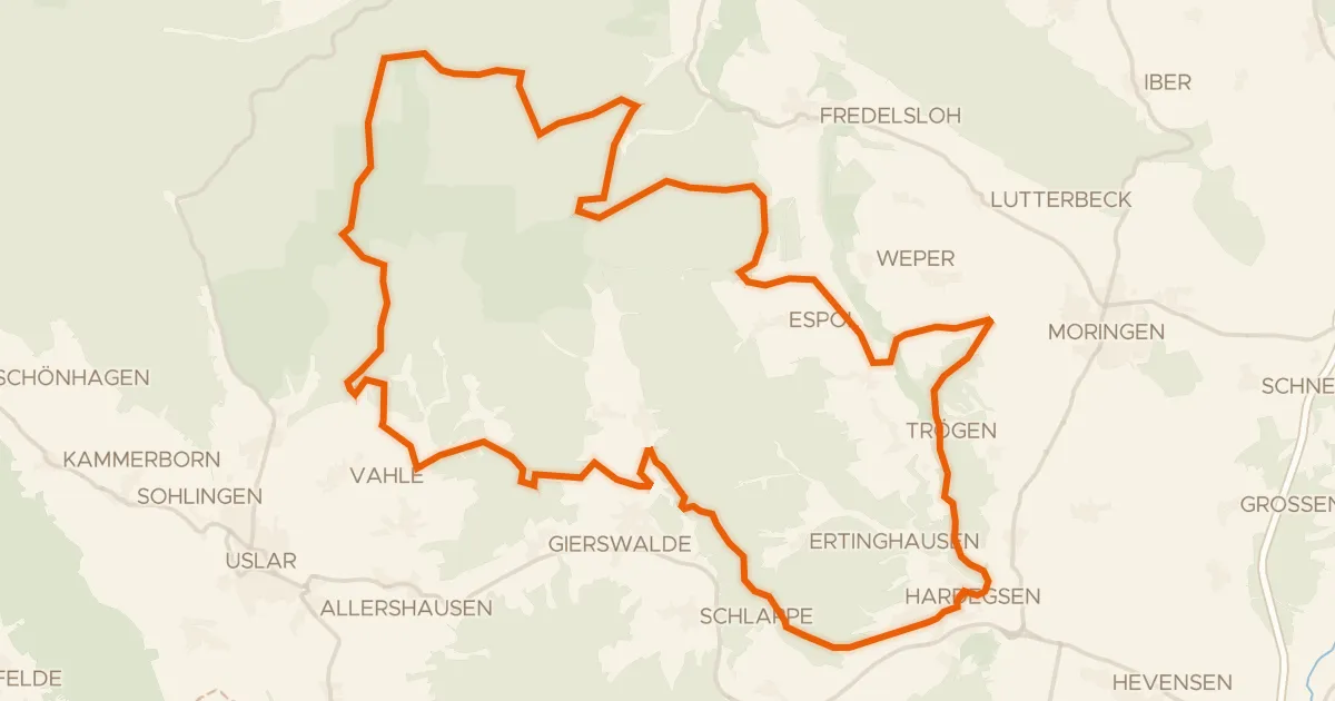
Gravel7% paved
Rondje Burg Hardeg en Solling
58 km↑ 1,254 m24 km away
Gravel30% paved
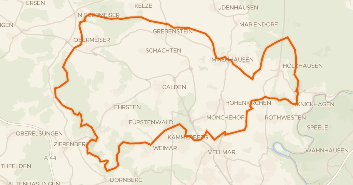
Rondje Keischel bei Weimar en Dörnberg
77 km↑ 1,436 m29 km away
Road bike100% paved
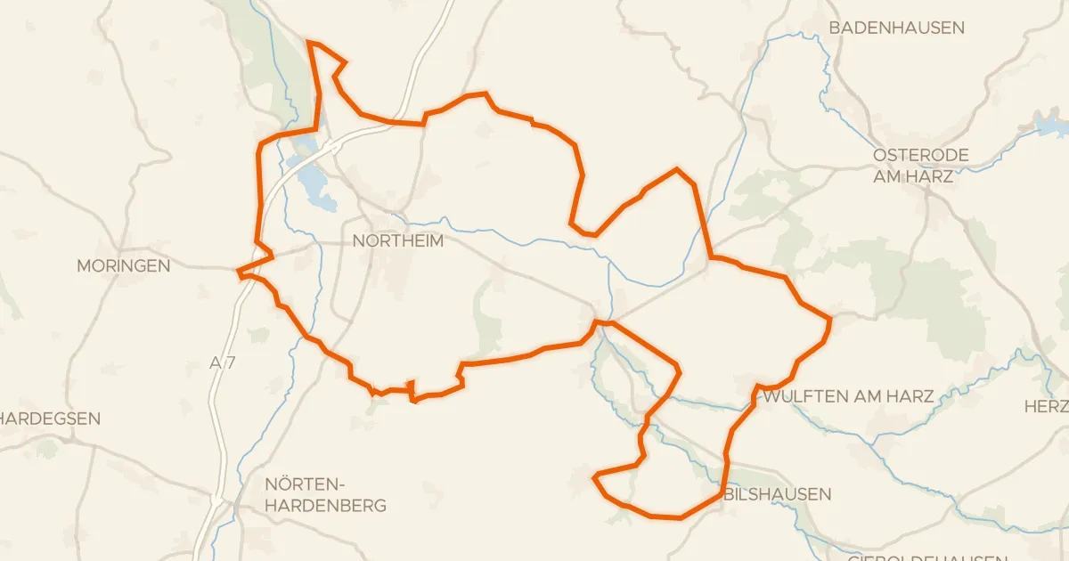
Rondje NSG Mäuseberg und Eulenberg en NSG Oderaue
80 km↑ 779 m29 km away