Back to the librarykm 54 · Oct 2023 · © hotteliene / Mapillary, CC BY-SA km 9–10km 11–12km 15–16km 26–27km 31–33
GravelRouteCasterRound trip
Rondje Ahlsburg en Ilme
Distance
55 km
Ascent
617 m
Highest point
326 m
37% paved
Start from your location
Ride there from home: we find the shortest way to the loop and start the loop from there.
The ride
Roll out of Einbeck and let the ride unfold: past the Historischer Wasserkasten canal, along the Ilme river, then up through the Ahlsburg forest. It's 54,9 km with 617 m of climbing, and most of it runs unpaved. You finish back where you started, in Einbeck.
Along the way
Climbs
Climb 1Cat. 4
1.7 km at 4.8% · max 11.4%
Climb 2Hill
1.6 km at 3.4% · max 8.8%
Climb 3Hill
1 km at 3.2% · max 6.6%
Climb 4Hill
1.2 km at 4.4% · max 14.7%
Climb 5Cat. 4
2.7 km at 4.3% · max 17%
Routes nearby
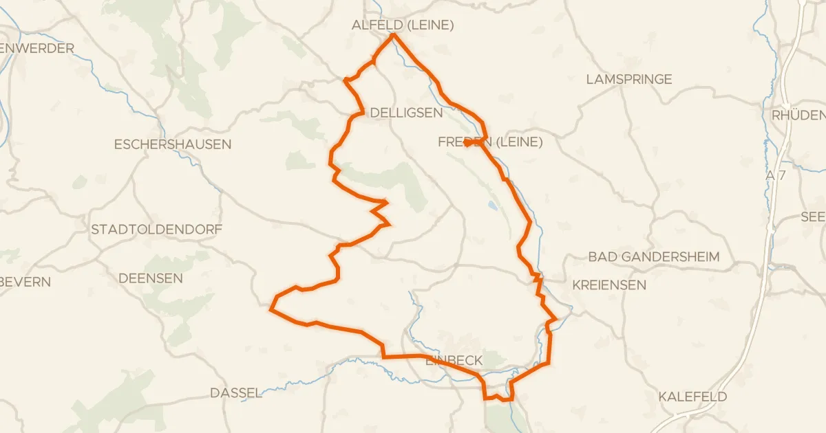
Road bike99% paved
Rondje Heldenburg en Lieth
75 km↑ 798 m8 km away
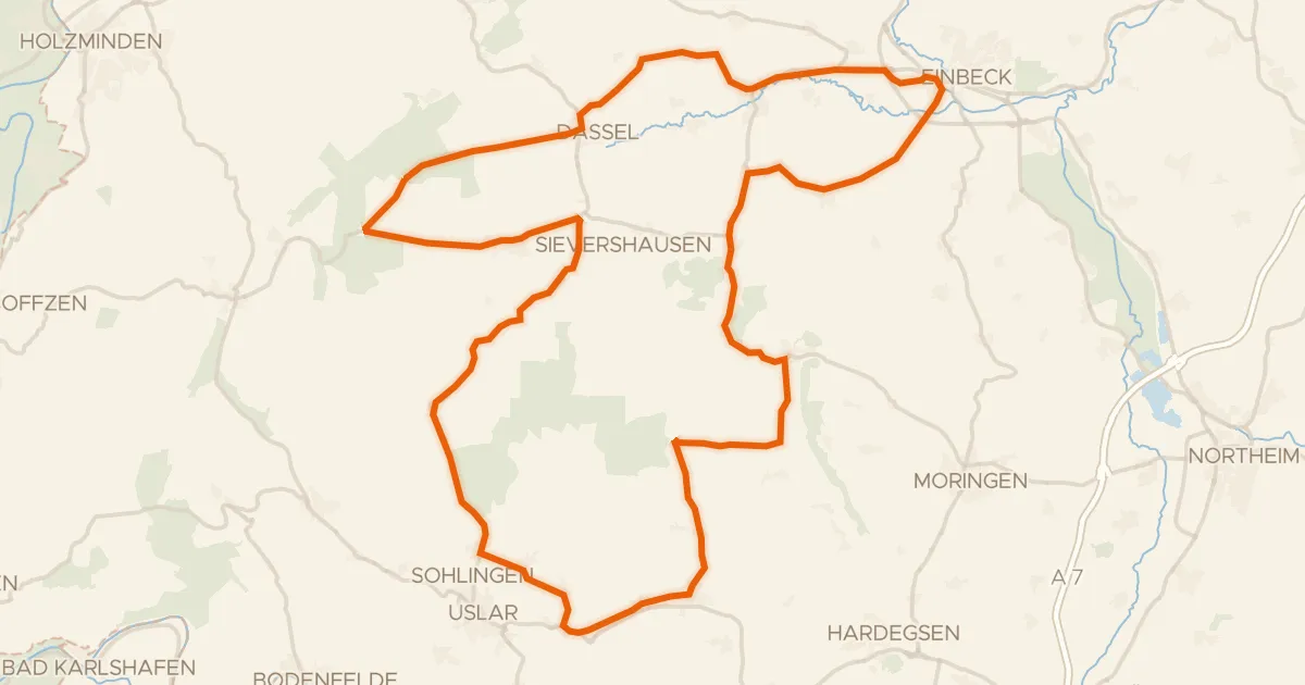
Road bike98% paved
Rondje Erichsburg en Moore und Wälder im Hochsolling
85 km↑ 1,053 m13 km away
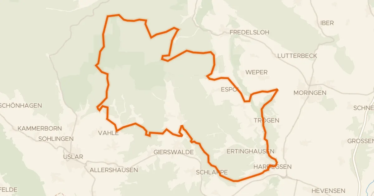
Gravel7% paved
Rondje Burg Hardeg en Solling
58 km↑ 1,254 m16 km away
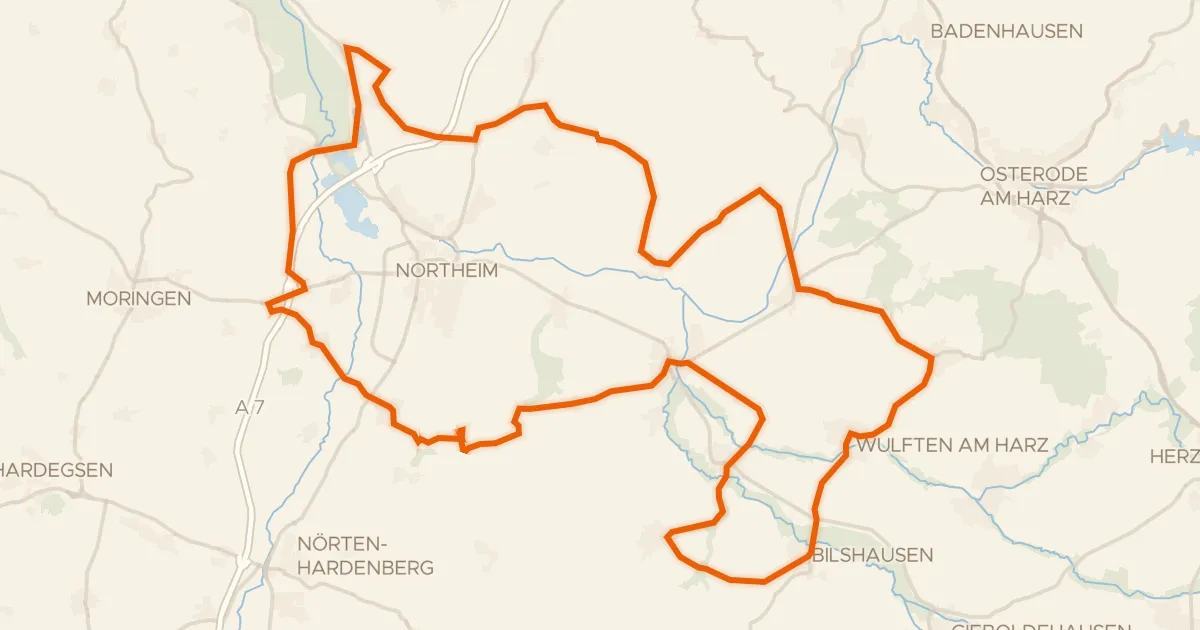
Road bike100% paved
Rondje NSG Mäuseberg und Eulenberg en NSG Oderaue
80 km↑ 779 m20 km away
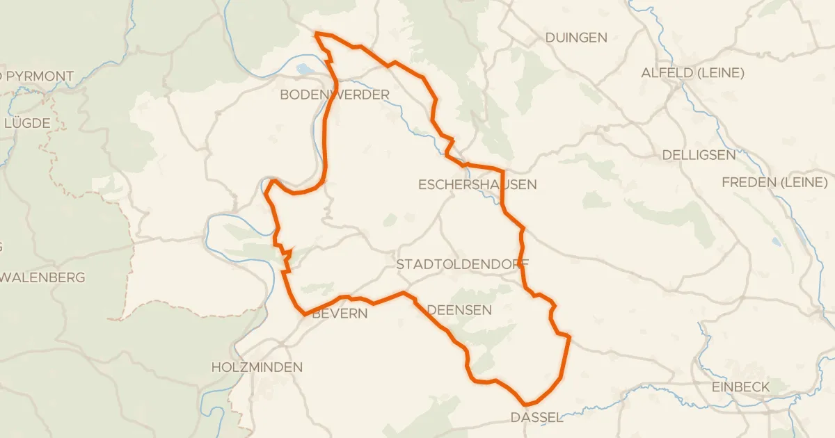
Road bike100% paved
Rondje Erichsburg en Schloß Bevern
77 km↑ 761 m21 km away
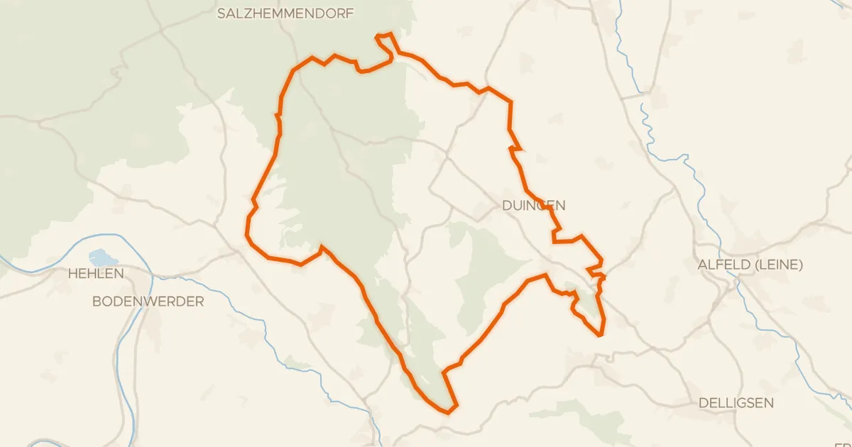
Gravel12% paved
Rondje Poppenburg en Ith
58 km↑ 1,379 m25 km away