Back to the librarykm 0–1km 10–14km 20–21km 30–31km 48–57km 64–70
Road bikeMade by RouteCasterRound trip
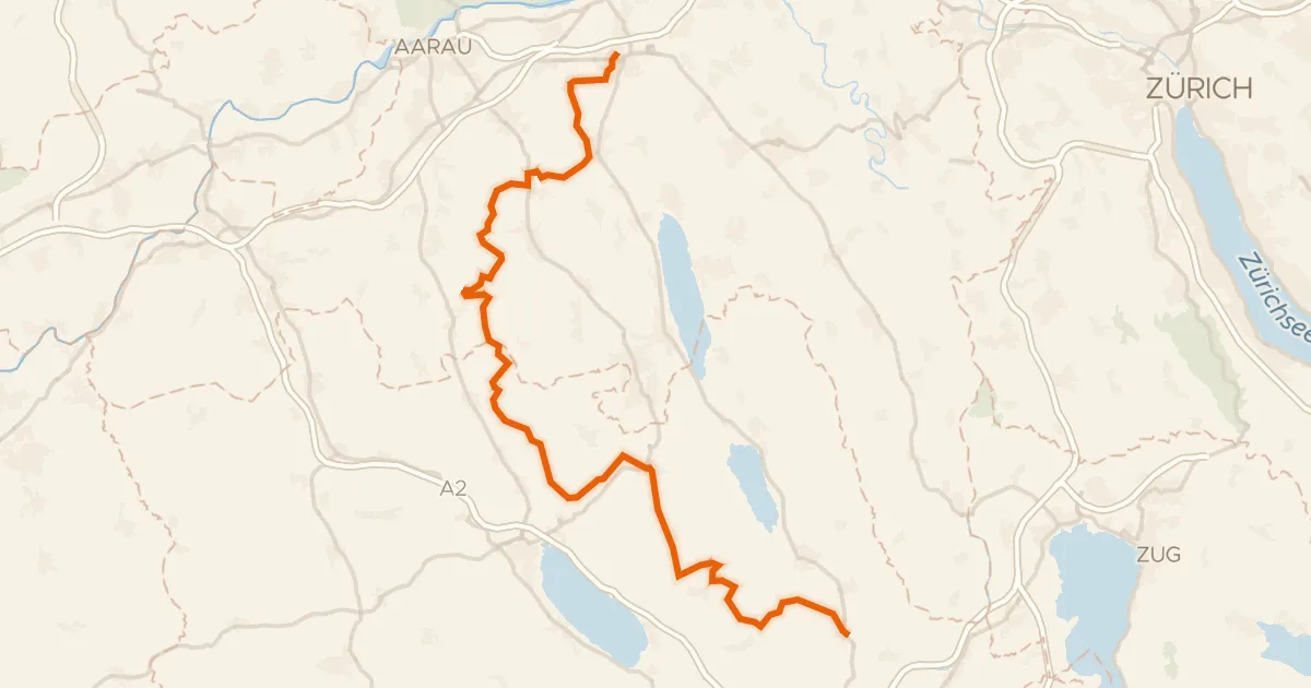
Rondje Baldeggersee en Wyna
Distance
74 km
Ascent
1,439 m
Highest point
829 m
98% paved
Start from your location
Ride there from home: we find the shortest way to the loop and start the loop from there.
The ride
Roll out of Gunzwil and let the route carry you along the Wyna, then the Aabach and the Bünz, three rivers in a row. The Baldeggersee nature reserve waits further on before the road turns for home. With 74.3 km and 1439 m of climbing, it's a day that keeps giving. Back in Gunzwil you'll have earned whatever comes next.
Climbs
Climb 1Hill
1.3 km at 3.9% · max 8.5%
Climb 2Cat. 3
3.3 km at 6.6% · max 14.9%
Climb 3Cat. 4
1.4 km at 7.7% · max 22.4%
Climb 4Hill
1.1 km at 3.7% · max 11.4%
Climb 5Cat. 2
8.8 km at 4.3% · max 14%
Climb 6Cat. 2
6 km at 5.6% · max 18.1%
Routes nearby
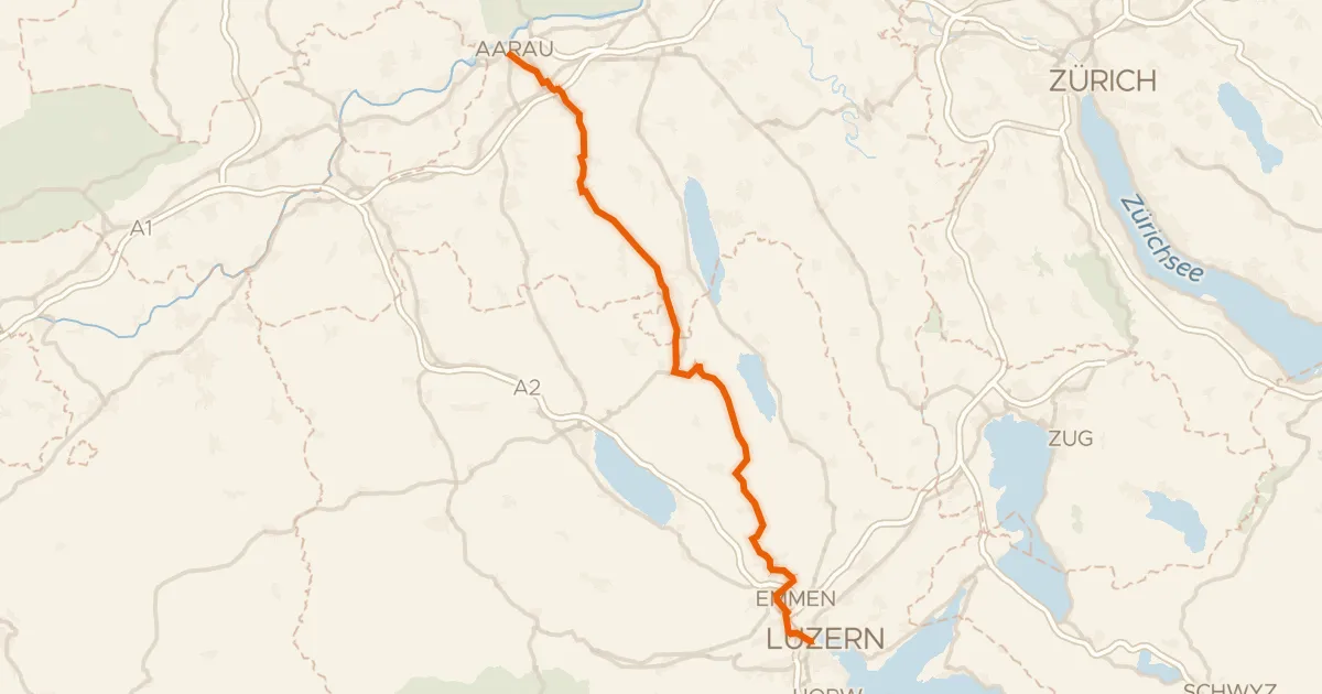
Road bike98% paved
Wynental-Route
57 km↑ 644 m1 km away
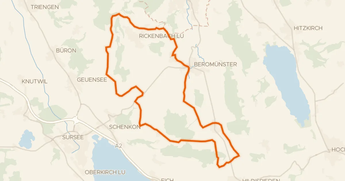
Road bike95% paved
Runde Michaelsamt
30 km↑ 439 m2 km away
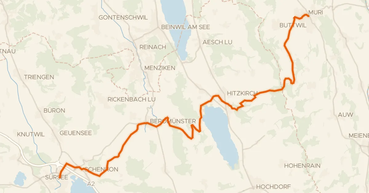
Touring89% paved
Mittelländer Hügelroute
33 km↑ 841 m4 km away
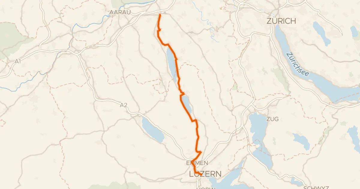
Touring80% paved
Seetal-Bötzberg
50 km↑ 406 m5 km away
Touring77% paved
Herzschlaufe Seetal
65 km↑ 1,292 m6 km away
Bänkelloch · Bööler Passhöchi

Gravel23% paved
Rondje Schloss Hilfikon en Aabach
64 km↑ 1,478 m9 km away