Back to the librarykm 4–9km 15–29km 32–36km 57–58km 58–62km 68–72
Road bikeMade by RouteCasterRound trip
Waterside route past Massiac to Molompize
Distance
73 km
Ascent
1,804 m
Highest point
1,063 m
100% paved
Start from your location
Ride there from home: we find the shortest way to the loop and start the loop from there.
The ride
From Laurie the road climbs straight into the green hills, with 1804 m of elevation gain packed into 73.0 km. The route follows the river L'Alagnon, then keeps the L'Alagnonnette close as the kilometres roll by. Every metre is paved, so the riding stays on tarmac the whole way round. The loop then turns for home and brings you back to Laurie.
Climbs
Climb 1Cat. 3
4.7 km at 4.3% · max 18.6%
Climb 2Cat. 2
13.8 km at 3.3% · max 17.3%
Climb 3Cat. 3
3.8 km at 4.7% · max 8.9%
Climb 4Cat. 4
1 km at 8.1% · max 18.7%
Climb 5Cat. 2
3.5 km at 9.6% · max 17.8%
Climb 6Cat. 3
4.2 km at 7.1% · max 20.2%
Routes nearby

Gravel23% paved
Rondje Ruines du château en L'Allier
59 km↑ 1,708 m18 km away

Gravel31% paved
Rondje Château de Vernières en L'Ander
59 km↑ 1,146 m22 km away

Road bike98% paved
Rondje Château de Cotteuges en La Couze Pavin
77 km↑ 1,690 m22 km away
Road bike98% paved
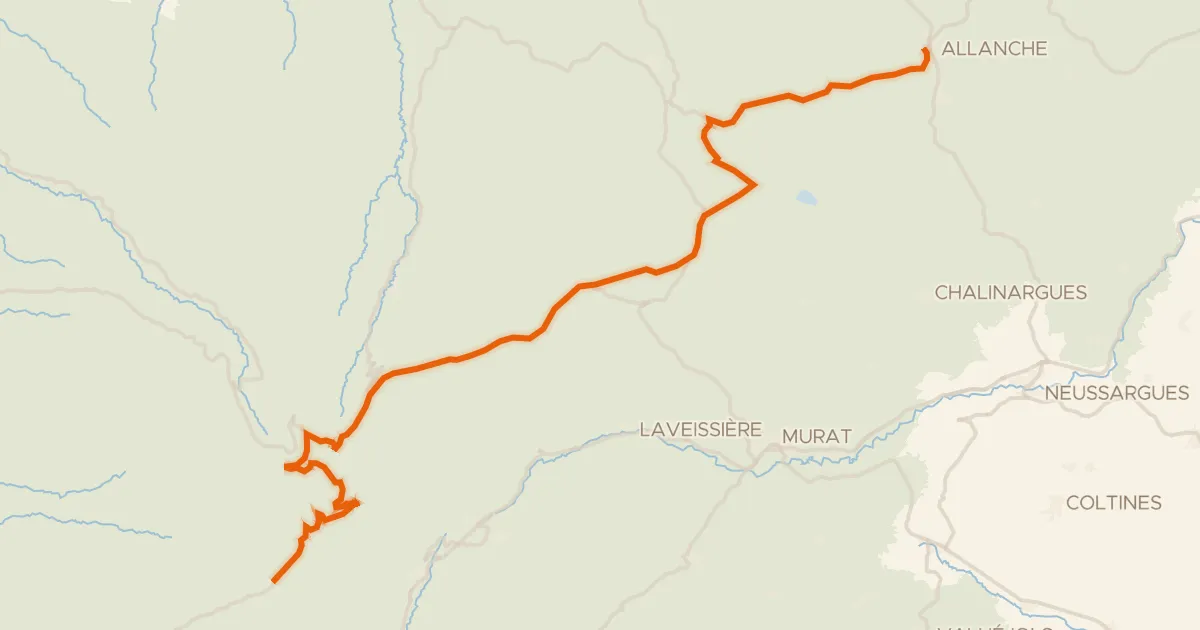
La Grande Traversée du Volcan à Vélo, étape 4, Mandailles-Saint-Julien / Allanche
43 km↑ 1,021 m28 km away
Col d'Eylac · Pas de Peyrol
Road bike100% paved
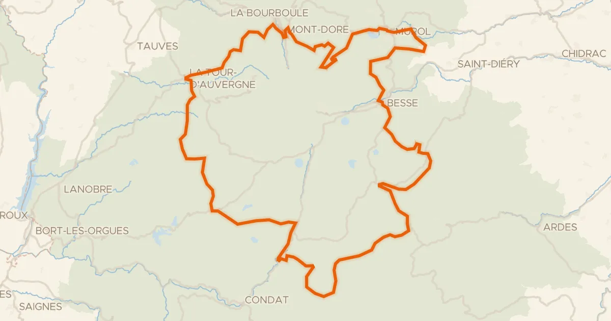
Le 150 km - Cyclo
151 km↑ 3,070 m29 km away
Col de Montgreleix · Col de la Croix Saint-Robert

Road bike99% paved
Rondje Château d'Auzon en La Senouire
80 km↑ 1,452 m30 km away