Back to the librarykm 3–4km 11–11km 20–21km 23–24km 27–28km 30–34km 40–41km 43–44km 44–45km 47–49km 53–54km 57–58km 59–59
GravelMade by RouteCasterRound trip
Rondje Château de Vernières en L'Ander
Distance
59 km
Ascent
1,146 m
Highest point
1,104 m
31% paved
Start from your location
Ride there from home: we find the shortest way to the loop and start the loop from there.
The ride
From Rézentières you roll out on a 59.0 km loop that mixes 31% paved with 68% unpaved. Along the way you pass the castle Château de Vernières, then follow the river L'Ander, before the castle Château de Varillettes comes into view. With 1146 m of climbing spread across the route, the ride keeps unfolding past each of these before bringing you back to Rézentières.
Climbs
Climb 1Hill
0.7 km at 5% · max 8.8%
Climb 2Hill
0.9 km at 3.8% · max 6.4%
Climb 3Hill
1.4 km at 3.6% · max 16.1%
Climb 4Cat. 4
1.8 km at 4.8% · max 10.2%
Climb 5Hill
1.3 km at 5.5% · max 12.4%
Climb 6Cat. 3
4.5 km at 6.3% · max 26.8%
Climb 7Hill
1.6 km at 4.3% · max 8.1%
Climb 8Hill
0.7 km at 4.1% · max 8%
Climb 9Hill
1.5 km at 3.7% · max 9.8%
Climb 10Hill
2.2 km at 3.2% · max 10.1%
Climb 11Hill
0.6 km at 8.3% · max 12.5%
Climb 12Hill
0.6 km at 6.3% · max 9%
Climb 13Hill
0.4 km at 8.9% · max 11.7%
Routes nearby

Road bike100% paved
Rondje Château du Jarry en Château de Paulhac
68 km↑ 861 m21 km away
Road bike98% paved
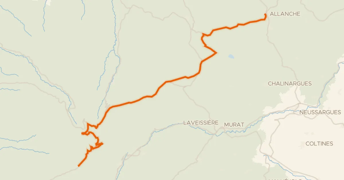
La Grande Traversée du Volcan à Vélo, étape 4, Mandailles-Saint-Julien / Allanche
43 km↑ 1,021 m24 km away
Col d'Eylac · Pas de Peyrol
Road bike100% paved
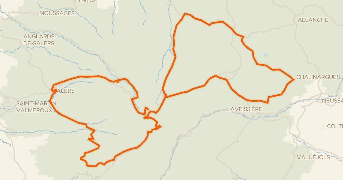
RBX Boucle Volcan du Cantal
139 km↑ 3,272 m31 km away
Col de Bruel · Col de Néronne
Touring
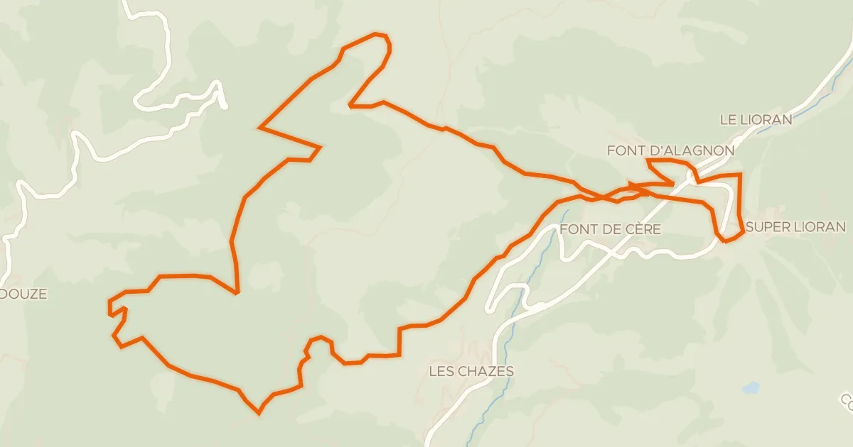
VTT-FFC- N°7 - Tour du Griou
21 km↑ 850 m31 km away
Col du Gliziou · Col de Font de Cère

Gravel35% paved
Langs La Véronne en La Sumène
60 km↑ 1,765 m37 km away

Road bike98% paved
Rondje Château de Cotteuges en La Couze Pavin
77 km↑ 1,690 m38 km away