Back to the librarykm 0–4km 28–31km 31–36km 37–38km 41–44km 59–59km 59–69km 71–72
Road bikeMade by RouteCasterRound trip
Rondje Château de Cotteuges en La Couze Pavin
Distance
77 km
Ascent
1,690 m
Highest point
1,225 m
98% paved
Start from your location
Ride there from home: we find the shortest way to the loop and start the loop from there.
The ride
From Compains, this 76.9 km loop rolls out past the Couze Pavin river and into the Parc naturel régional des Volcans d'Auvergne. Next come the Château de Cotteuges and another castle before the route follows the Couze d'Ardes. The ride closes through the Réserve naturelle du rocher de la Jacquette and back to Compains, with 1690 m of climbing along the way.
Climbs
Climb 1Cat. 3
4.3 km at 4.3% · max 12.7%
Climb 2Cat. 3
3 km at 6.6% · max 29.5%
Climb 3Cat. 3
4.9 km at 5.6% · max 16.3%
Climb 4Hill
1.2 km at 3.8% · max 8.7%
Climb 5Cat. 4
2.4 km at 3.5% · max 11.8%
Climb 6Hill
0.3 km at 11.5% · max 17.3%
Col de la VolpilièreCat. 2
9.8 km at 4.9% · max 23.5%
Climb 8Hill
0.9 km at 4.2% · max 6.5%
Routes nearby
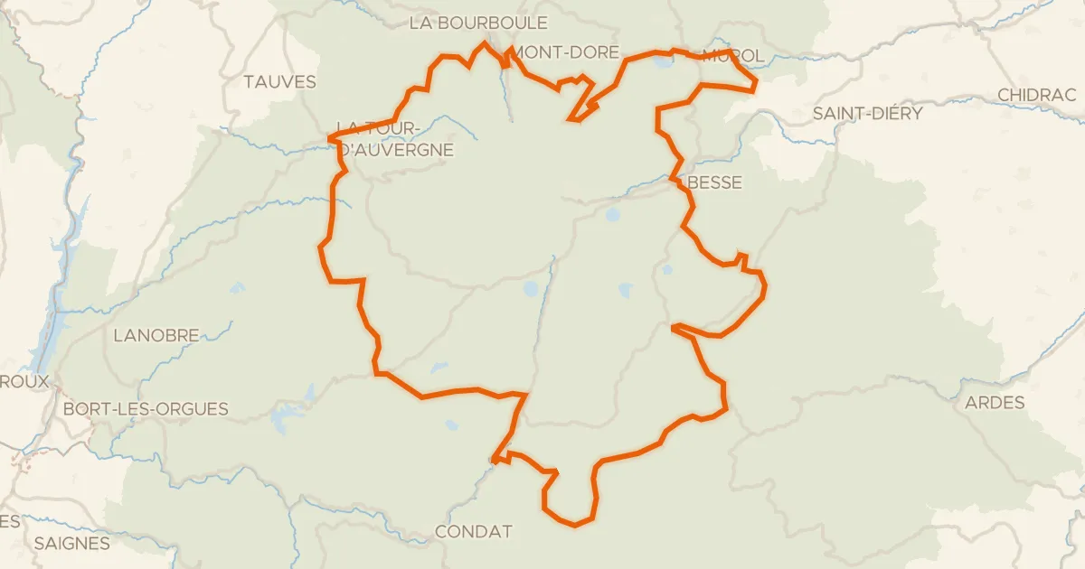
Road bike100% paved
Le 150 km - Cyclo
151 km↑ 3,070 m7 km away
Col de Montgreleix · Col de la Croix Saint-Robert
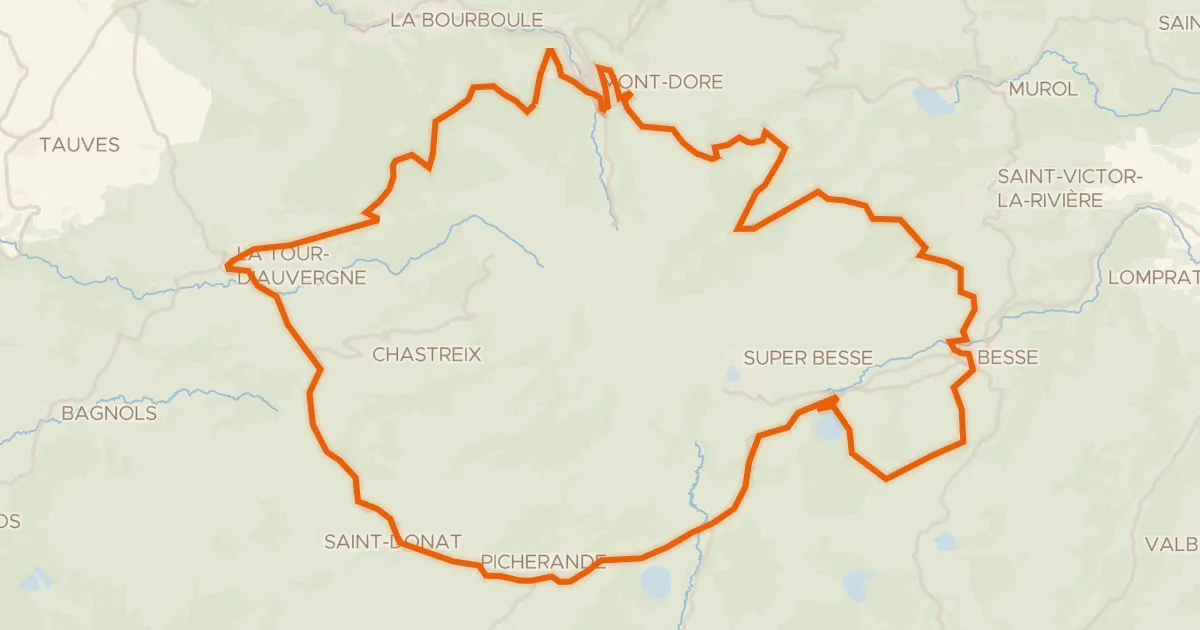
Road bike99% paved
Autour du massif du Sancy - Tour du Sancy
77 km↑ 1,556 m13 km away
Col de la Croix Saint-Robert
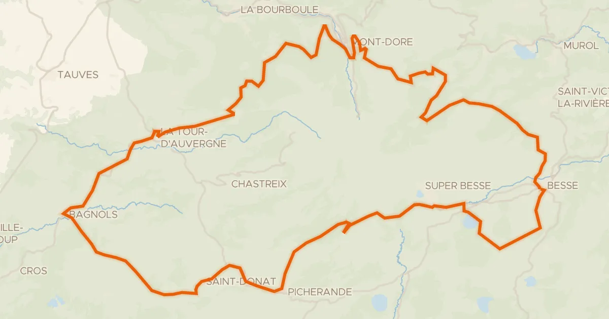
Road bike100% paved
Le tour du Sancy - Cyclo
88 km↑ 1,758 m14 km away
Col de la Geneste · Col de la Croix Saint-Robert

Gravel43% paved
Langs La Dordogne en La Rhue
63 km↑ 1,322 m26 km away
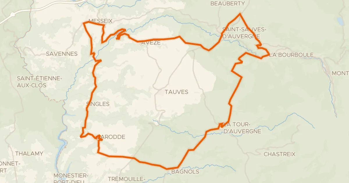
Road bike99% paved
Les gorges d'Avèze - Cyclo
76 km↑ 1,632 m26 km away
Col de la Sœur

Road bike100% paved
Langs La Rhue en La Véronne
72 km↑ 1,440 m26 km away