Back to the librarykm 2–3km 52–55km 56–56km 58–59km 60–62km 63–64km 65–66
GravelMade by RouteCasterRound trip
Waterside ride through Boschetto della Plaia
Distance
66 km
Ascent
652 m
Highest point
251 m
39% paved
Start from your location
Ride there from home: we find the shortest way to the loop and start the loop from there.
The ride
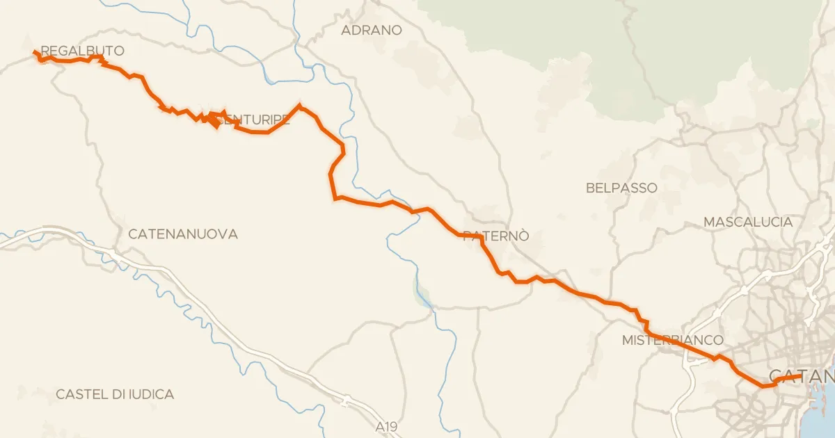
From Motta Sant'Anastasia you roll out on a route of 65.9 km that keeps three rivers company: the Simeto, the Dittaino and the Gornalunga. Between them the way turns mostly unpaved, so the mix of surfaces shifts as you go. Later you pass through the Boschetto della Plaia forest and ride by Castello Ursino castle before the road brings you back to the village where you started.
Climbs
Climb 1Hill
0.9 km at 4.5% · max 9%
Climb 2Cat. 4
2.8 km at 5% · max 11.3%
Climb 3Hill
0.4 km at 8.3% · max 16.6%
Climb 4Hill
0.5 km at 7.8% · max 17%
Climb 5Cat. 4
2.1 km at 6.4% · max 24.1%
Climb 6Hill
0.6 km at 8.3% · max 10.5%
Climb 7Hill
1.2 km at 5.9% · max 8.7%
Routes nearby

Road bike100% paved
Rondje Oasi di Ponte Barca en Parco dell'Etna
75 km↑ 1,513 m11 km away
Touring91% paved
Sicily Divide, Tappa 7
61 km↑ 900 m11 km away
Portella San Lorenzo

Road bike100% paved
Langs de Fiume Dittaino en de Fiume Gornalunga
79 km↑ 360 m18 km away

Road bike99% paved
Rondje Castello Normanno en Oasi di Ponte Barca
72 km↑ 811 m19 km away

Gravel35% paved
Rondje Parco dell'Etna en Bosco di Centorbi
65 km↑ 2,119 m19 km away

Gravel60% paved
Rondje Bosco di Linera en Parco dell'Etna
64 km↑ 1,984 m28 km away