Back to the librarykm 0–24km 60–64
GravelMade by RouteCasterRound trip
Rondje Bosco di Linera en Parco dell'Etna
Distance
64 km
Ascent
1,984 m
Highest point
1,736 m
60% paved
Start from your location
Ride there from home: we find the shortest way to the loop and start the loop from there.
The ride
This ride starts and finishes at Parkeerplaats Bosco di Linera, heading out past the Bosco di Linera nature reserve before rolling on to the Parco urbano di Cosentini. From there the route climbs through the Parco dell'Etna nature reserve and passes the Bosco di Milo nature reserve on its way back. Along the 64.5 km you'll cover 1984 m of elevation gain, with a mix of paved and unpaved surface under your wheels.
Climbs
Climb 1HC
24 km at 6.3% · max 32.2%
Climb 2Cat. 4
4.3 km at 3.7% · max 8.1%
Routes nearby

Road bike100% paved
Rondje Oasi di Ponte Barca en Parco dell'Etna
75 km↑ 1,513 m19 km away

Gravel35% paved
Rondje Parco dell'Etna en Bosco di Centorbi
65 km↑ 2,119 m21 km away

Gravel39% paved
Rondje Castello Ursino en Fiume Simeto
66 km↑ 652 m27 km away
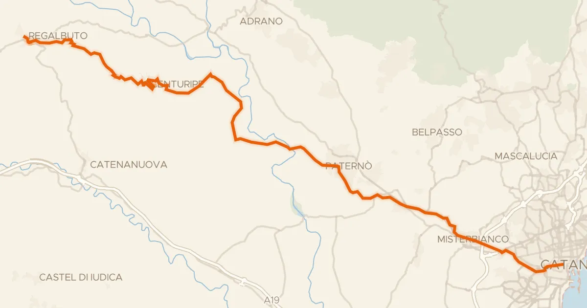
Touring91% paved
Sicily Divide, Tappa 7
61 km↑ 900 m27 km away
Portella San Lorenzo
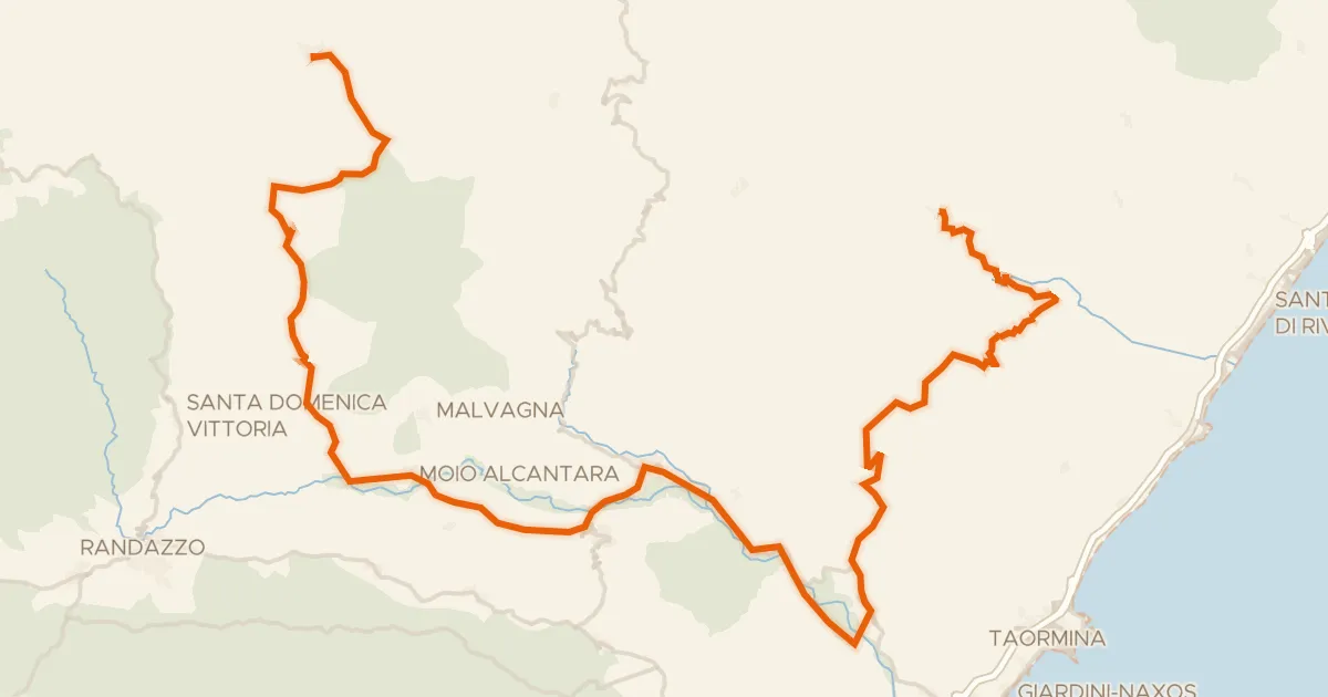
Road bike99% paved
ABT Tappa 39: Antillo - Montalbano Elicona
85 km↑ 2,590 m30 km away
Portella del Vento · Portella Zilla

Road bike99% paved
Rondje Castello Normanno en Oasi di Ponte Barca
72 km↑ 811 m35 km away