Back to the librarykm 0–6km 8–25km 28–33km 40–41km 51–53km 55–56km 62–62
GravelMade by RouteCasterRound trip
Rondje Parco dell'Etna en Bosco di Centorbi
Distance
65 km
Ascent
2,119 m
Highest point
1,839 m
35% paved
Start from your location
Ride there from home: we find the shortest way to the loop and start the loop from there.
The ride
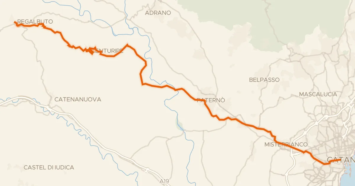
Roll out of Santa Maria di Licovia and let the climbing begin: 64.5 km with 2119 m of elevation gain, most of it on unpaved tracks. The route climbs into Parco dell'Etna, a nature reserve, before winding through Bosco di Centorbi forest. Then it's back down to the village where you started.
Climbs
Climb 1Cat. 3
6.4 km at 4.4% · max 11.1%
Climb 2HC
17 km at 6.1% · max 23.3%
Climb 3Cat. 2
4.8 km at 7.3% · max 18.3%
Climb 4Cat. 4
1.4 km at 6.5% · max 16.8%
Climb 5Cat. 4
1.7 km at 5.6% · max 15.4%
Climb 6Hill
0.7 km at 8.3% · max 15.9%
Climb 7Hill
0.5 km at 6.3% · max 8.1%
Routes nearby
Touring91% paved
Sicily Divide, Tappa 7
61 km↑ 900 m5 km away
Portella San Lorenzo

Road bike100% paved
Rondje Oasi di Ponte Barca en Parco dell'Etna
75 km↑ 1,513 m5 km away

Road bike99% paved
Rondje Castello Normanno en Oasi di Ponte Barca
72 km↑ 811 m11 km away

Road bike98% paved
Rondje Parco dell'Etna en Fiume Simeto
64 km↑ 1,381 m17 km away

Gravel39% paved
Rondje Castello Ursino en Fiume Simeto
66 km↑ 652 m20 km away

Gravel60% paved
Rondje Bosco di Linera en Parco dell'Etna
64 km↑ 1,984 m25 km away