Back to the librarykm 21–23km 23–24km 49–50
GravelMade by RouteCasterRound trip
Waterside between Stübach and Hanbach
Distance
58 km
Ascent
729 m
Highest point
430 m
19% paved
Start from your location
Ride there from home: we find the shortest way to the loop and start the loop from there.
The ride
Roll out of Neustadt an der Aisch and straight into the Naturpark Steigerwald, with the former protection zone of the LSG right behind it. The Aisch and then the Ehebach keep you company as the route unfolds. Of the 57,6 km, most run unpaved, and 729 m of climbing keeps things lively before you roll back into Neustadt.
Climbs
Climb 1Hill
1.4 km at 3.2% · max 10%
Climb 2Hill
1 km at 6.6% · max 10%
Climb 3Hill
1.1 km at 3% · max 12.1%
Routes nearby
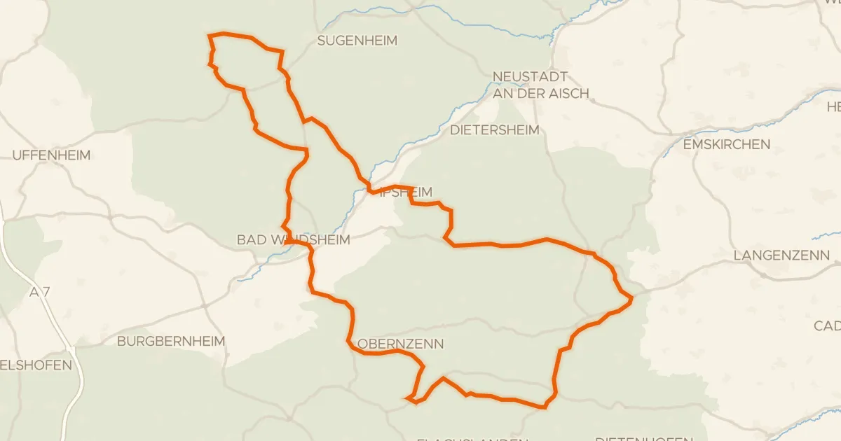
Road bike99% paved
Hills between Obernzenn and Ipsheim
87 km↑ 882 m10 km away
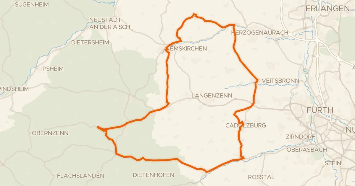
Road bike100% paved
Waterside between Bibert and Zenn
81 km↑ 643 m13 km away
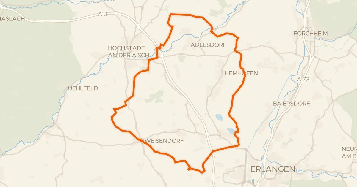
Gravel16% paved
Hills along the Aisch
62 km↑ 589 m22 km away
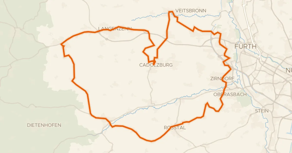
Road bike99% paved
Waterside loop from Cadolzburg to Seckendorf
72 km↑ 586 m23 km away
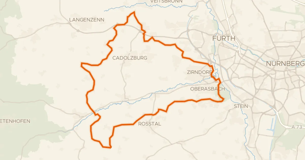
Gravel17% paved
Gravel along the Bibert and Rednitz
63 km↑ 626 m26 km away
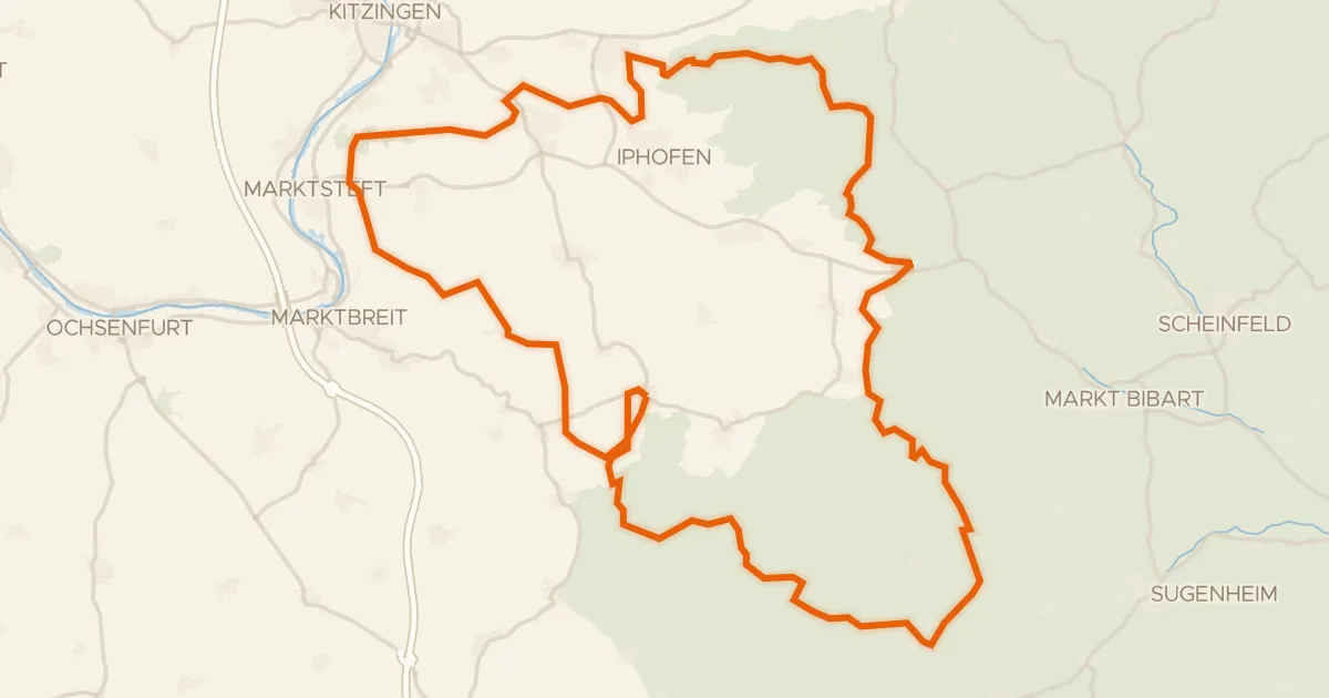
Gravel38% paved
Hills between Schwanberg and Markt Nordheim
79 km↑ 993 m26 km away