Back to the librarykm 2 · Jun 2020 · © mike409 / Mapillary, CC BY-SA km 39 · Dec 2025 · © Felix23 / Mapillary, CC BY-SA km 42 · Dec 2025 · © Felix23 / Mapillary, CC BY-SA km 76 · Jun 2025 · © bct / Mapillary, CC BY-SA
Road bikeMade by RouteCasterRound trip
Waterside between Bibert and Zenn
Distance
81 km
Ascent
643 m
Highest point
443 m
100% paved
Start from your location
Ride there from home: we find the shortest way to the loop and start the loop from there.
The ride
Roll out of Trautskirchen and past the castle, then into the Naturpark Frankenhöhe nature reserve. The route follows the Mittlere Aurach and the Zenn, climbs gently to Burg Cadolzburg castle, and traces the Bibert. With 80.9 km all on paved surface and 643 m of climbing, it loops back to where it began.
Along the way
Routes nearby
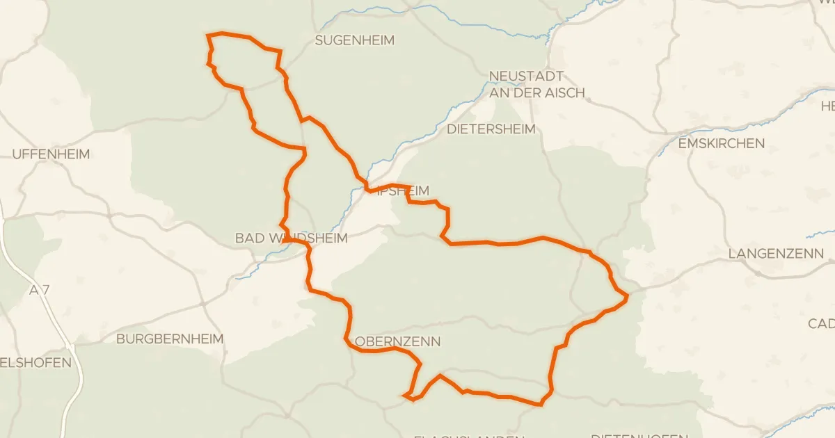
Road bike99% paved
Hills between Obernzenn and Ipsheim
87 km↑ 882 m8 km away
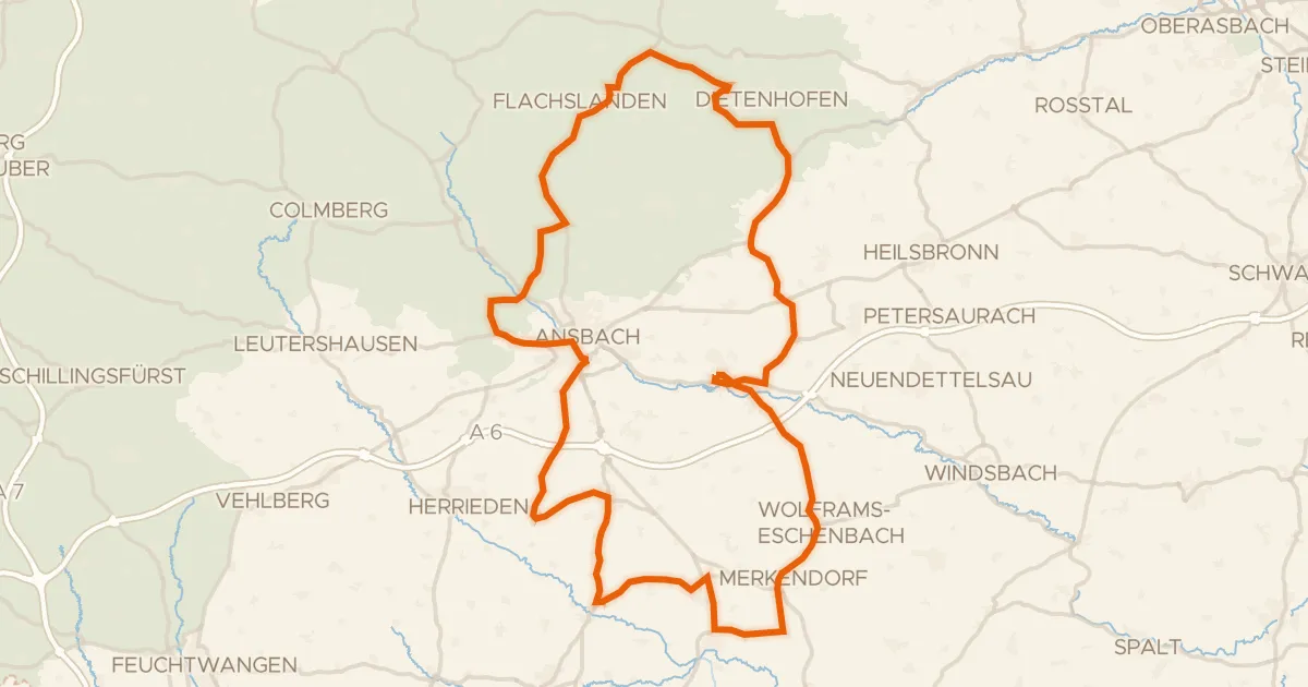
Road bike99% paved
Castles through the Frankenhöhe
98 km↑ 852 m18 km away
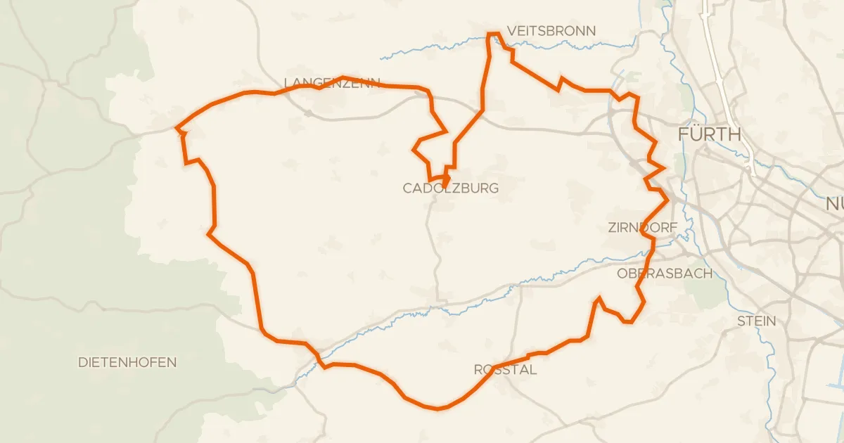
Road bike99% paved
Waterside loop from Cadolzburg to Seckendorf
72 km↑ 586 m18 km away
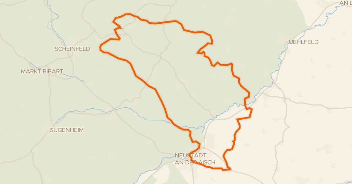
Gravel19% paved
Waterside between Stübach and Hanbach
58 km↑ 729 m19 km away
Gravel17% paved
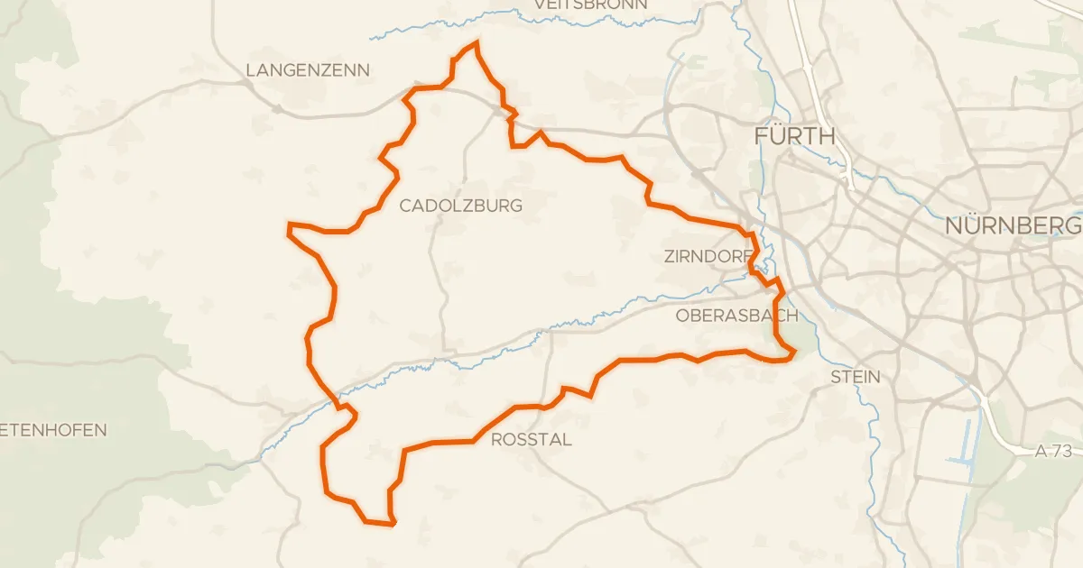
Gravel along the Bibert and Rednitz
63 km↑ 626 m22 km away
Gravel22% paved
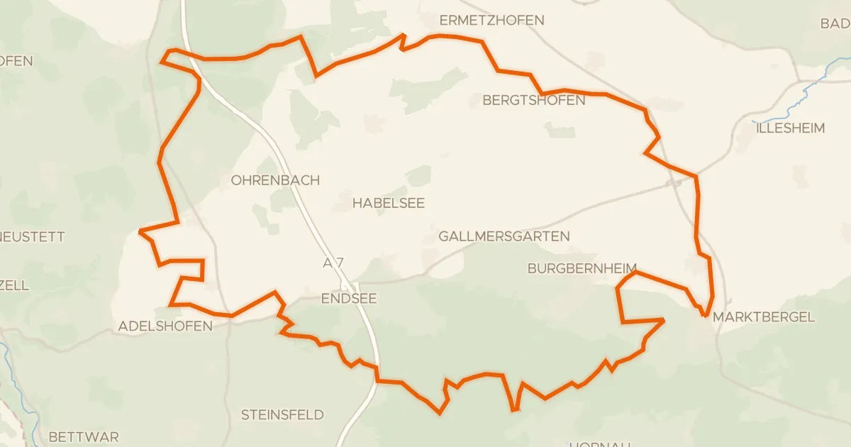
Gravel loop past the Hirschteich
60 km↑ 483 m23 km away