Back to the librarykm 20–20km 30–33
GravelMade by RouteCasterRound trip
Hills along the Aisch
Distance
62 km
Ascent
589 m
Highest point
383 m
16% paved
Start from your location
Ride there from home: we find the shortest way to the loop and start the loop from there.
The ride
Roll out of Weisendorf and let the ride unfold: past the nature reserve at Krausenbechhofen, then along the Aisch river, before the route curves by the Großer Bischofsweiher lake. With 83% unpaved, most of the 62.4 km runs on gravel and dirt, and 589 m of climbing keeps it lively. Back to Weisendorf you roll.
Climbs
Climb 1Hill
0.7 km at 3.8% · max 6.1%
Climb 2Cat. 4
2.7 km at 3.5% · max 11.5%
Routes nearby
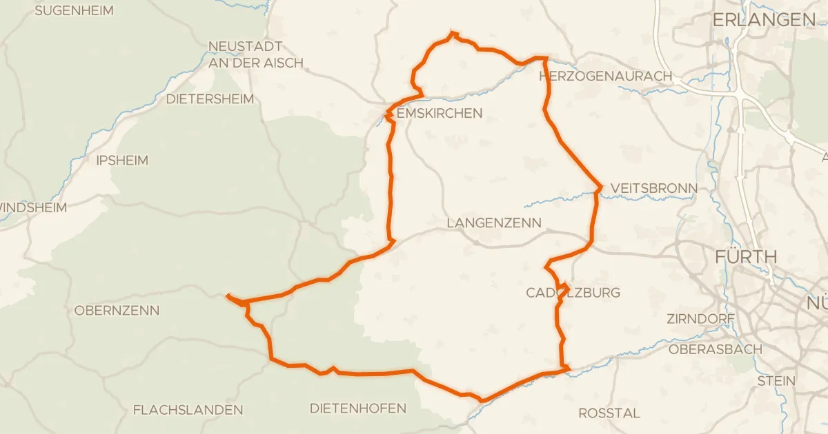
Road bike100% paved
Waterside between Bibert and Zenn
81 km↑ 643 m15 km away
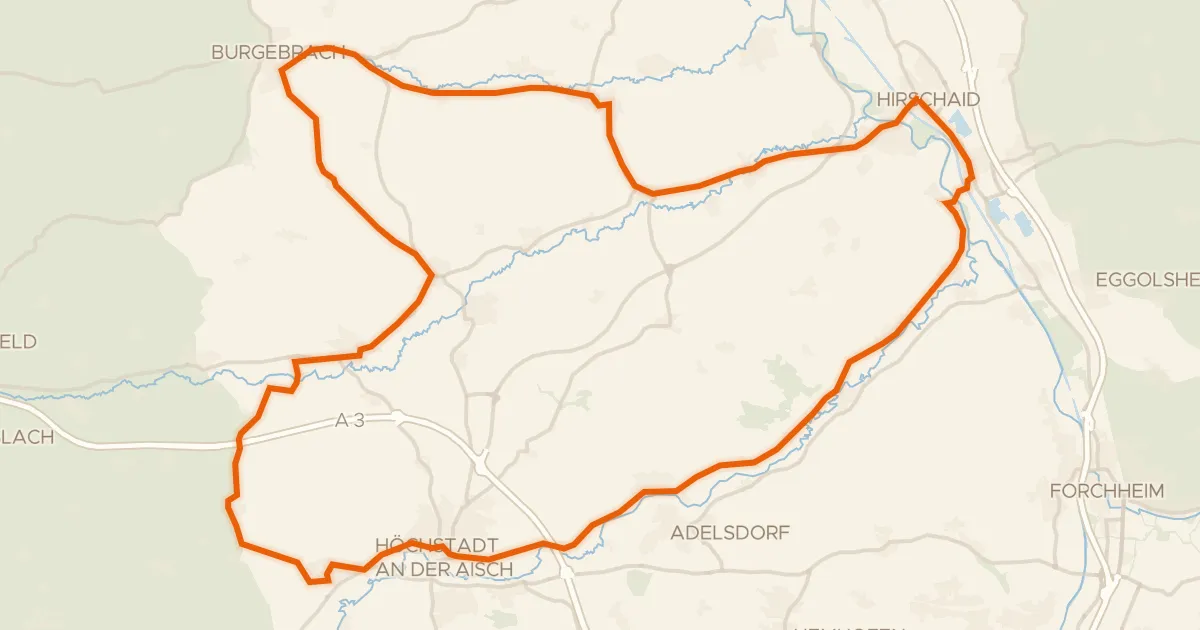
Road bike100% paved
Waterside route between Regnitz and Reiche Ebrach
72 km↑ 427 m16 km away
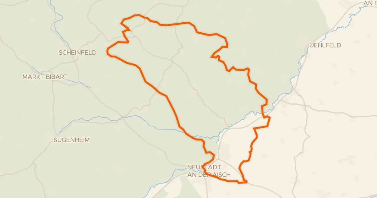
Gravel19% paved
Waterside between Stübach and Hanbach
58 km↑ 729 m17 km away
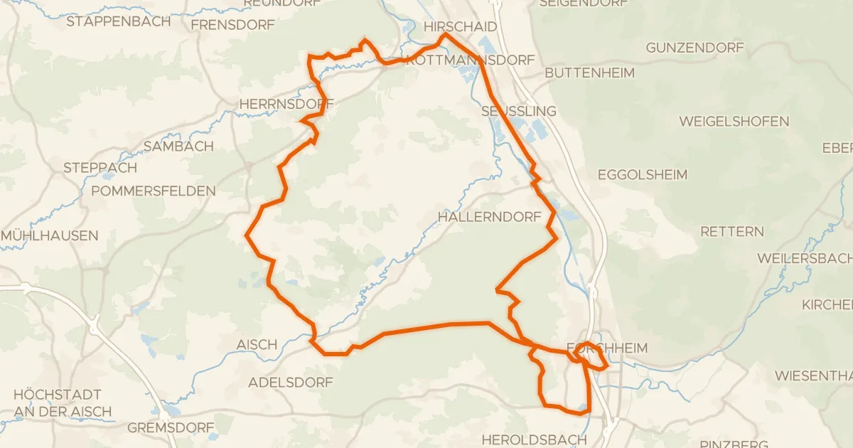
Gravel31% paved
Waterside route from Forchheim to Lauf
57 km↑ 646 m18 km away
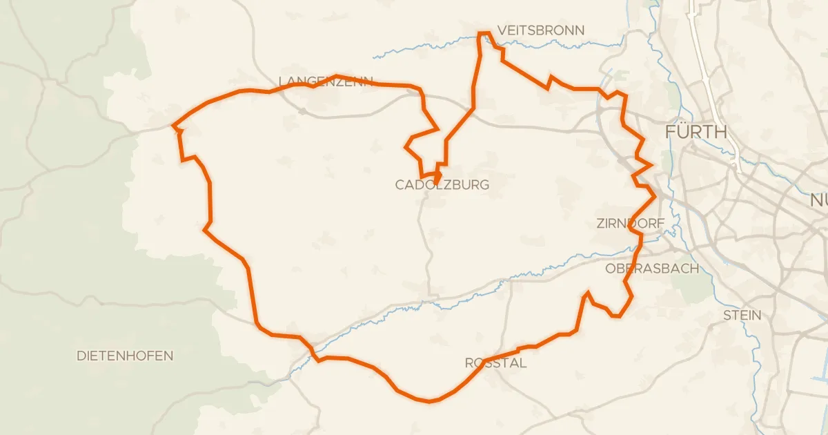
Road bike99% paved
Waterside loop from Cadolzburg to Seckendorf
72 km↑ 586 m20 km away
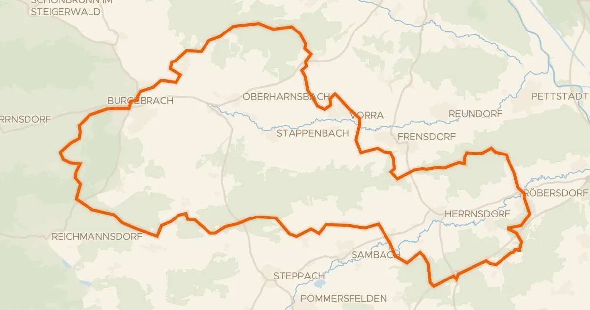
Gravel21% paved
Hills between the Reiche Ebrach and Rauhe Ebrach
57 km↑ 708 m21 km away