Back to the librarykm 8–9km 30–34km 40–40km 52–54km 66–67
GravelMade by RouteCasterRound trip
Hills between Schwanberg and Markt Nordheim
Distance
79 km
Ascent
993 m
Highest point
472 m
38% paved
Start from your location
Ride there from home: we find the shortest way to the loop and start the loop from there.
The ride
Roll out of Hüttenheim and let the ride unfold: past the Marktstefter Tännig nature reserve and the Halbtrockenrasen am Schwanberg, then by Schloss Schwanberg castle. Onward over the Schloßbergsattel bei Markt Einersheim reserve and through the Naturwaldreservat Wolfsee, with Schloss Seehaus castle along the way. Of the 78.6 km, most runs unpaved, and the route climbs 993 m before rolling back to Hüttenheim.
Climbs
Climb 1Hill
1 km at 5.3% · max 12.8%
Climb 2Cat. 3
4 km at 5.5% · max 18.5%
Climb 3Hill
0.8 km at 4% · max 7.5%
Climb 4Cat. 4
2.3 km at 3.8% · max 9.1%
Climb 5Cat. 4
1.4 km at 7% · max 17.5%
Routes nearby
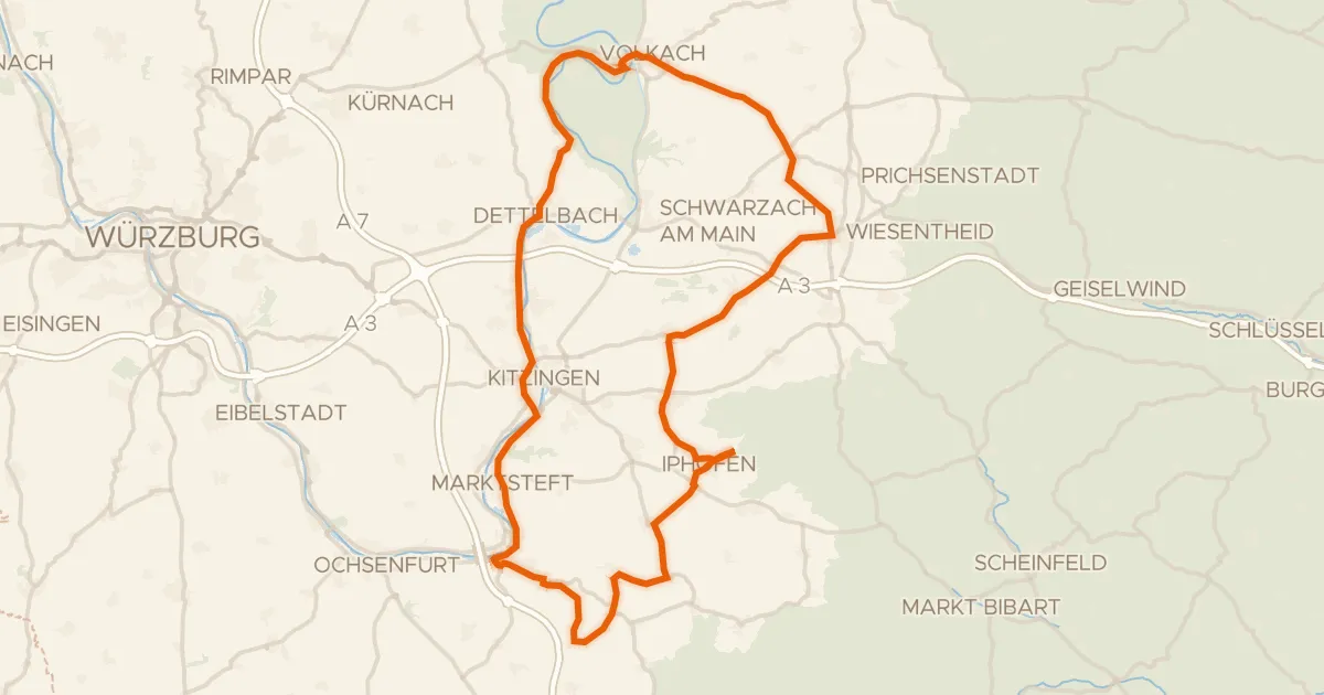
Road bike100% paved
Castles between Mainstockheim and Wässerndorf
83 km↑ 620 m11 km away
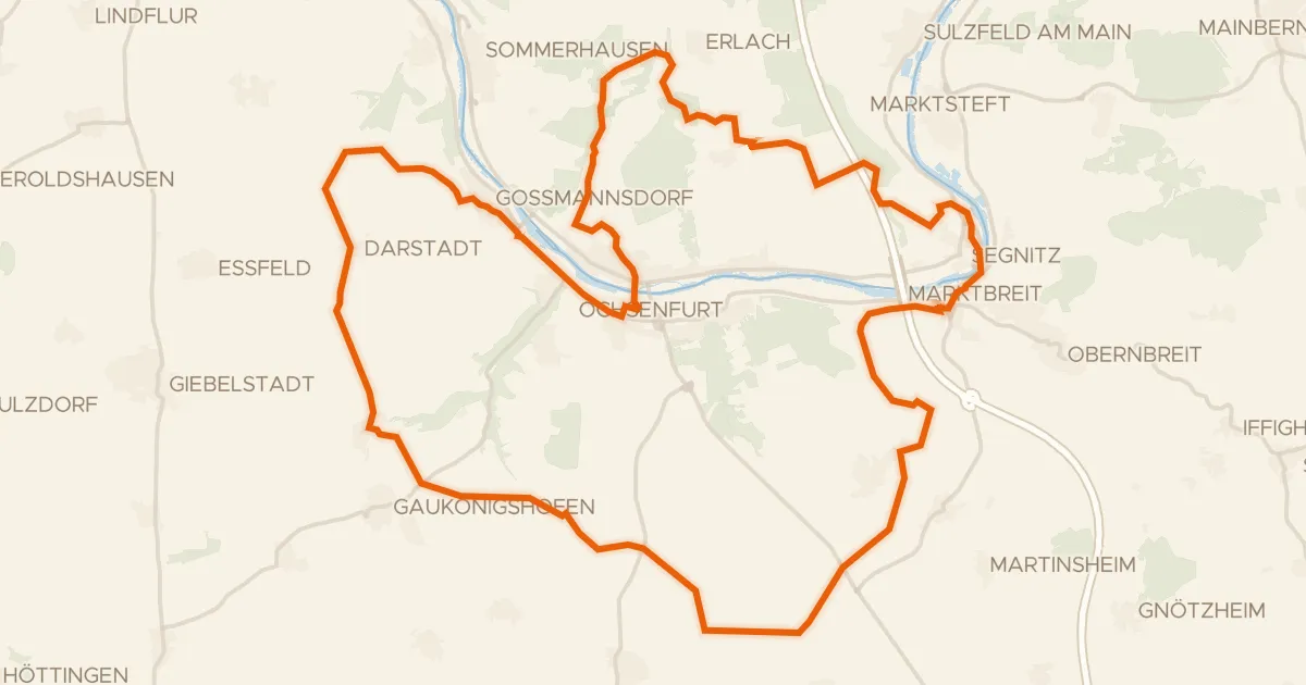
Gravel58% paved
Hilly ride between Ochsenfurt and Marktbreit
54 km↑ 626 m14 km away
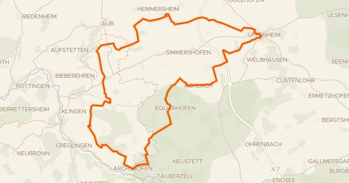
Gravel44% paved
Forest route through the Schlagholz
59 km↑ 495 m18 km away
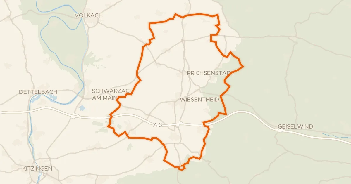
Gravel34% paved
Castle loop through the Steigerwald
63 km↑ 545 m18 km away
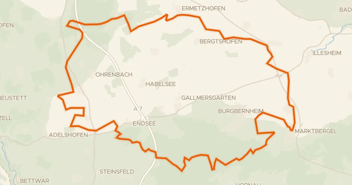
Gravel22% paved
Gravel loop past the Hirschteich
60 km↑ 483 m21 km away
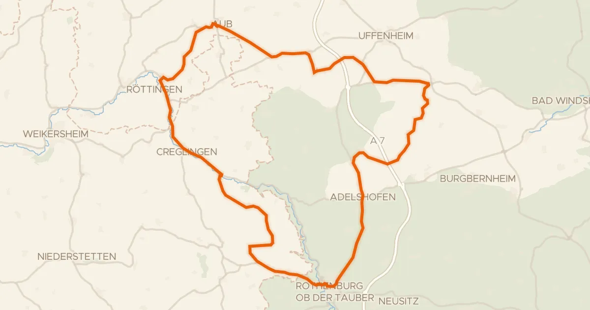
Road bike100% paved
Castle route between Tauber and Oberholz
75 km↑ 668 m22 km away