Back to the librarykm 17 · Jul 2025 · © ottor / Mapillary, CC BY-SA km 42 · Apr 2023 · © electria / Mapillary, CC BY-SA km 67 · Jul 2020 · © changchun1 / Mapillary, CC BY-SA km 8–9km 17–18km 38–38km 43–44
Road bikeMade by RouteCasterRound trip
Castle route between Tauber and Oberholz
Distance
75 km
Ascent
668 m
Highest point
466 m
100% paved
Start from your location
Ride there from home: we find the shortest way to the loop and start the loop from there.
The ride
Roll out of Aub and past Schloss Aub before the route slips into Naturpark Frankenhöhe. Next come Schloss Habelsee and the Vogelfreistätte Großer und Kleiner Lindleinsee, then the Oberholz forest and the Tauber river. With 75.1 km and 668 m of climbing, all of it paved, the road eventually brings you past Schloss Creglingen and back to Aub.
Along the way
Climbs
Climb 1Hill
1.1 km at 3% · max 3.9%
Climb 2Hill
0.9 km at 3.1% · max 5.1%
Climb 3Hill
0.6 km at 4.2% · max 6.1%
Climb 4Cat. 4
1.9 km at 5.9% · max 17.9%
Routes nearby
Gravel44% paved
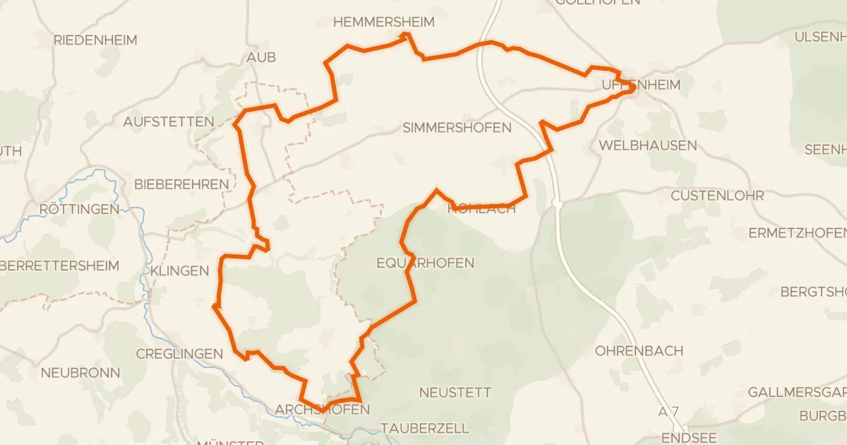
Forest route through the Schlagholz
59 km↑ 495 m7 km away
Gravel58% paved
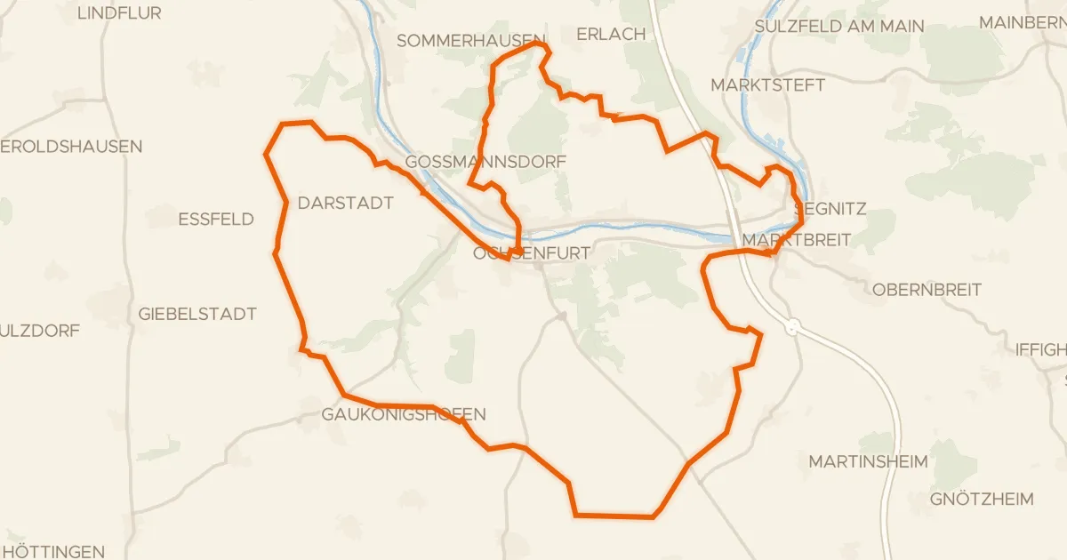
Hilly ride between Ochsenfurt and Marktbreit
54 km↑ 626 m12 km away
Gravel22% paved
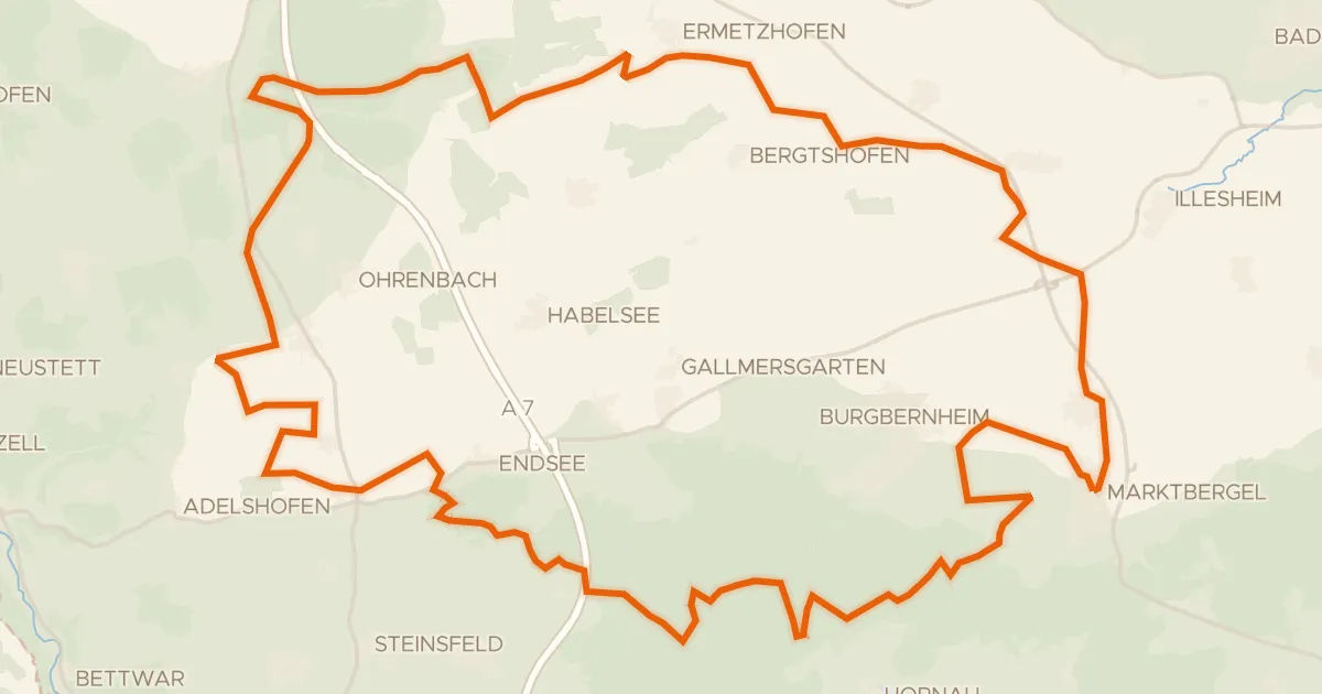
Gravel loop past the Hirschteich
60 km↑ 483 m18 km away
Gravel38% paved
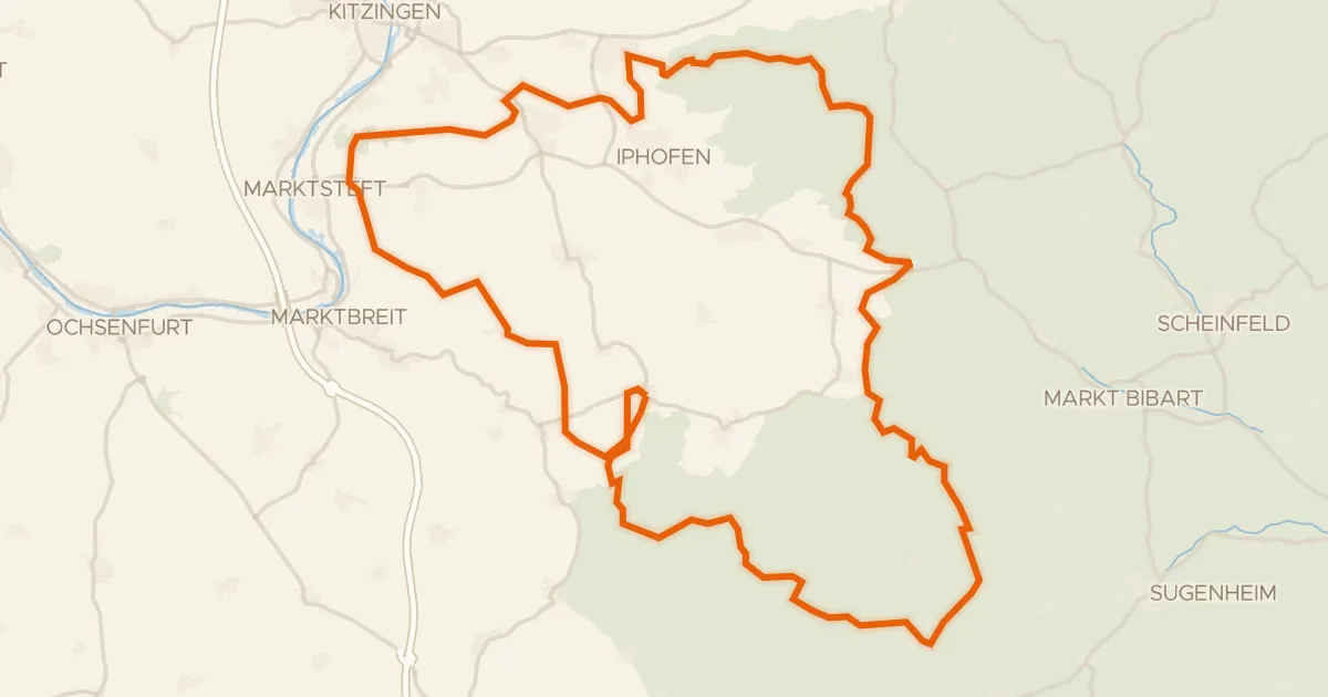
Hills between Schwanberg and Markt Nordheim
79 km↑ 993 m19 km away
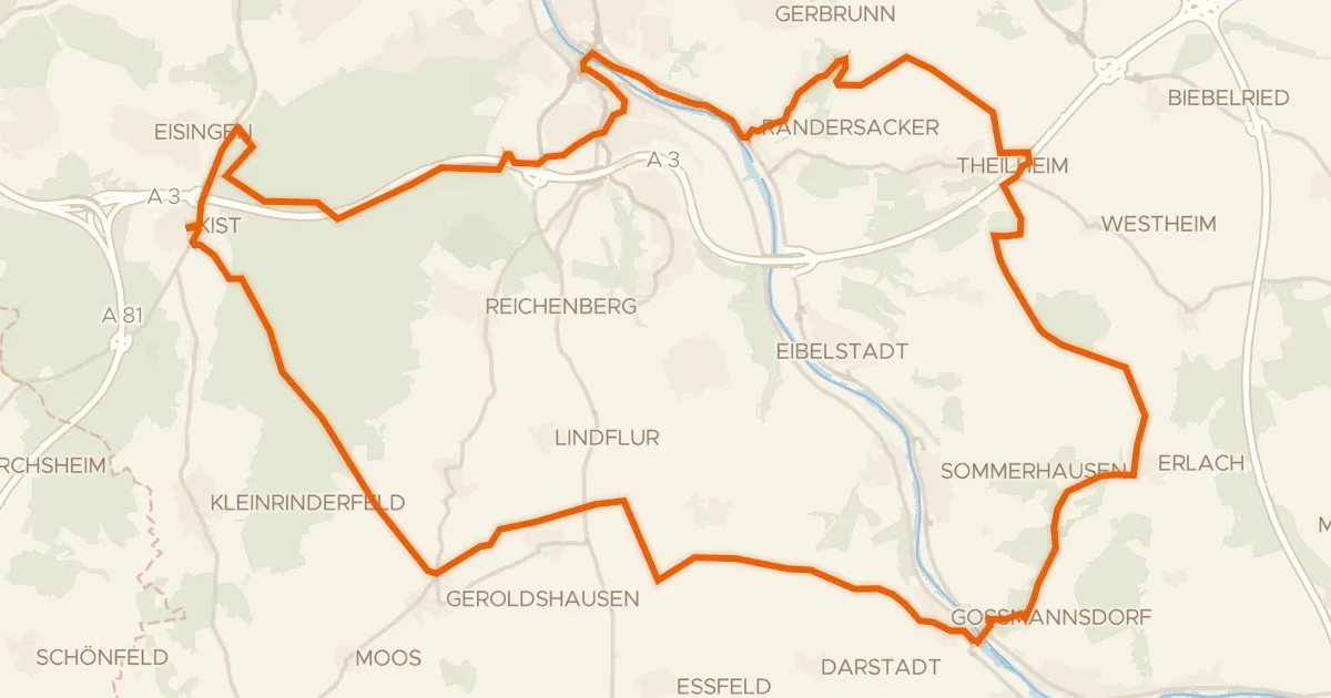
Gravel50% paved
Hills between Randersacker and Erlach
65 km↑ 713 m21 km away
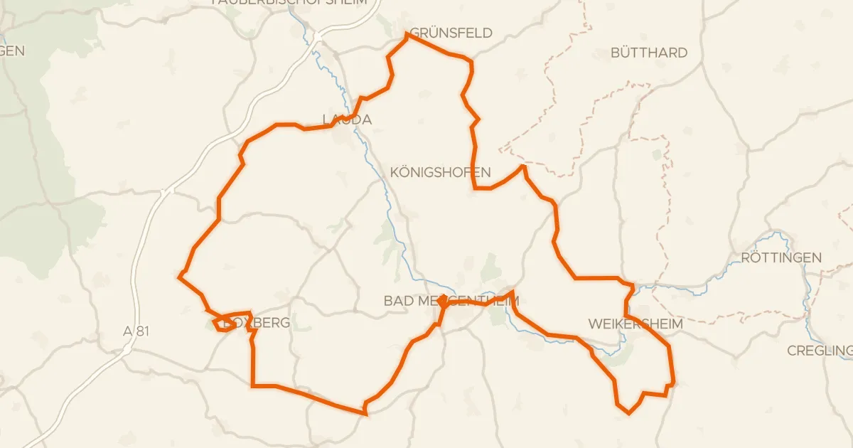
Road bike99% paved
Castles along the Tauber
96 km↑ 1,282 m22 km away