Back to the librarykm 33 · Jan 2023 · © jonsger / Mapillary, CC BY-SA km 59 · Dec 2022 · © mfa / Mapillary, CC BY-SA km 0–3km 5–6km 10–13km 14–15km 15–16km 18–21km 26–27km 37–38km 50–55
GravelRouteCasterRound trip
Rondje Yburg en Eichenhain
Distance
63 km
Ascent
1,215 m
Highest point
478 m
39% paved
Start from your location
Ride there from home: we find the shortest way to the loop and start the loop from there.
The ride
Roll out of Stetten and let the ride unfold: first a viewpoint at the former Rohreck castle, then into the Eichenhain nature reserve and on through the Häslachwald. The Denkendorfer Erlachsee nature reserve and the Stettener Bach nature reserve follow, before the Yburg castle rounds things off ahead of the return to Stetten. Of the 62.6 km, most run unpaved, and 1215 m of climbing keeps the legs honest.
Along the way
Climbs
Climb 1Cat. 3
2.5 km at 7.8% · max 28.4%
Climb 2Hill
0.8 km at 8.2% · max 14.3%
Climb 3Cat. 3
3.9 km at 4.4% · max 25.1%
Climb 4Hill
0.8 km at 4.7% · max 8.3%
Climb 5Hill
1 km at 3.7% · max 13%
Climb 6Cat. 3
3.2 km at 5.9% · max 27.5%
Climb 7Hill
1.1 km at 4.1% · max 13.7%
Climb 8Hill
1 km at 3% · max 9.9%
Climb 9Cat. 3
5.5 km at 3.9% · max 13.7%
Routes nearby
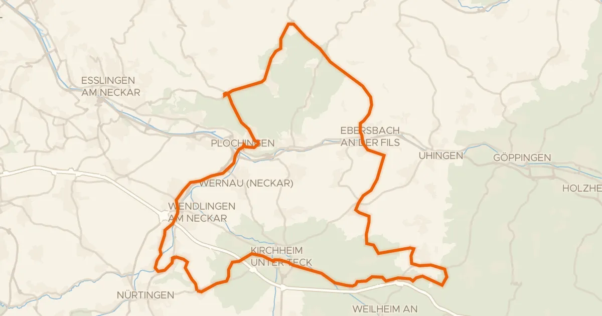
Road bike99% paved
Rondje Jubiläumsturm en Teufelsloch-Kaltenwang
75 km↑ 793 m14 km away
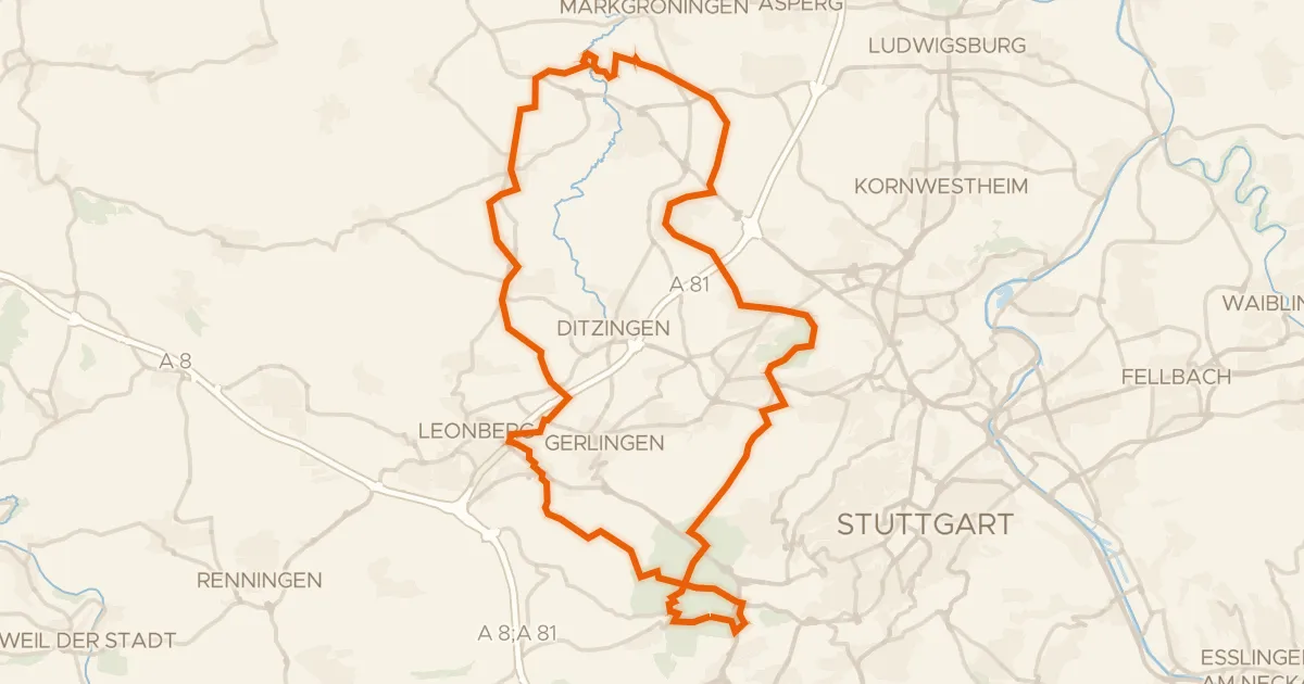
Gravel46% paved
Rondje Münchinger Schloss en Rotwildpark bei Stuttgart
61 km↑ 816 m19 km away
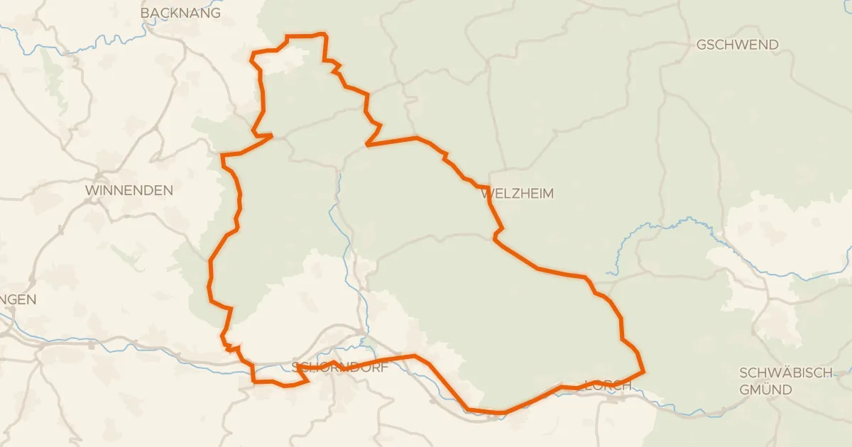
Road bike98% paved
Rondje Burgschloss en Lorcher Baggerseen
75 km↑ 1,055 m19 km away
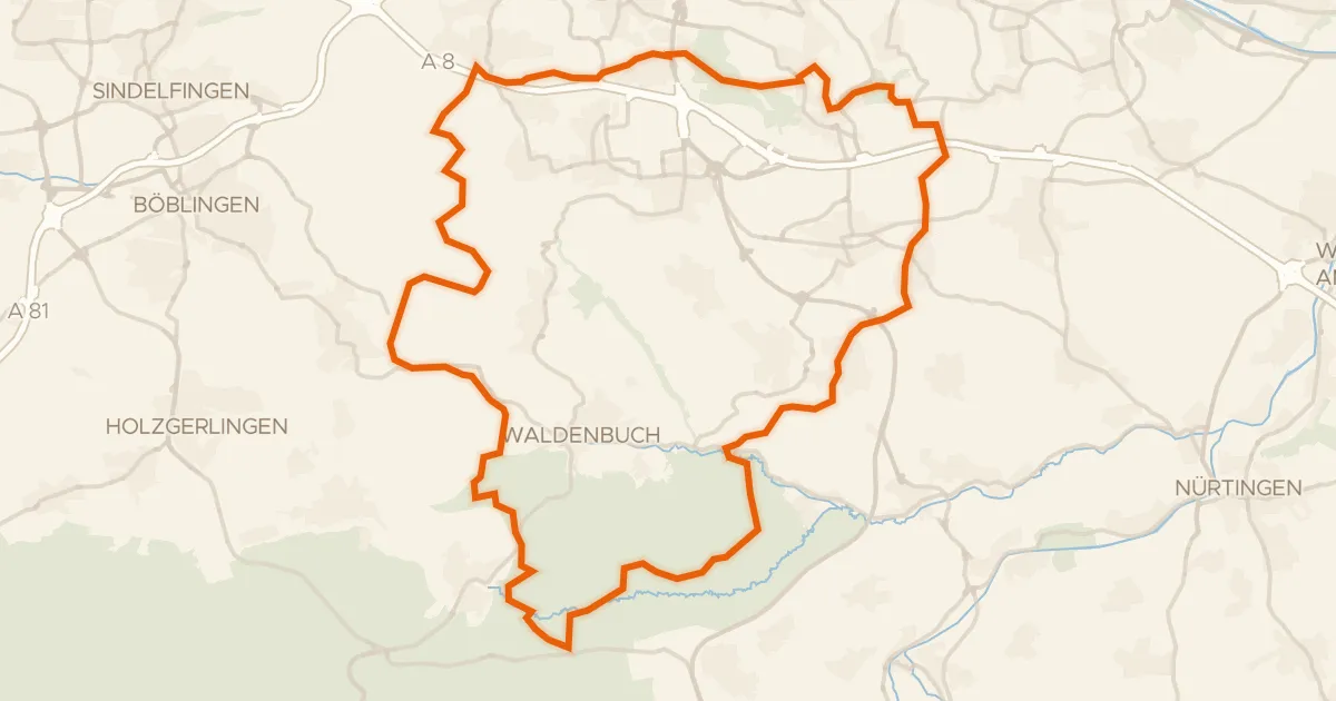
Gravel31% paved
Rondje Schloss Hohenheim en Häslachwald
62 km↑ 977 m20 km away
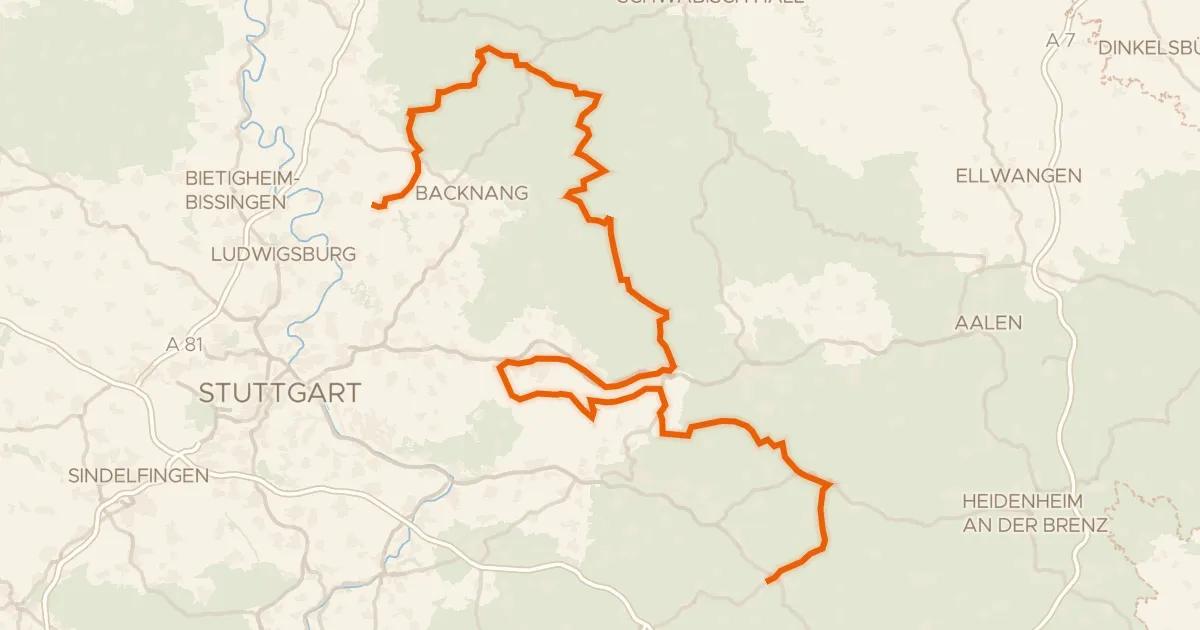
Touring85% paved
E-Bike-Region Stuttgart (Nordost)
184 km↑ 2,826 m21 km away
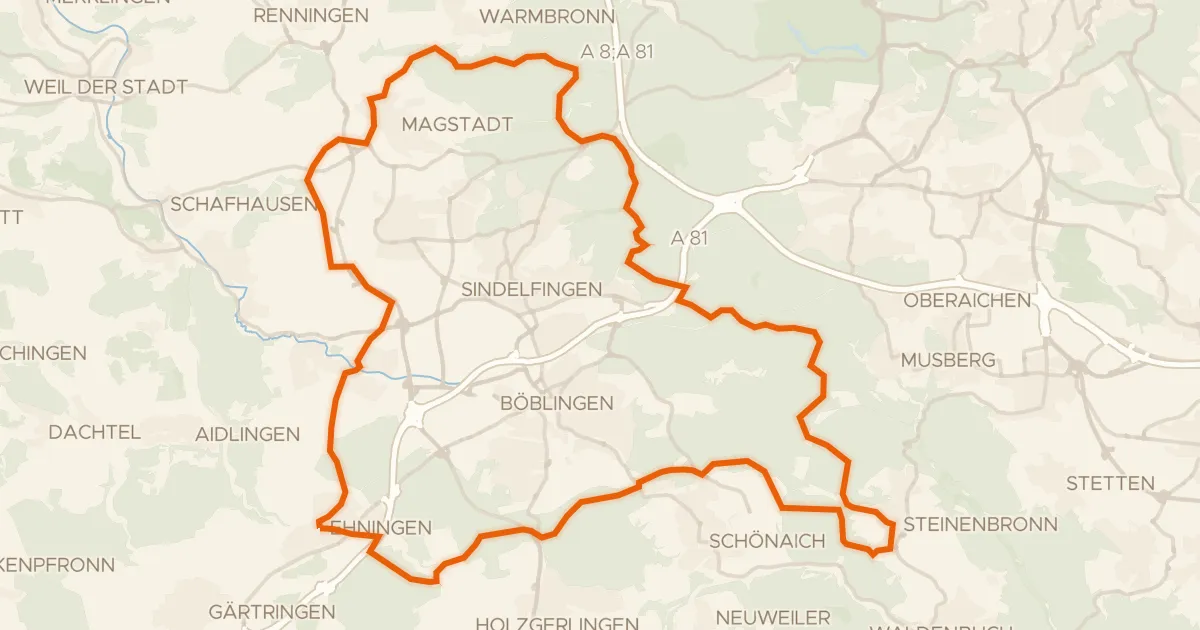
Gravel35% paved
Rondje Ehninger Schloss en Hohenwart
63 km↑ 934 m25 km away