Back to the librarykm 4 · Aug 2025 · © mfa / Mapillary, CC BY-SA km 28 · Jan 2022 · © mfa / Mapillary, CC BY-SA km 38 · Feb 2020 · © mfa / Mapillary, CC BY-SA km 54 · Aug 2019 · © mfa / Mapillary, CC BY-SA km 17–17km 18–18km 20–20km 23–24km 27–28km 37–37km 42–44km 46–47
GravelRouteCasterRound trip
Rondje Ehninger Schloss en Hohenwart
Distance
63 km
Ascent
934 m
Highest point
539 m
35% paved
Start from your location
Ride there from home: we find the shortest way to the loop and start the loop from there.
The ride
Roll out of Ehningen and the ride unfolds through the Oberes Hölzertal nature reserve, then the Hinteres Sommerhofental, before climbing into the Hohenwart forest. On the way back you pass the Waldwiese im Mahdental nature reserve and the Ehninger Schloss castle. With 934 m of climbing across 62.9 km, it's a loop that keeps the legs honest, mixing paved and unpaved ground from start to finish back in Ehningen.
Along the way
Climbs
Climb 1Hill
0.6 km at 4.8% · max 7.9%
Climb 2Hill
0.8 km at 7% · max 10.6%
Climb 3Hill
0.8 km at 4% · max 11.6%
Climb 4Cat. 4
0.9 km at 10.3% · max 20.3%
Climb 5Hill
1.1 km at 4.3% · max 13.9%
Climb 6Hill
0.4 km at 6.8% · max 13.5%
Climb 7Cat. 4
2.3 km at 3.6% · max 13.6%
Climb 8Hill
1.5 km at 3.8% · max 10.2%
Routes nearby
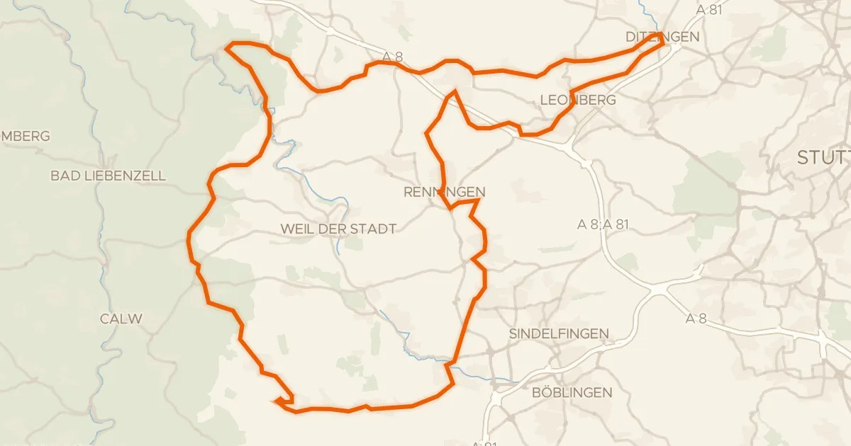
Road bike97% paved
Rondje Schloss Höfingen en Würm-Heckengäu
88 km↑ 1,114 m10 km away
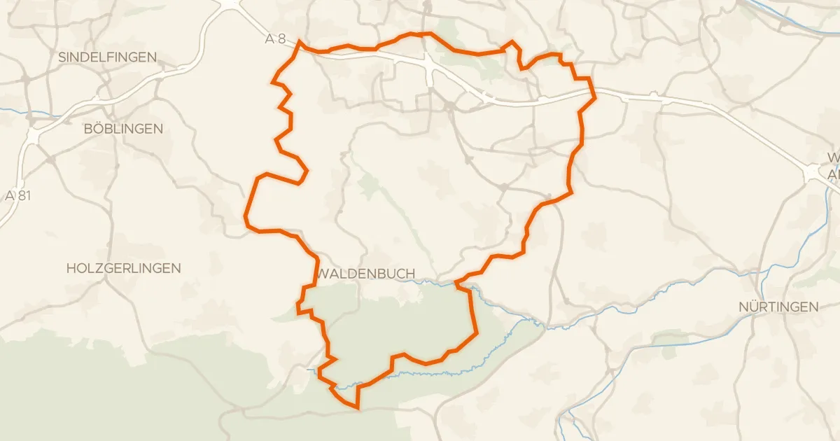
Gravel31% paved
Rondje Schloss Hohenheim en Häslachwald
62 km↑ 977 m16 km away
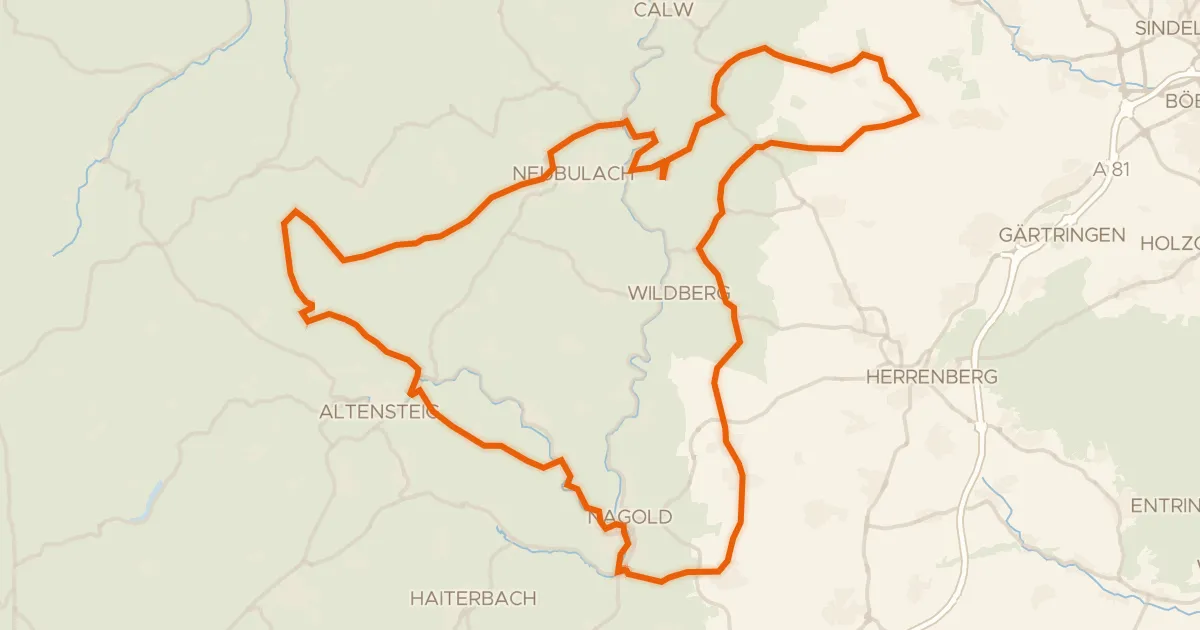
Road bike98% paved
Rondje Burg Hohennagold en Teufels Hirnschale
90 km↑ 1,446 m17 km away
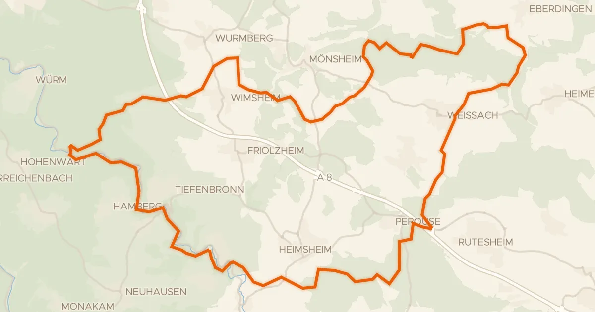
Gravel37% paved
Rondje Burg Steinegg en Unteres Würmtal
56 km↑ 898 m20 km away
Gravel46% paved
Rondje Münchinger Schloss en Rotwildpark bei Stuttgart
61 km↑ 816 m21 km away
Gravel22% paved
Rondje Burg Hornberg en Nagold
60 km↑ 1,176 m22 km away