Back to the librarykm 24 · Feb 2021 · © mfa / Mapillary, CC BY-SA km 35 · Apr 2021 · © tasmaniadevil / Mapillary, CC BY-SA km 53 · Jun 2026 · © bct / Mapillary, CC BY-SA km 10–11km 13–14km 28–30km 33–35km 44–46km 59–61
GravelRouteCasterRound trip
Rondje Schloss Hohenheim en Häslachwald
Distance
62 km
Ascent
977 m
Highest point
504 m
31% paved
Start from your location
Ride there from home: we find the shortest way to the loop and start the loop from there.
The ride
This 61.6 km loop rolls out of Parkeerplaats Weidach- und Zettachwald and back again. You spin through the Weidach- und Zettachwald nature reserve, past the Waldwiese im Mahdental and Neuweiler Viehweide reserves, then into the Häslachwald. After the Monopteros viewpoint comes Schloss Hohenheim, with 977 m of climbing along the way and most of the riding on unpaved surface.
Along the way
Climbs
Climb 1Hill
0.5 km at 6.9% · max 10.7%
Climb 2Hill
0.4 km at 6.8% · max 13.2%
Climb 3Cat. 4
2.4 km at 3.6% · max 12%
Climb 4Cat. 4
1.9 km at 6.1% · max 17.9%
Climb 5Cat. 4
1.8 km at 7.3% · max 16%
Climb 6Hill
1.5 km at 4.1% · max 10.2%
Routes nearby
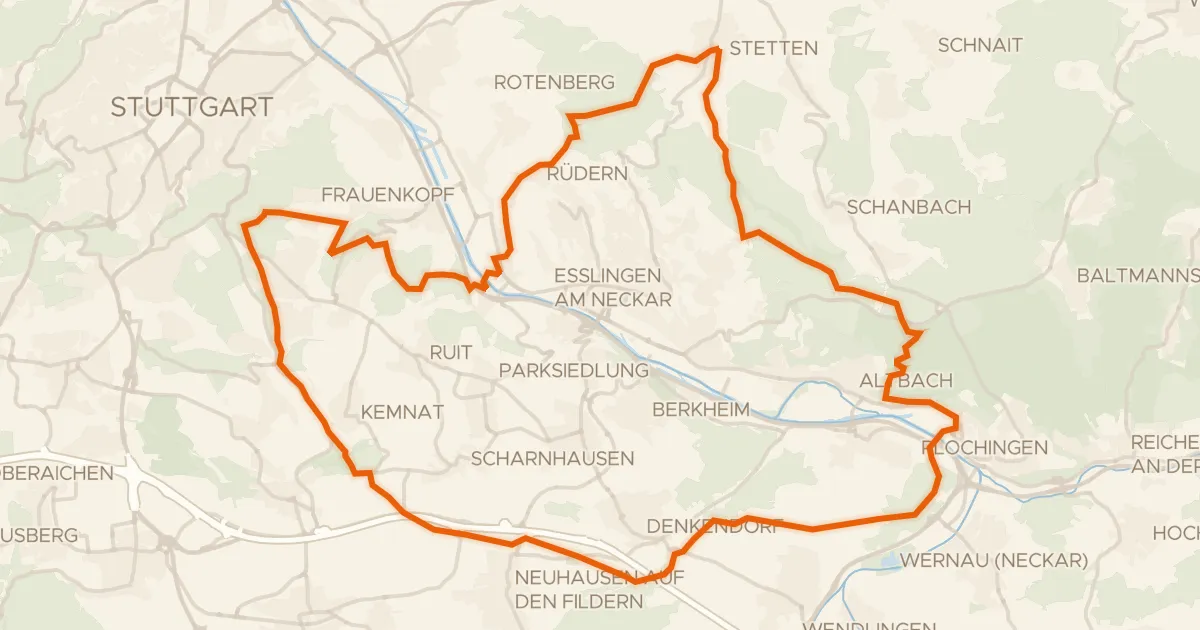
Gravel39% paved
Rondje Yburg en Eichenhain
63 km↑ 1,215 m8 km away
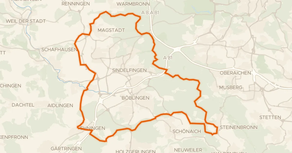
Gravel35% paved
Rondje Ehninger Schloss en Hohenwart
63 km↑ 934 m13 km away
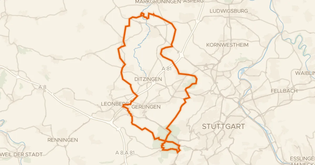
Gravel46% paved
Rondje Münchinger Schloss en Rotwildpark bei Stuttgart
61 km↑ 816 m15 km away
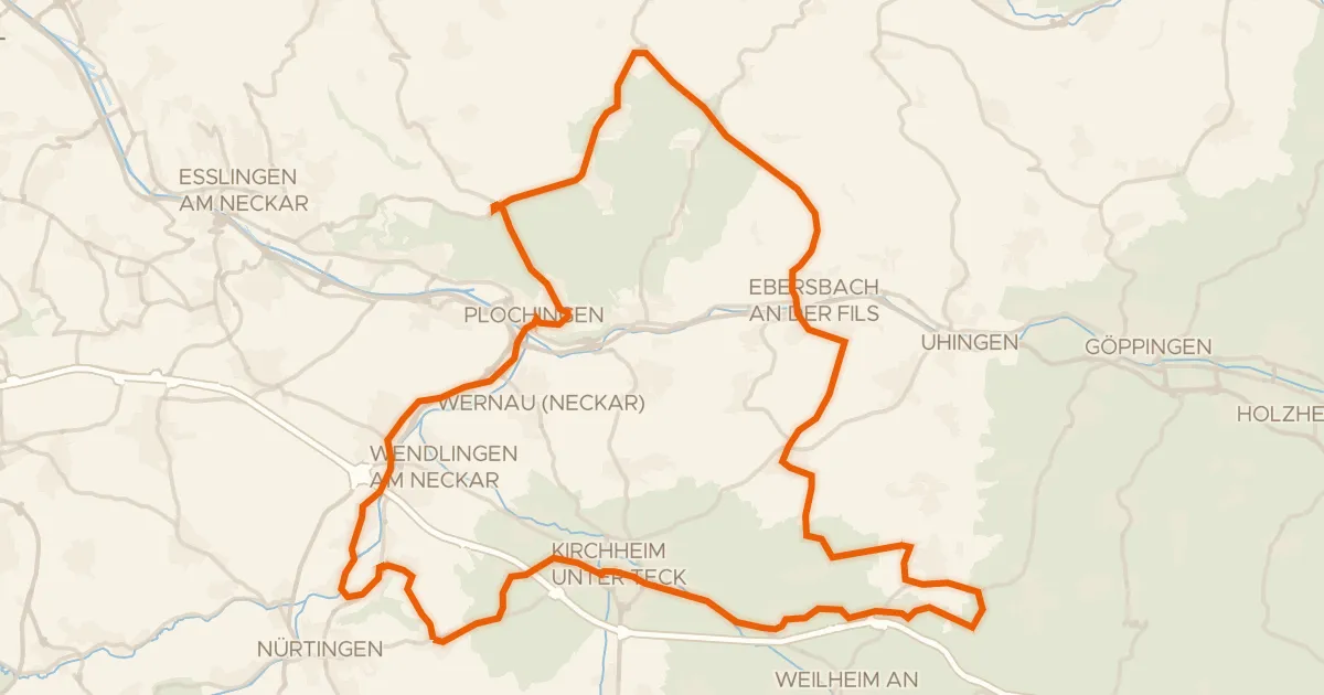
Road bike99% paved
Rondje Jubiläumsturm en Teufelsloch-Kaltenwang
75 km↑ 793 m20 km away
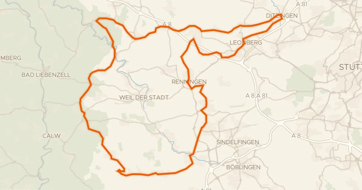
Road bike97% paved
Rondje Schloss Höfingen en Würm-Heckengäu
88 km↑ 1,114 m21 km away
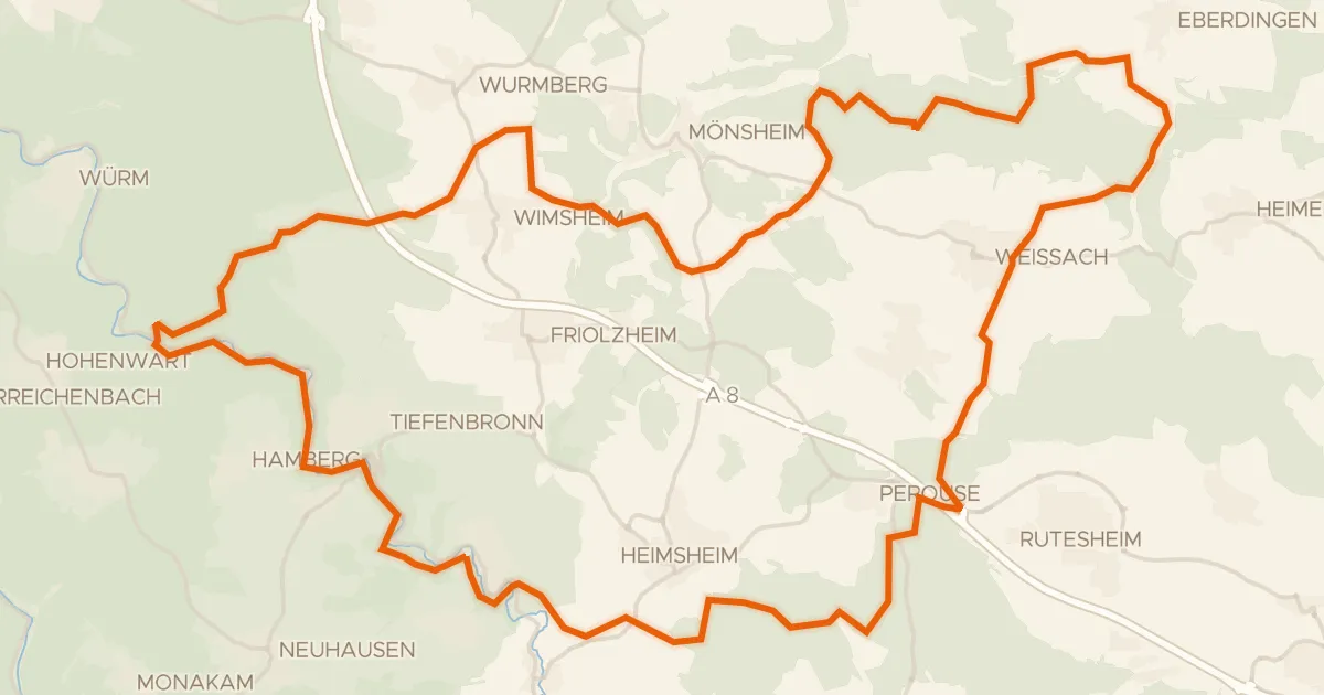
Gravel37% paved
Rondje Burg Steinegg en Unteres Würmtal
56 km↑ 898 m29 km away