Back to the librarykm 8 · Jun 2024 · © tasmaniadevil / Mapillary, CC BY-SA km 30 · Apr 2026 · © bct / Mapillary, CC BY-SA km 55 · Jul 2026 · © lin_wang / Mapillary, CC BY-SA km 64 · Jun 2026 · © bct / Mapillary, CC BY-SA km 26–27
Road bikeRouteCasterRound trip
Rondje Jubiläumsturm en Teufelsloch-Kaltenwang
Distance
75 km
Ascent
793 m
Highest point
495 m
99% paved
Start from your location
Ride there from home: we find the shortest way to the loop and start the loop from there.
The ride
Roll out of Reudern and let the ride unfold: first past the Grienwiesen nature reserve by the Schüle-See, then along the Neckarwasen and the Wernauer Baggerseen. After the Jubiläumsturm viewpoint comes the Teufelsloch-Kaltenwang nature reserve, before the route loops back to Reudern. It's 74.7 km with 793 m of climbing, almost all of it paved.
Along the way
Climbs
Climb 1Hill
1.2 km at 3.2% · max 6.5%
Routes nearby
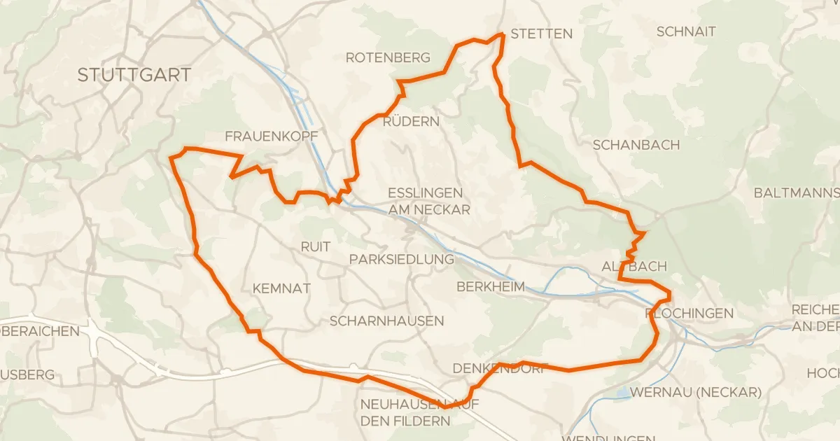
Gravel39% paved
Rondje Yburg en Eichenhain
63 km↑ 1,215 m13 km away
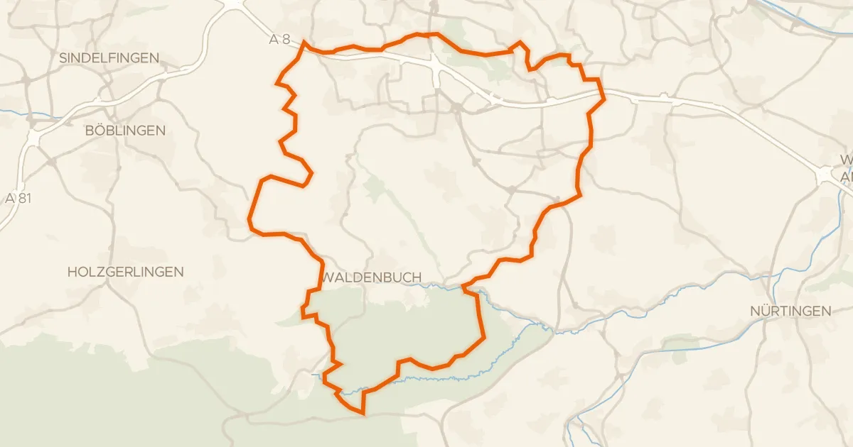
Gravel31% paved
Rondje Schloss Hohenheim en Häslachwald
62 km↑ 977 m17 km away
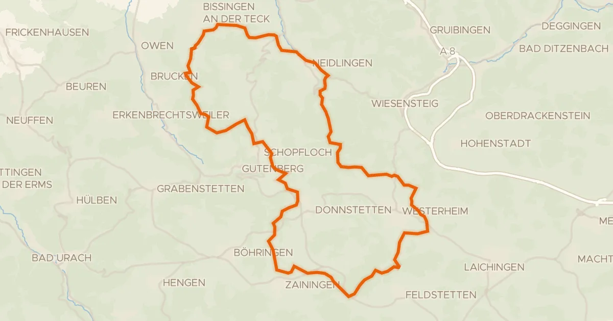
Gravel31% paved
Rondje Obere Diepoldsburg en Teck
58 km↑ 1,270 m17 km away
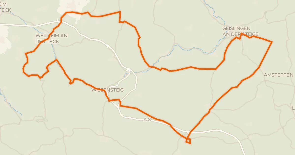
Road bike100% paved
Rondje Schloss Wiesensteig en Ruine Hahnenkamm
92 km↑ 1,818 m24 km away
Gravel30% paved
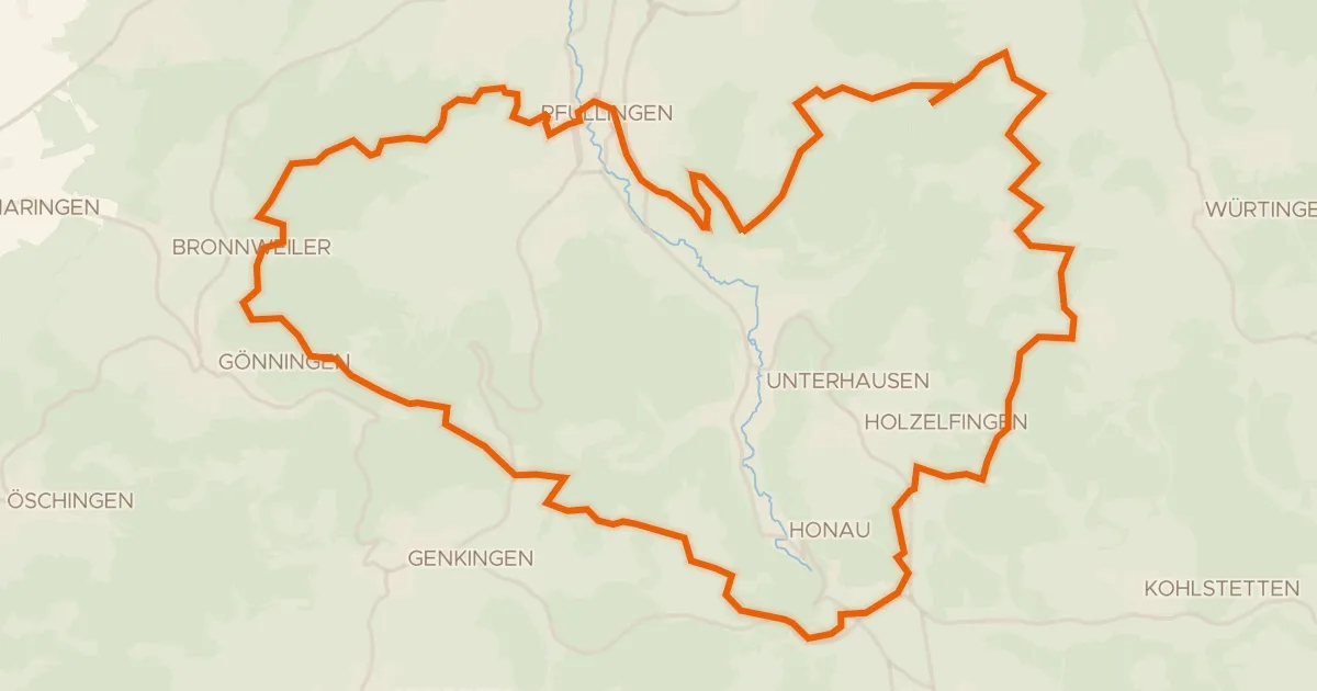
Rondje Kugelberg en Schloss Pfullingen
53 km↑ 1,223 m24 km away
Gravel32% paved
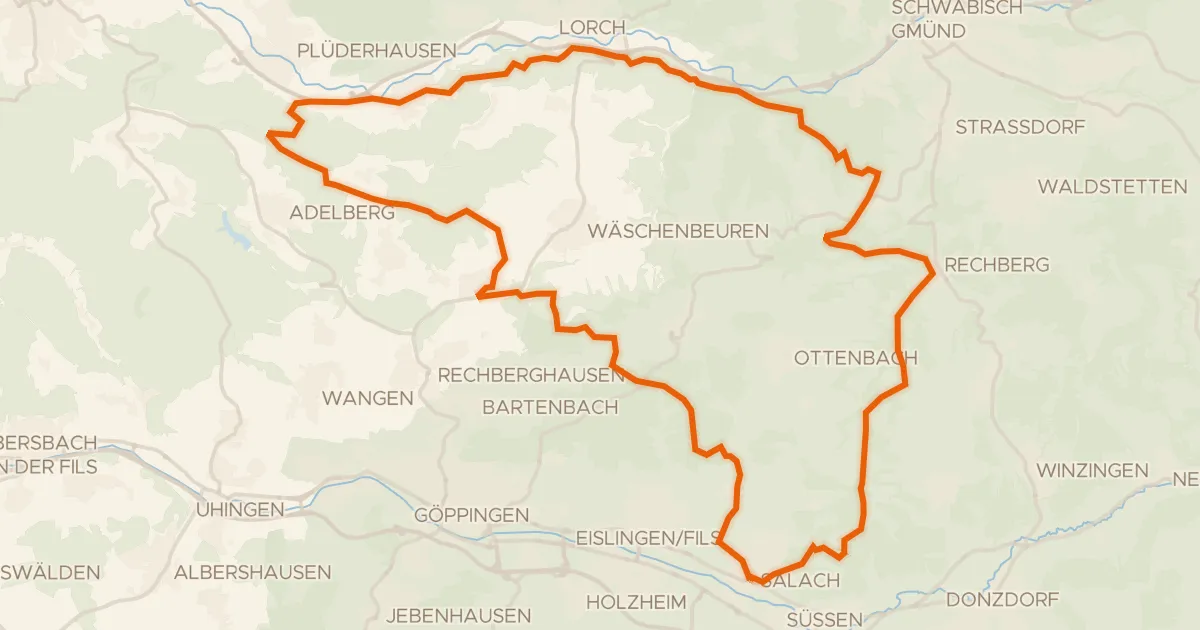
Rondje Burg Staufeneck en Hohenrechberg
58 km↑ 1,361 m26 km away