Back to the librarykm 1 · Aug 2023 · © tst / Mapillary, CC BY-SA km 19 · Aug 2024 · © msdess / Mapillary, CC BY-SA km 43–44km 45–47km 48–49
GravelRouteCasterRound trip
Rondje Wettenberger Ried en de Rottum
Distance
61 km
Ascent
764 m
Highest point
681 m
40% paved
Start from your location
Ride there from home: we find the shortest way to the loop and start the loop from there.
The ride
Roll out of Ochsenhausen and let the ride unfold: 61.2 km with 764 m of climbing, mostly on unpaved tracks. You follow the Rottum and the Untere Rottum, then cross the Wettenberger Ried nature reserve before meeting the Obere Rottum. The loop brings you back to Ochsenhausen.
Along the way
Climbs
Climb 1Hill
0.9 km at 3.7% · max 7.3%
Climb 2Cat. 4
2.2 km at 3.8% · max 12.8%
Climb 3Hill
0.7 km at 5.6% · max 10%
Routes nearby
Road bike99% paved
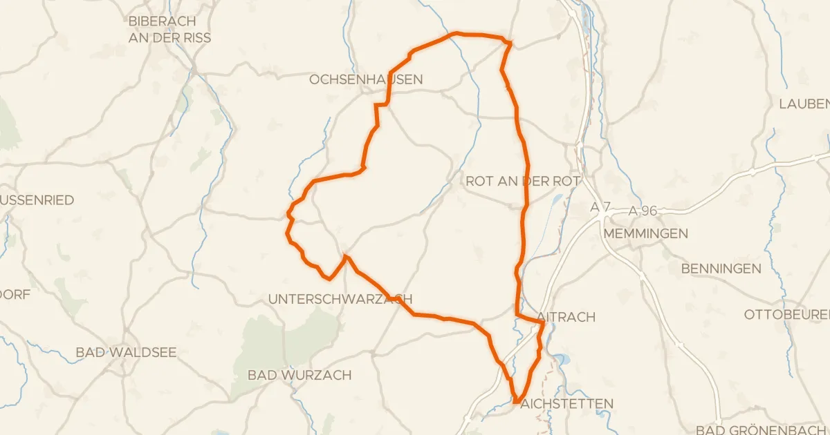
Rondje Burgruine Marstetten en Iller
71 km↑ 589 m9 km away
Gravel38% paved
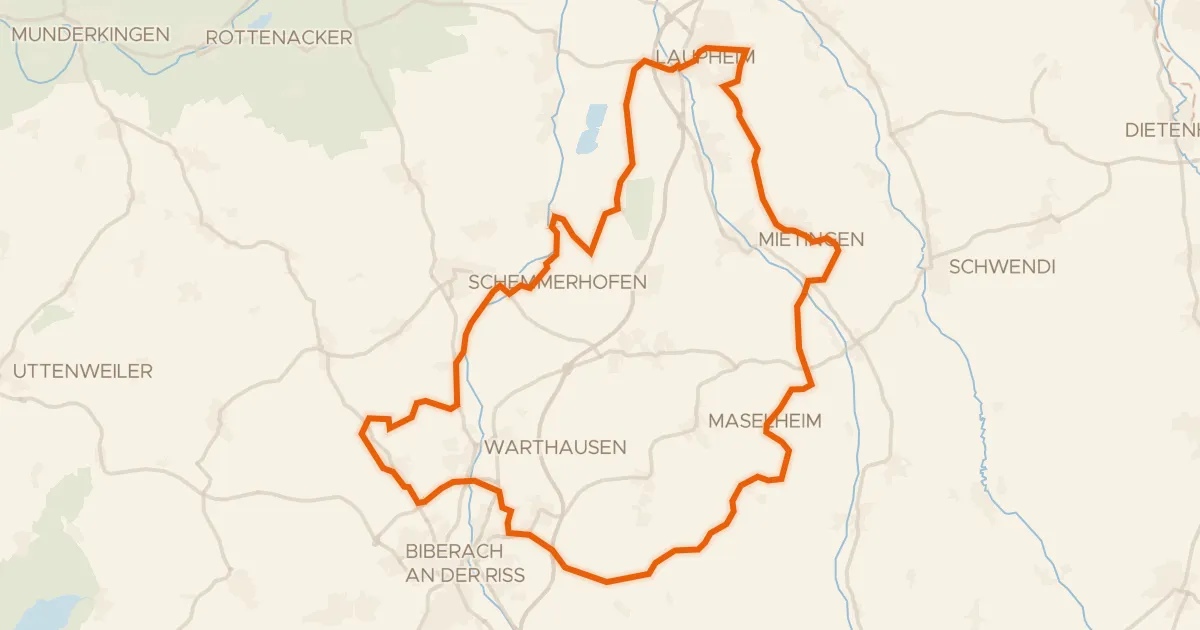
Rondje Schloss Großlaupheim en Riß
64 km↑ 496 m13 km away
Road bike100% paved
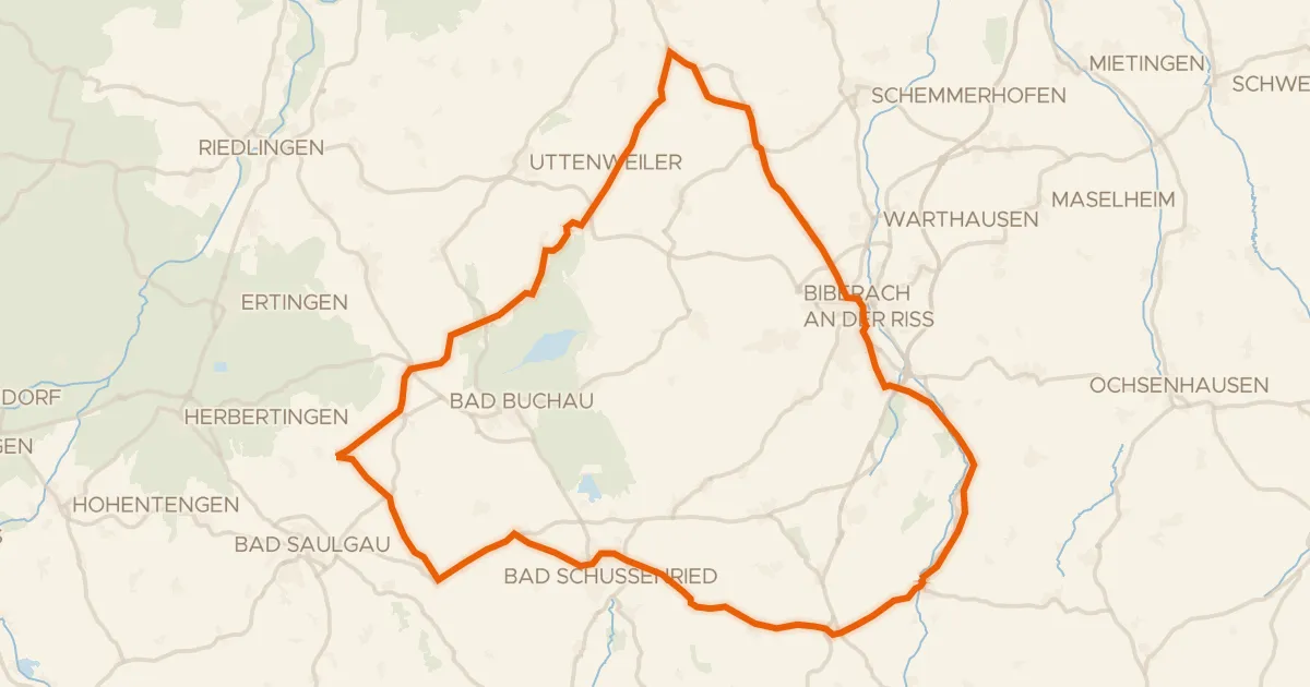
Rondje Federsee en Riß
82 km↑ 910 m20 km away
Road bike98% paved
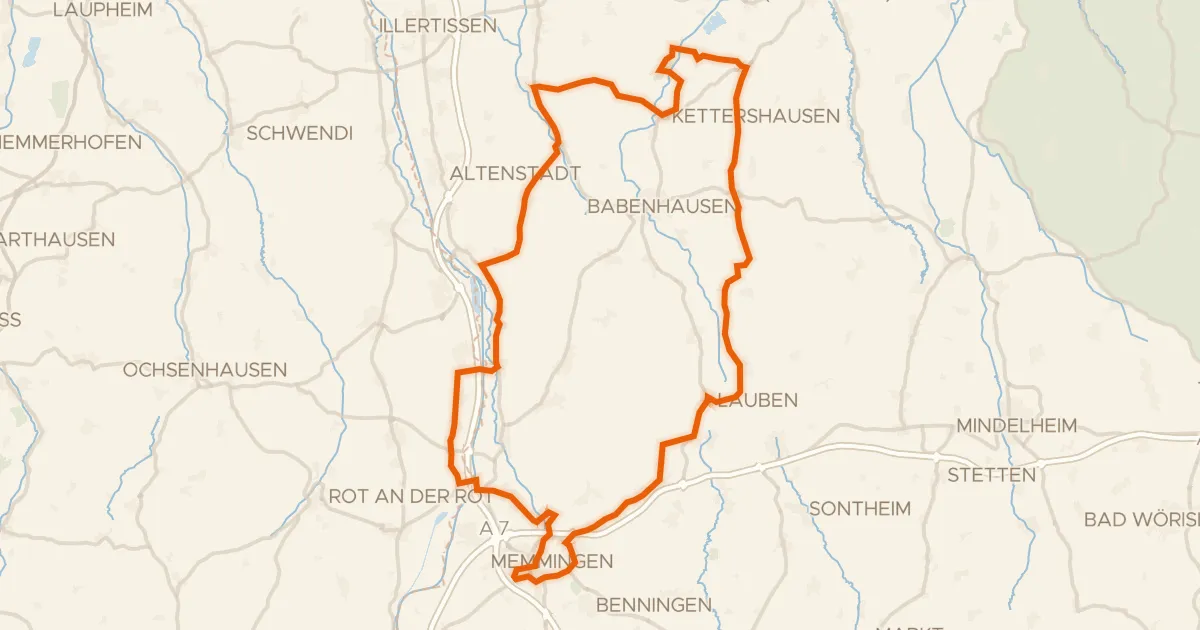
Rondje Schloss Grünenfurt en Iller
91 km↑ 588 m20 km away
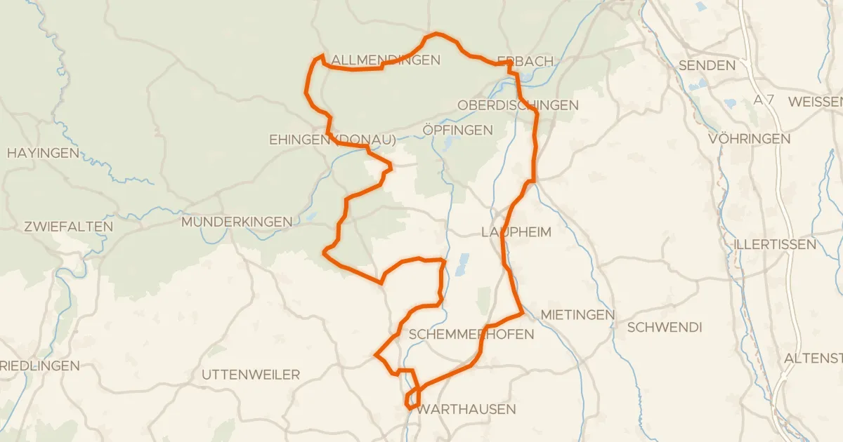
Road bike99% paved
Rondje Schloss Allmendingen en Mohn'scher Park
89 km↑ 595 m21 km away
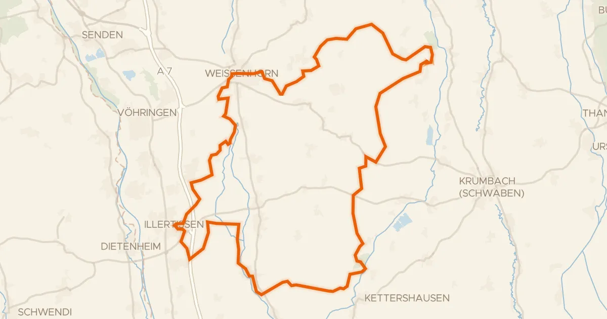
Gravel22% paved
Rondje Vöhlinschloss en Taubried
80 km↑ 613 m29 km away