Back to the librarykm 13 · May 2026 · © msdess / Mapillary, CC BY-SA km 25 · Jan 2026 · © xdTAGCLAN / Mapillary, CC BY-SA km 66 · Mar 2025 · © changchun1 / Mapillary, CC BY-SA km 70 · Jul 2022 · © Krumapper / Mapillary, CC BY-SA km 56–57km 81–83
Road bikeRouteCasterRound trip
Rondje Schloss Grünenfurt en Iller
Distance
91 km
Ascent
588 m
Highest point
630 m
98% paved
Start from your location
Ride there from home: we find the shortest way to the loop and start the loop from there.
The ride
Roll out of Lauben and up to the Bismarckturm viewpoint before the route settles in. Past Schloss Grünenfurt castle, the Iller and Roth rivers keep you company on the way to the Kettershausener Ried nature reserve. The Günz river leads you home, with 588 m of climbing spread gently across 90.6 km and just a sliver of unpaved surface.
Along the way
Climbs
Climb 1Hill
0.9 km at 3.8% · max 12.6%
Climb 2Hill
2.2 km at 3.1% · max 6.6%
Routes nearby
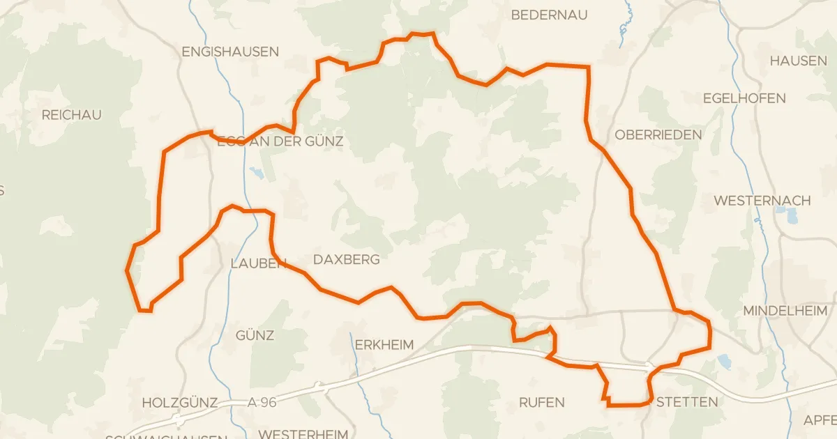
Gravel35% paved
Rondje Otterwald en Günz
60 km↑ 527 m5 km away
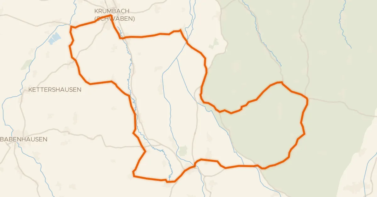
Road bike100% paved
Rondje Krumbacher Schloss en Mindel
73 km↑ 662 m18 km away
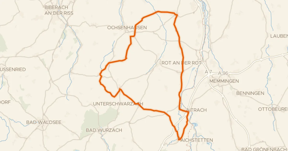
Road bike99% paved
Rondje Burgruine Marstetten en Iller
71 km↑ 589 m23 km away
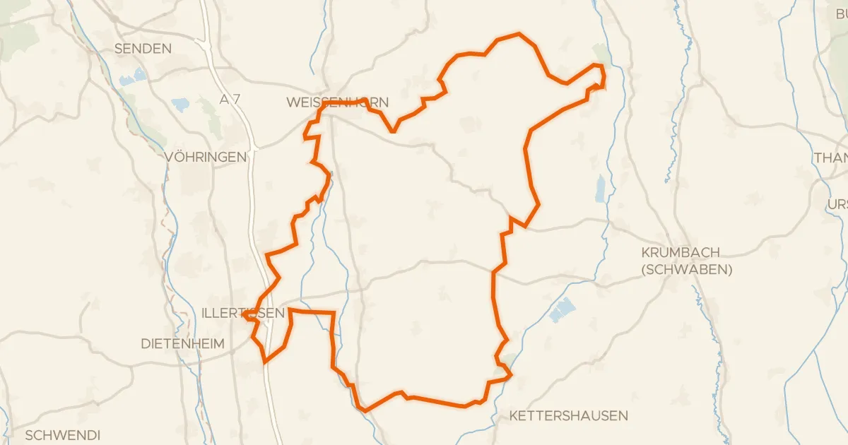
Gravel22% paved
Rondje Vöhlinschloss en Taubried
80 km↑ 613 m23 km away
Road bike99% paved
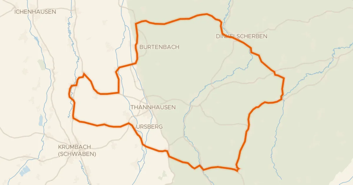
Rondje Schloss Burtenbach en Mindel
73 km↑ 632 m31 km away
Road bike98% paved
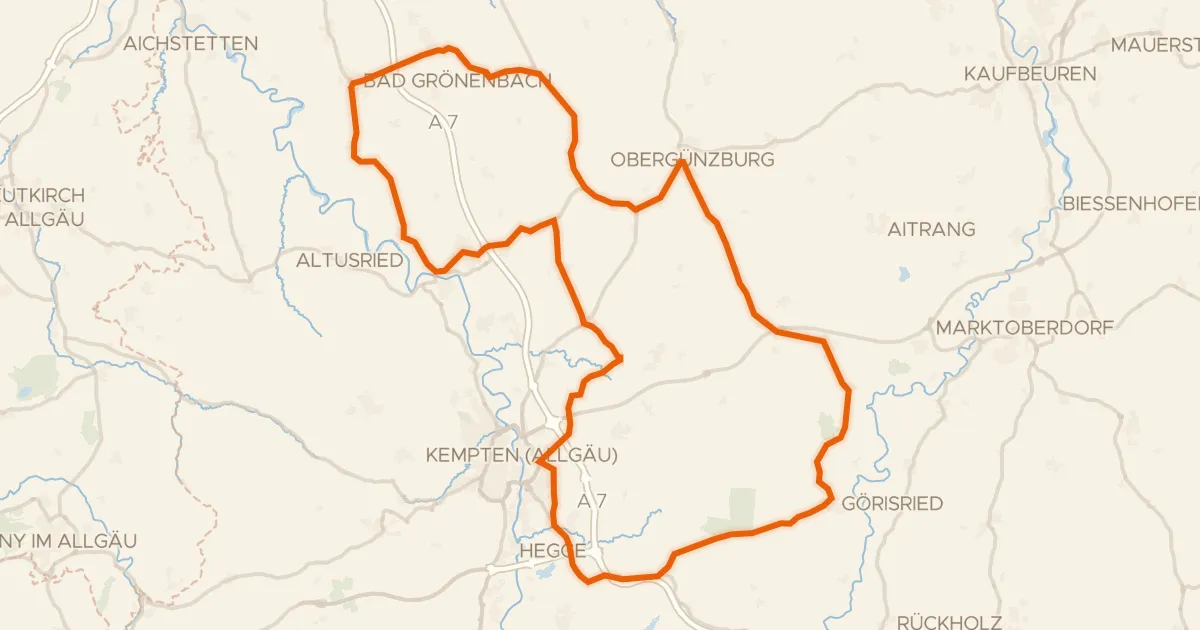
Rondje Hohes Schloss en Schornmoos
94 km↑ 1,035 m31 km away