Back to the librarykm 7–8km 36–38km 39–40
GravelRouteCasterRound trip
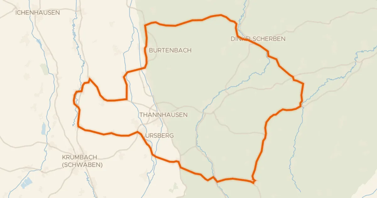
Rondje Otterwald en Günz
Distance
60 km
Ascent
527 m
Highest point
690 m
35% paved
Start from your location
Ride there from home: we find the shortest way to the loop and start the loop from there.
The ride
Roll out of Stetten and let the ride unfold: 59.9 km with 527 m of climbing, most of it on unpaved tracks. You follow the Günz river out of the village before the route climbs through the Otterwald forest. Then it's back to Stetten, where the loop closes.
Climbs
Climb 1Hill
1.1 km at 5% · max 12.8%
Climb 2Hill
1.9 km at 3.2% · max 11.8%
Climb 3Hill
0.9 km at 5.7% · max 13%
Routes nearby
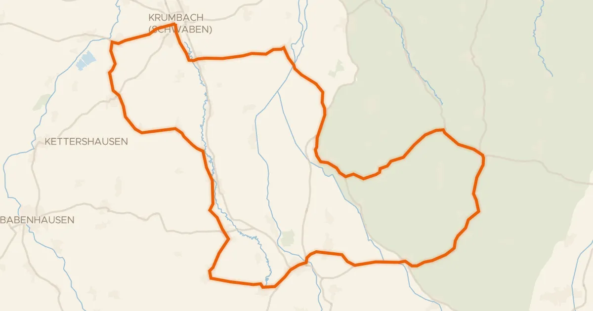
Road bike100% paved
Rondje Krumbacher Schloss en Mindel
73 km↑ 662 m17 km away
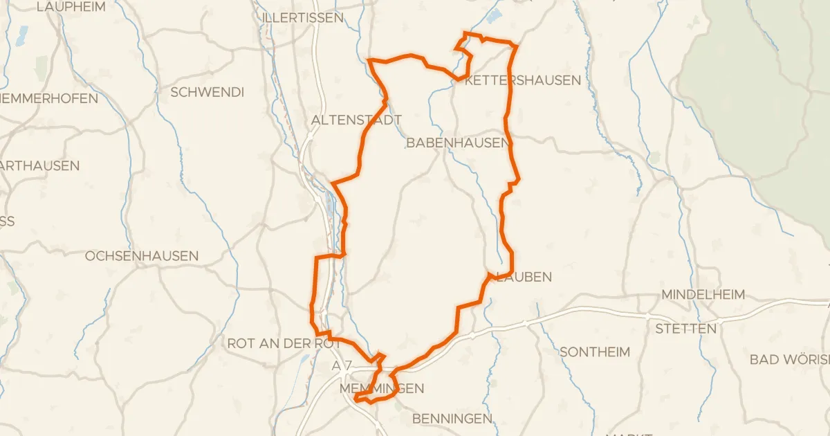
Road bike98% paved
Rondje Schloss Grünenfurt en Iller
91 km↑ 588 m18 km away
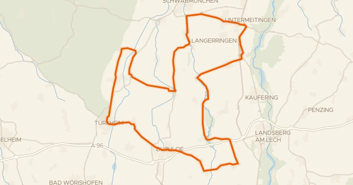
Road bike100% paved
Rondje Schloss Hurlach en Wertach
76 km↑ 270 m23 km away
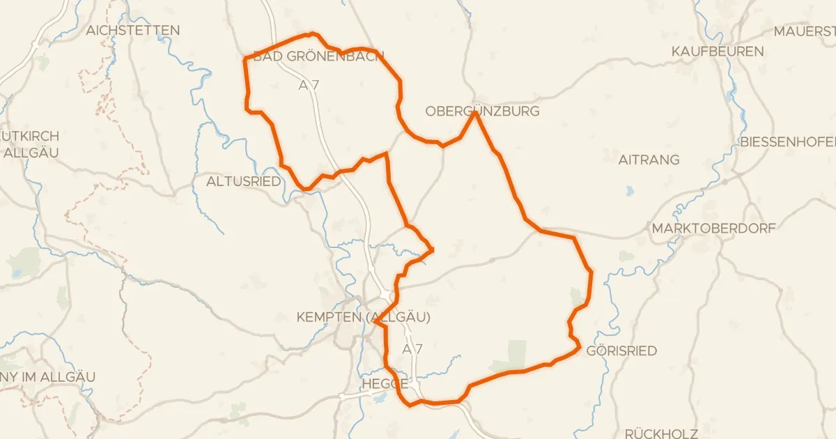
Road bike98% paved
Rondje Hohes Schloss en Schornmoos
94 km↑ 1,035 m27 km away
Road bike99% paved
Rondje Schloss Burtenbach en Mindel
73 km↑ 632 m31 km away
![Map of the cycling route [D9] Weser-Romantische Straße Teil 10](/thumbs/lib-1a95c2c7-adbb-48bb-b2d5-f7c47150f677.webp)
Touring83% paved
[D9] Weser-Romantische Straße Teil 10
147 km↑ 1,462 m31 km away