Back to the librarykm 18 · Jun 2022 · © looniverse / Mapillary, CC BY-SA km 28 · Aug 2022 · © Krumapper / Mapillary, CC BY-SA km 75 · Aug 2024 · © ray66 / Mapillary, CC BY-SA km 7–8km 11–11km 40–41km 63–63
GravelRouteCasterRound trip
Rondje Vöhlinschloss en Taubried
Distance
80 km
Ascent
613 m
Highest point
606 m
22% paved
Start from your location
Ride there from home: we find the shortest way to the loop and start the loop from there.
The ride
Roll out of Weißenhorn and the route soon trades pavement for gravel, with most of the 80.0 km running unpaved. You pass through Taubried and Kettershausener Ried, two nature reserves, before the Vöhlinschloss castle. Then it's along the West-Roth and Ost-Roth rivers, and back to Weißenhorn.
Along the way
Climbs
Climb 1Hill
0.6 km at 8.2% · max 18.8%
Climb 2Hill
0.6 km at 8% · max 12.3%
Climb 3Hill
0.8 km at 3.1% · max 13%
Climb 4Hill
0.9 km at 3.2% · max 10.1%
Routes nearby
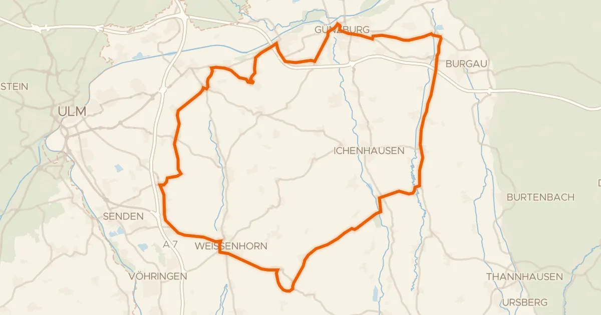
Road bike97% paved
Rondje Schloss Roggenburg en Taubried
82 km↑ 506 m9 km away
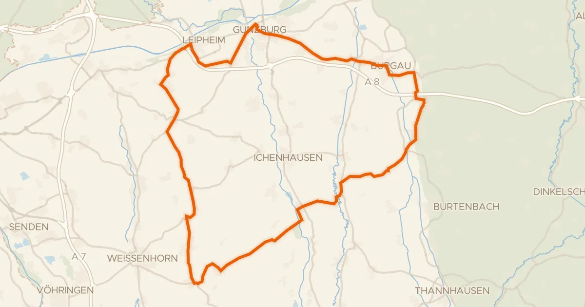
Road bike98% paved
Rondje Schloss Jettingen en Taubried
74 km↑ 555 m14 km away
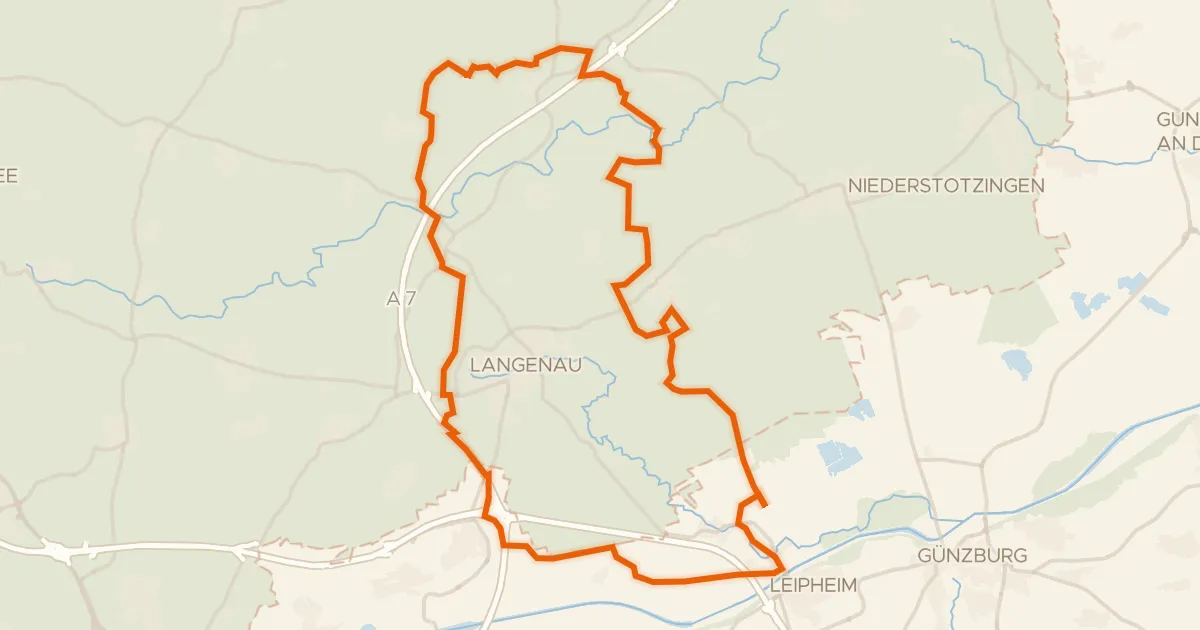
Gravel29% paved
Rondje Leipheimer Moos en Mittleres Lonetal
57 km↑ 362 m23 km away
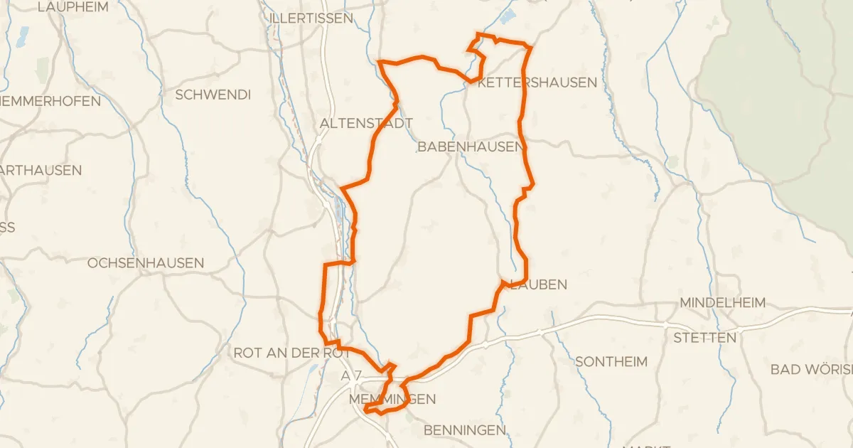
Road bike98% paved
Rondje Schloss Grünenfurt en Iller
91 km↑ 588 m24 km away
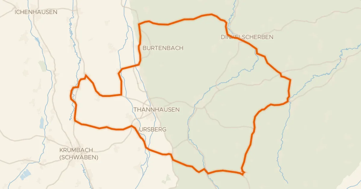
Road bike99% paved
Rondje Schloss Burtenbach en Mindel
73 km↑ 632 m26 km away
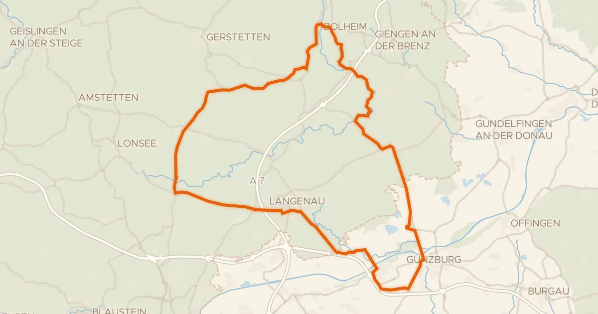
Road bike98% paved
Rondje Eselsburger Tal en Schloss Leipheim
82 km↑ 607 m26 km away